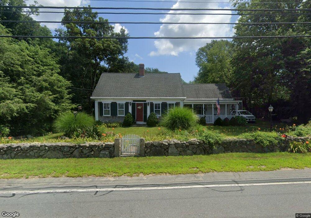
558 Main St Acushnet, MA 02743
Upper Acushnet NeighborhoodEstimated Value: $460,078 - $526,000
Studio
1
Bath
1,570
Sq Ft
$313/Sq Ft
Est. Value
About This Home
This home is located at 558 Main St, Acushnet, MA 02743 and is currently estimated at $491,270, approximately $312 per square foot. 558 Main St is a home located in Bristol County with nearby schools including Acushnet Elementary School, Albert F Ford Middle School, and Alma Del Mar Charter School.
Create a Home Valuation Report for This Property
The Home Valuation Report is an in-depth analysis detailing your home's value as well as a comparison with similar homes in the area
Home Values in the Area
Average Home Value in this Area
Tax History
| Year | Tax Paid | Tax Assessment Tax Assessment Total Assessment is a certain percentage of the fair market value that is determined by local assessors to be the total taxable value of land and additions on the property. | Land | Improvement |
|---|---|---|---|---|
| 2025 | $4,258 | $394,600 | $161,600 | $233,000 |
| 2024 | $4,173 | $365,700 | $153,100 | $212,600 |
| 2023 | $4,174 | $347,800 | $138,900 | $208,900 |
| 2022 | $4,156 | $313,200 | $130,400 | $182,800 |
| 2021 | $4 | $284,500 | $130,400 | $154,100 |
| 2020 | $4 | $276,000 | $121,900 | $154,100 |
| 2019 | $3,616 | $255,000 | $116,200 | $138,800 |
| 2018 | $4 | $244,600 | $116,200 | $128,400 |
| 2017 | $3,427 | $237,300 | $116,200 | $121,100 |
| 2016 | $3,448 | $237,300 | $116,200 | $121,100 |
| 2015 | $3,202 | $224,200 | $116,200 | $108,000 |
Source: Public Records
Map
Nearby Homes
- 489 Main St
- 363 Main St
- 0 Land Way Unit 73479153
- 25 Pershing Ave
- 23 Oliveira Ave
- 191 Hathaway Rd
- 329 Middle Rd
- 0 Hathaway Rd Unit 73469544
- 12 White St
- 7 Hamlin St
- 134 Nyes Ln
- 11 Boylston St
- 23 Coury Dr
- 14 Hayes St Unit 1
- 12 Hayes St Unit 1
- 27 Meadow Ln
- 1015 Forbes St
- 15 Ball St
- ES Acushnet Ave
- 40 Foley Dr
Your Personal Tour Guide
Ask me questions while you tour the home.