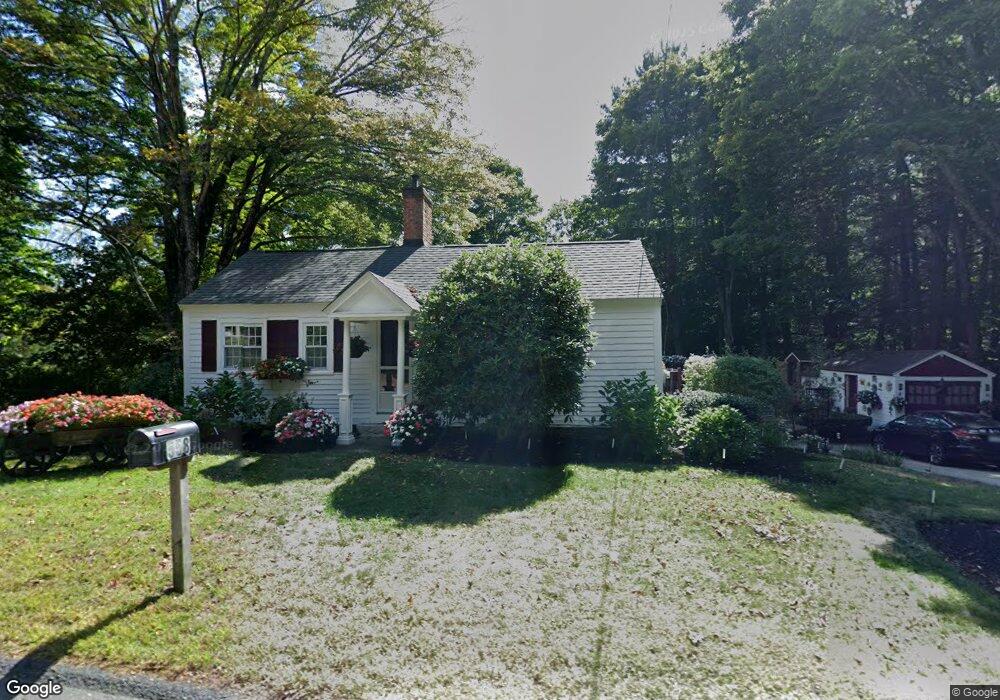
558 Main St Dunstable, MA 01827
Estimated Value: $362,049 - $656,000
2
Beds
3
Baths
932
Sq Ft
$557/Sq Ft
Est. Value
About This Home
This home is located at 558 Main St, Dunstable, MA 01827 and is currently estimated at $519,512, approximately $557 per square foot. 558 Main St is a home located in Middlesex County with nearby schools including Groton Dunstable Regional High School, 2nd Nature Academy, and Academy of Notre Dame - Upper School.
Ownership History
Date
Name
Owned For
Owner Type
Purchase Details
Closed on
Feb 27, 2025
Sold by
Tully Denise E
Bought by
Hound Meadow Llc
Current Estimated Value
Purchase Details
Closed on
Jun 20, 1997
Sold by
Day Howard F and Day Elizabeth L
Bought by
Tully Denise E
Create a Home Valuation Report for This Property
The Home Valuation Report is an in-depth analysis detailing your home's value as well as a comparison with similar homes in the area
Home Values in the Area
Average Home Value in this Area
Purchase History
| Date | Buyer | Sale Price | Title Company |
|---|---|---|---|
| Hound Meadow Llc | -- | None Available | |
| Hound Meadow Llc | -- | None Available | |
| Tully Denise E | $70,000 | -- | |
| Tully Denise E | $70,000 | -- |
Source: Public Records
Tax History
| Year | Tax Paid | Tax Assessment Tax Assessment Total Assessment is a certain percentage of the fair market value that is determined by local assessors to be the total taxable value of land and additions on the property. | Land | Improvement |
|---|---|---|---|---|
| 2025 | $3,857 | $280,500 | $131,400 | $149,100 |
| 2024 | $3,578 | $256,300 | $121,300 | $135,000 |
| 2023 | $3,711 | $247,900 | $121,300 | $126,600 |
| 2022 | $3,501 | $229,600 | $121,300 | $108,300 |
| 2021 | $20,680 | $214,600 | $111,200 | $103,400 |
| 2020 | $3,491 | $207,300 | $111,200 | $96,100 |
| 2019 | $3,537 | $207,300 | $111,200 | $96,100 |
| 2018 | $3,526 | $201,000 | $111,200 | $89,800 |
| 2017 | $3,421 | $201,000 | $111,200 | $89,800 |
| 2016 | $3,224 | $194,800 | $106,100 | $88,700 |
| 2015 | $2,991 | $178,800 | $89,000 | $89,800 |
| 2014 | $2,820 | $178,800 | $89,000 | $89,800 |
Source: Public Records
Map
Nearby Homes
- 319 Pleasant St
- 62 Brook St
- 0 Lowell St
- 153 Off Pond St
- 6 Green Heron Ln Unit U22
- 11 Lojko Dr
- 38 Georgetown Dr
- 141 Ridge Rd
- 1 Doucet Ave
- 77 Wilderness Dr
- 58 Wilderness Dr
- 65 Wilderness Dr
- 1 Wilderness Dr
- 2 Wilderness Dr
- 4 Wilderness Dr
- 79 Wilderness Dr
- 3 Wilderness Dr
- 7 Wilderness Dr
- 6 Wilderness Dr
- 57 Wilderness Dr
Your Personal Tour Guide
Ask me questions while you tour the home.