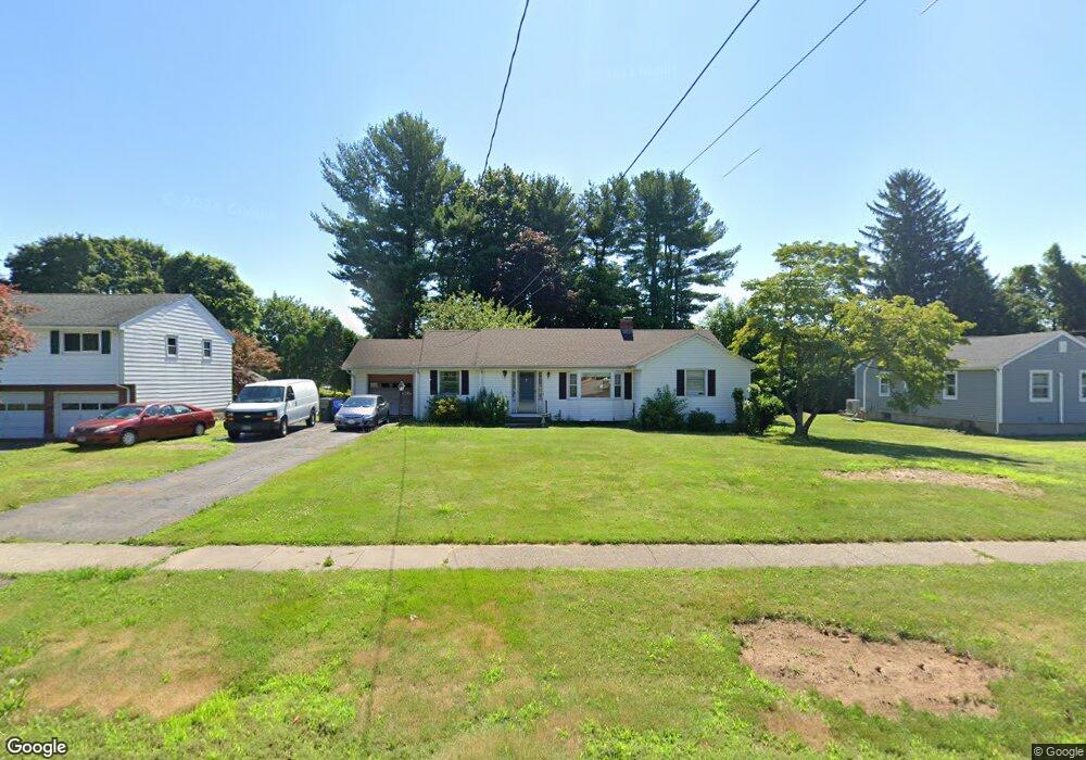
558 Maple St Wethersfield, CT 06109
Estimated Value: $366,000 - $416,000
2
Beds
2
Baths
1,270
Sq Ft
$303/Sq Ft
Est. Value
About This Home
This home is located at 558 Maple St, Wethersfield, CT 06109 and is currently estimated at $385,234, approximately $303 per square foot. 558 Maple St is a home located in Hartford County with nearby schools including Highcrest School, Silas Deane Middle School, and Wethersfield High School.
Create a Home Valuation Report for This Property
The Home Valuation Report is an in-depth analysis detailing your home's value as well as a comparison with similar homes in the area
Home Values in the Area
Average Home Value in this Area
Tax History
| Year | Tax Paid | Tax Assessment Tax Assessment Total Assessment is a certain percentage of the fair market value that is determined by local assessors to be the total taxable value of land and additions on the property. | Land | Improvement |
|---|---|---|---|---|
| 2025 | $9,122 | $221,310 | $92,610 | $128,700 |
| 2024 | $6,114 | $141,470 | $67,870 | $73,600 |
| 2023 | $5,911 | $141,470 | $67,870 | $73,600 |
| 2022 | $5,812 | $141,470 | $67,870 | $73,600 |
| 2021 | $5,754 | $141,470 | $67,870 | $73,600 |
| 2020 | $5,756 | $141,470 | $67,870 | $73,600 |
| 2019 | $5,763 | $141,470 | $67,870 | $73,600 |
| 2018 | $5,783 | $141,800 | $64,700 | $77,100 |
| 2017 | $5,639 | $141,800 | $64,700 | $77,100 |
| 2016 | $5,465 | $141,800 | $64,700 | $77,100 |
| 2015 | $5,415 | $141,800 | $64,700 | $77,100 |
| 2014 | $5,210 | $141,800 | $64,700 | $77,100 |
Source: Public Records
Map
Nearby Homes
- 72 Concord Dr
- 50 Concord Dr Unit 50
- 25 Sutton Rd
- 89 Merriman Rd
- 38 Wheeler Rd
- 22 Winesap Cir Unit 22
- 268 Fox Hill Rd
- 195 Middletown Ave
- 13 Robbins Ln Unit B
- 1610 Silas Deane Hwy
- 137 Dale Rd
- 455 Brimfield Rd
- 186 Hang Dog Ln
- 119 Coleman Rd
- 0 Collier Rd
- 3 Colonial Dr Unit C
- 101 Collier Rd
- 108 Chamberlain Rd
- 59 Chapin Ave
- 35 Stillwold Dr
Your Personal Tour Guide
Ask me questions while you tour the home.