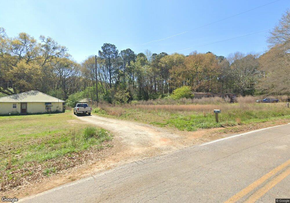
558 Miller McElreath Rd Danielsville, GA 30633
Estimated Value: $169,146 - $283,000
--
Bed
1
Bath
1,216
Sq Ft
$190/Sq Ft
Est. Value
About This Home
This home is located at 558 Miller McElreath Rd, Danielsville, GA 30633 and is currently estimated at $230,537, approximately $189 per square foot. 558 Miller McElreath Rd is a home located in Madison County with nearby schools including Madison County High School.
Ownership History
Date
Name
Owned For
Owner Type
Purchase Details
Closed on
Feb 5, 2020
Sold by
Hernandez Madison
Bought by
Hernandez Madison and Hernandez John Brett
Current Estimated Value
Purchase Details
Closed on
Nov 7, 2019
Sold by
Cronic Patricia
Bought by
Hernandez Madison and Lord Keenan
Purchase Details
Closed on
Aug 18, 2008
Sold by
Dias Margie
Bought by
Cronic Patricia
Purchase Details
Closed on
Jan 1, 1975
Bought by
Mcelreath Charlie
Create a Home Valuation Report for This Property
The Home Valuation Report is an in-depth analysis detailing your home's value as well as a comparison with similar homes in the area
Home Values in the Area
Average Home Value in this Area
Purchase History
| Date | Buyer | Sale Price | Title Company |
|---|---|---|---|
| Hernandez Madison | -- | -- | |
| Hernandez Madison | $21,000 | -- | |
| Cronic Patricia | $75,000 | -- | |
| Mcelreath Charlie | -- | -- |
Source: Public Records
Tax History Compared to Growth
Tax History
| Year | Tax Paid | Tax Assessment Tax Assessment Total Assessment is a certain percentage of the fair market value that is determined by local assessors to be the total taxable value of land and additions on the property. | Land | Improvement |
|---|---|---|---|---|
| 2024 | $1,218 | $46,782 | $27,343 | $19,439 |
| 2023 | $1,063 | $40,847 | $22,786 | $18,061 |
| 2022 | $874 | $31,677 | $15,665 | $16,012 |
| 2021 | $849 | $27,825 | $15,665 | $12,160 |
| 2020 | $785 | $25,547 | $13,387 | $12,160 |
| 2019 | $1,030 | $33,125 | $21,343 | $11,782 |
| 2018 | $961 | $30,807 | $19,527 | $11,280 |
| 2017 | $838 | $29,106 | $18,164 | $10,942 |
| 2016 | $785 | $27,356 | $18,164 | $9,192 |
| 2015 | $786 | $27,356 | $18,164 | $9,192 |
| 2014 | $765 | $26,483 | $17,290 | $9,192 |
| 2013 | -- | $26,483 | $17,290 | $9,192 |
Source: Public Records
Map
Nearby Homes
- 0 Highway 29 N Unit 10525658
- 84 Woodpecker Point
- 135 Woodpecker Point
- 135 Woodpecker Pte
- 0 Cedar Ln Unit 1026097
- 0 Cedar Ln Unit 10530523
- 107 Hill Lake Rd
- 4274 Highway 98 W
- 0 New Haven Church Rd Unit CL334534
- 0 New Haven Church Rd Unit 10566118
- 0 New Haven Church Rd Unit CL334526
- 0 New Haven Church Rd Unit 10566119
- 28 Acres Irvin Kirk Rd
- 1885 Highway 29 N
- 0 Brewer Phillips Rd Unit 10462348
- 0 Irvin Kirk Rd
- 155 Mulberry Ln
- 0 Hwy 29 N Unit 10574548
- 0 Hwy 29 N Unit CL335575
- 0 Carey-Ford Rd
- 0 Sandy Creek Rd Unit CM907931
- 0 Sandy Creek Rd Unit CM913939
- 0 Sandy Creek Rd Unit 2818245
- Lot 1B Miller McElreath Rd
- Lot 2 Miller McElreath Rd
- Lot 1 Miller McElreath Rd
- Tract 1 Miller McElreath Rd
- 1B Miller McElreath Rd
- 490 Miller McElreath Rd
- 685 Miller McElreath Rd
- 125 Westwood St Unit 18
- 388 Miller McClreath Rd
- 388 Miller McElreath Rd
- 386 Sandy Creek Rd
- 755 Stoyle Hattaway Rd
- 0 Tabor Church Rd Unit 9076107
- 1045 Stoyle Hattaway Rd
- 900 Stoyle Hattaway Rd
- 297 Sandy Creek Rd
- 802 Stoyle Hattaway Rd