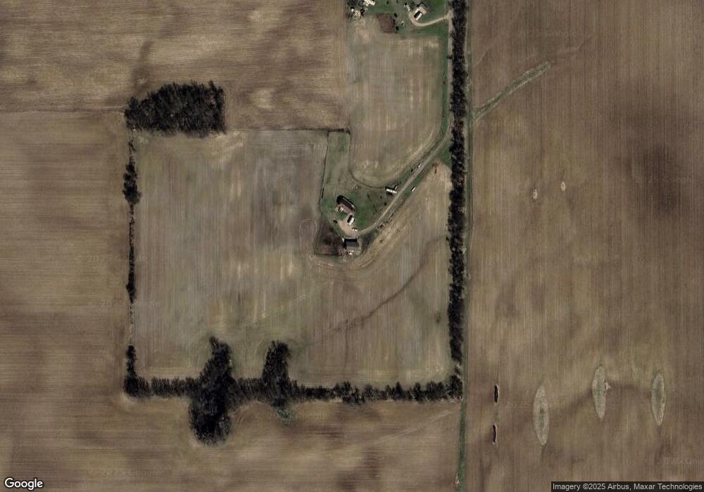
558 Portland Rd Portland, MI 48875
Estimated Value: $341,000 - $508,237
--
Bed
--
Bath
1,188
Sq Ft
$348/Sq Ft
Est. Value
About This Home
This home is located at 558 Portland Rd, Portland, MI 48875 and is currently estimated at $413,309, approximately $347 per square foot. 558 Portland Rd is a home with nearby schools including Coon School.
Ownership History
Date
Name
Owned For
Owner Type
Purchase Details
Closed on
Apr 16, 2021
Sold by
Sines Connie E
Bought by
Walkington Deven S
Current Estimated Value
Home Financials for this Owner
Home Financials are based on the most recent Mortgage that was taken out on this home.
Original Mortgage
$284,000
Outstanding Balance
$256,623
Interest Rate
3.05%
Mortgage Type
Construction
Estimated Equity
$156,686
Purchase Details
Closed on
Mar 30, 2012
Sold by
Sines Connie E and Sines Abraham L
Bought by
Sines Jack L and Sines Lavonne K
Create a Home Valuation Report for This Property
The Home Valuation Report is an in-depth analysis detailing your home's value as well as a comparison with similar homes in the area
Home Values in the Area
Average Home Value in this Area
Purchase History
| Date | Buyer | Sale Price | Title Company |
|---|---|---|---|
| Walkington Deven S | $290,000 | -- | |
| Sines Jack L | -- | -- |
Source: Public Records
Mortgage History
| Date | Status | Borrower | Loan Amount |
|---|---|---|---|
| Open | Walkington Deven S | $284,000 |
Source: Public Records
Tax History Compared to Growth
Tax History
| Year | Tax Paid | Tax Assessment Tax Assessment Total Assessment is a certain percentage of the fair market value that is determined by local assessors to be the total taxable value of land and additions on the property. | Land | Improvement |
|---|---|---|---|---|
| 2025 | $2,763 | $225,700 | $110,100 | $115,600 |
| 2024 | $1,390 | $225,700 | $110,100 | $115,600 |
| 2023 | $1,326 | $205,300 | $112,500 | $92,800 |
| 2022 | $1,263 | $205,300 | $112,500 | $92,800 |
| 2021 | $2,443 | $170,100 | $89,300 | $80,800 |
| 2020 | $1,212 | $170,100 | $89,300 | $80,800 |
| 2019 | $1,128 | $160,100 | $84,300 | $75,800 |
| 2018 | $2,360 | $130,200 | $75,200 | $55,000 |
| 2017 | $1,138 | $130,200 | $75,200 | $55,000 |
| 2016 | $1,128 | $111,200 | $67,800 | $43,400 |
| 2015 | -- | $111,200 | $67,800 | $43,400 |
| 2014 | -- | $109,200 | $61,000 | $48,200 |
Source: Public Records
Map
Nearby Homes
- 0 S State Rd Unit 25036464
- 0 S State Rd Unit 20240007398
- 1882 E Peck Lake Rd
- V/L Nicholas Rd
- 1433 W Peck Lake Rd
- 1651 Bennett Rd
- 3615 S State Rd
- 4336 Ainsworth Rd
- 11526 Jordan Lake Rd
- 13637 S State Rd
- 360 E Tuttle Rd Unit 6
- 90 W Tuttle Rd
- 193 Greenfield Dr
- 0 Reimer Dr
- 2180 Harwood Rd
- 111 Foxtail Unit 6
- 1978 Aspen Valley Ln
- 1976 Aspen Valley Ln
- 1956 Aspen Valley Ln
- 1731 Horizon Dr
