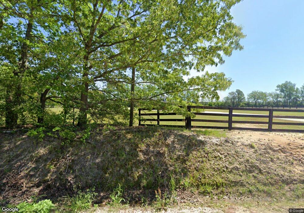
558 Potter Rd Raeford, NC 28376
Estimated Value: $318,000 - $417,692
--
Bed
--
Bath
2,142
Sq Ft
$170/Sq Ft
Est. Value
About This Home
This home is located at 558 Potter Rd, Raeford, NC 28376 and is currently estimated at $363,423, approximately $169 per square foot. 558 Potter Rd is a home with nearby schools including Hawk Eye Elementary School, Sandy Grove Middle School, and Hoke County High.
Ownership History
Date
Name
Owned For
Owner Type
Purchase Details
Closed on
Jul 15, 2024
Sold by
Mewherter Thomas F and Mewherter Stephanie N
Bought by
Wattenbarger Herbert Alan and Mewherter Lori A
Current Estimated Value
Home Financials for this Owner
Home Financials are based on the most recent Mortgage that was taken out on this home.
Original Mortgage
$401,837
Outstanding Balance
$396,719
Interest Rate
7.03%
Mortgage Type
VA
Estimated Equity
-$33,296
Purchase Details
Closed on
Jun 27, 2012
Sold by
Mewherter Frank W and Mewherter Barbara
Bought by
Mewherter Thomas F
Create a Home Valuation Report for This Property
The Home Valuation Report is an in-depth analysis detailing your home's value as well as a comparison with similar homes in the area
Home Values in the Area
Average Home Value in this Area
Purchase History
| Date | Buyer | Sale Price | Title Company |
|---|---|---|---|
| Wattenbarger Herbert Alan | $389,000 | None Listed On Document | |
| Mewherter Thomas F | -- | None Available |
Source: Public Records
Mortgage History
| Date | Status | Borrower | Loan Amount |
|---|---|---|---|
| Open | Wattenbarger Herbert Alan | $401,837 |
Source: Public Records
Tax History Compared to Growth
Tax History
| Year | Tax Paid | Tax Assessment Tax Assessment Total Assessment is a certain percentage of the fair market value that is determined by local assessors to be the total taxable value of land and additions on the property. | Land | Improvement |
|---|---|---|---|---|
| 2024 | $2,987 | $344,200 | $34,500 | $309,700 |
| 2023 | $2,987 | $344,200 | $34,500 | $309,700 |
| 2022 | $2,930 | $344,200 | $34,500 | $309,700 |
| 2021 | $2,386 | $270,880 | $15,300 | $255,580 |
| 2020 | $2,430 | $270,880 | $15,300 | $255,580 |
| 2019 | $2,430 | $270,880 | $15,300 | $255,580 |
| 2018 | $2,430 | $270,880 | $15,300 | $255,580 |
| 2017 | $2,430 | $270,880 | $15,300 | $255,580 |
| 2016 | $2,384 | $270,880 | $15,300 | $255,580 |
| 2015 | $2,384 | $270,880 | $15,300 | $255,580 |
| 2014 | $2,358 | $270,880 | $15,300 | $255,580 |
| 2013 | -- | $183,070 | $12,440 | $170,630 |
Source: Public Records
Map
Nearby Homes
- 1426 Red Springs Rd
- 0 Fire Tower Ln
- 709 S Main St
- 320 Neill Maxwell Rd
- 308 Arabia (Lot 1) Rd
- 0 Wallace McLean Unit 735470
- 240 Arabia (Lot 9) Rd
- 276 Arabia (Lot 6) Rd
- 282 Arabia (Lot 5) Rd
- 300 Arabia (Lot 2) Rd
- 203 Harris Ave
- 301 Harris Ave
- 755 Laurinburg Rd
- 151 Ratley St
- 109 N Dickson St
- 116 N Wright St
- 124 N Wright St
- 383 Union St
- 820 Potter Rd
- 365 Potter Rd
- 848 Potter Rd
- 391 Potter Rd
- 1550 Red Springs Rd
- 1551 Red Springs Rd
- 1549 Red Srings Rd
- 1448 Red Springs Rd
- 932 Potter Rd
- 942 Potter Rd
- 1451 Red Springs Rd
- 1360 Red Springs Rd
- 355 Potter Rd
- 820 Dr Willie McNeill Jr Dr
- 2116 Red Springs Rd
- 431 Old Maxton Rd
- 471 Old Maxton Rd
- 497 Old Maxton Rd
- 2169 Red Springs Rd
- 416 Old Maxton Rd
