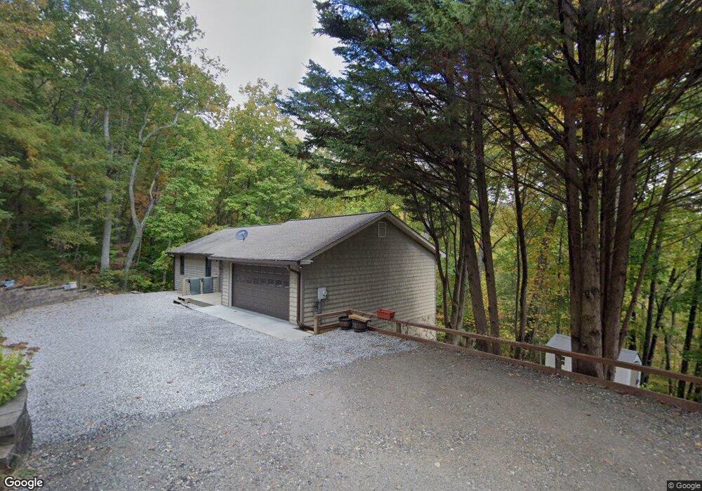
558 Smokey Estates Rd Unit 14B Blairsville, GA 30512
Estimated Value: $371,000 - $437,000
3
Beds
3
Baths
1,200
Sq Ft
$329/Sq Ft
Est. Value
About This Home
This home is located at 558 Smokey Estates Rd Unit 14B, Blairsville, GA 30512 and is currently estimated at $394,521, approximately $328 per square foot. 558 Smokey Estates Rd Unit 14B is a home located in Union County with nearby schools including Union County Primary School, Union County Elementary School, and Union County Middle School.
Ownership History
Date
Name
Owned For
Owner Type
Purchase Details
Closed on
Mar 31, 2021
Sold by
Thomas Terry T
Bought by
Sheppard Lawrence Harken and Danforth Jane Elizabeth
Current Estimated Value
Home Financials for this Owner
Home Financials are based on the most recent Mortgage that was taken out on this home.
Original Mortgage
$204,000
Outstanding Balance
$183,590
Interest Rate
2.8%
Mortgage Type
New Conventional
Estimated Equity
$210,931
Purchase Details
Closed on
Jan 11, 1999
Sold by
Ramsey Fred
Bought by
Thomas Martha M and Thomas Te
Purchase Details
Closed on
Aug 3, 1994
Bought by
Ramsey Fred
Create a Home Valuation Report for This Property
The Home Valuation Report is an in-depth analysis detailing your home's value as well as a comparison with similar homes in the area
Home Values in the Area
Average Home Value in this Area
Purchase History
| Date | Buyer | Sale Price | Title Company |
|---|---|---|---|
| Sheppard Lawrence Harken | $255,000 | -- | |
| Thomas Martha M | $104,900 | -- | |
| Ramsey Fred | -- | -- |
Source: Public Records
Mortgage History
| Date | Status | Borrower | Loan Amount |
|---|---|---|---|
| Open | Sheppard Lawrence Harken | $204,000 |
Source: Public Records
Tax History Compared to Growth
Tax History
| Year | Tax Paid | Tax Assessment Tax Assessment Total Assessment is a certain percentage of the fair market value that is determined by local assessors to be the total taxable value of land and additions on the property. | Land | Improvement |
|---|---|---|---|---|
| 2024 | $1,519 | $130,600 | $9,000 | $121,600 |
| 2023 | $1,702 | $129,840 | $9,000 | $120,840 |
| 2022 | $1,331 | $103,120 | $9,000 | $94,120 |
| 2021 | $1,305 | $84,800 | $9,000 | $75,800 |
| 2020 | $1,107 | $60,497 | $10,268 | $50,229 |
| 2019 | $1,046 | $60,497 | $10,268 | $50,229 |
| 2018 | $1,063 | $60,497 | $10,268 | $50,229 |
| 2017 | $1,028 | $60,497 | $10,268 | $50,229 |
| 2016 | $1,028 | $60,497 | $10,268 | $50,229 |
| 2015 | $1,037 | $60,497 | $10,268 | $50,229 |
| 2013 | -- | $60,497 | $10,268 | $50,229 |
Source: Public Records
Map
Nearby Homes
- 303 Butternut Creek Rd
- 64 Town View Cir
- 3 A Moss Cove Rd
- 9.36A Hwy 515 Thomas Cir
- 43 Diane St
- 534 Doc Thomas Ridge Rd
- L 48C Byron St
- 1837 Deep South Farm Rd
- 34 Travadens Way
- 315 Dosier Dr
- 8 Firefly Ridge Rd
- 198 Butternut Ln
- 5.7 ac Butternut Grove Rd
- LOT 34 the Overlook at Young Harris
- Lot 35 Overlook Dr
- Lot #5 Overlook Dr
- 5 Overlook Dr
- 8 Overlook Dr
- LOT 40 Overlook Dr
- Lot #40 Overlook Dr
- 558 Smokey Estates Rd
- 516 Smokey Estates Rd
- 563 Smokey Estates Rd
- 588 Smokey Estates Rd
- 533 Smokey Estates Rd
- 1930 Locust Dr
- 69 Locust Dr
- 52 Locust Rd
- 632 Smokey Estates Rd
- 1061 Madeline Way
- 1009 Madeline Way
- 125 Locust Rd
- 601 Smokey Estates Rd
- 516 Rd
- 0 White Oak Dr
- 82 White Oak Dr
- 0 Smokey Estates Rd Unit 7295379
- 0 Smokey Estates Rd
- 635 Smokey Estates Rd
- 23 Locust Rd