558 Sugar Hill Rd Brockway, PA 15824
Estimated Value: $169,000 - $286,000
Studio
--
Bath
1,344
Sq Ft
$174/Sq Ft
Est. Value
About This Home
This home is located at 558 Sugar Hill Rd, Brockway, PA 15824 and is currently estimated at $233,198, approximately $173 per square foot. 558 Sugar Hill Rd is a home located in Jefferson County with nearby schools including Brockway Area Elementary School, Brockway Area Junior/Senior High School, and Reitz Crossing Amish School.
Ownership History
Date
Name
Owned For
Owner Type
Purchase Details
Closed on
Feb 29, 2008
Sold by
Barraclough Dale B and Emery Susan E
Bought by
Pierce Elmer S and Pierce Judith A
Current Estimated Value
Home Financials for this Owner
Home Financials are based on the most recent Mortgage that was taken out on this home.
Original Mortgage
$81,000
Outstanding Balance
$15,823
Interest Rate
5.72%
Mortgage Type
New Conventional
Estimated Equity
$217,375
Create a Home Valuation Report for This Property
The Home Valuation Report is an in-depth analysis detailing your home's value as well as a comparison with similar homes in the area
Purchase History
| Date | Buyer | Sale Price | Title Company |
|---|---|---|---|
| Pierce Elmer S | $90,000 | None Available |
Source: Public Records
Mortgage History
| Date | Status | Borrower | Loan Amount |
|---|---|---|---|
| Open | Pierce Elmer S | $81,000 |
Source: Public Records
Tax History
| Year | Tax Paid | Tax Assessment Tax Assessment Total Assessment is a certain percentage of the fair market value that is determined by local assessors to be the total taxable value of land and additions on the property. | Land | Improvement |
|---|---|---|---|---|
| 2025 | $2,743 | $69,910 | $4,010 | $65,900 |
| 2024 | $3,175 | $69,910 | $4,010 | $65,900 |
| 2023 | $2,638 | $69,910 | $4,010 | $65,900 |
| 2022 | $2,638 | $69,910 | $4,010 | $65,900 |
| 2021 | $2,543 | $67,840 | $5,070 | $62,770 |
| 2020 | $2,543 | $67,840 | $5,070 | $62,770 |
| 2019 | $2,431 | $67,840 | $5,070 | $62,770 |
| 2018 | $2,368 | $67,840 | $5,070 | $62,770 |
| 2017 | $2,330 | $67,840 | $5,070 | $62,770 |
| 2016 | $2,120 | $67,840 | $5,070 | $62,770 |
| 2015 | -- | $67,840 | $5,070 | $62,770 |
| 2012 | -- | $67,840 | $5,070 | $62,770 |
Source: Public Records
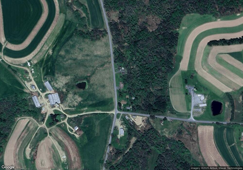
Map
Nearby Homes
- 0 Woodbury Rd
- 14833 Pennsylvania 28
- 00 Pennsylvania 830
- 2278 Egypt Rd
- 3243 Stevenson Hill Rd
- 559 Buskirk Rd
- 3423 Clay Plant Rd
- 432 Broad St
- 6464 Sulgar Rd
- 893 9th Ave
- 1103 Beechtree Rd
- 7956 U S 219
- 765 Laurel Run Rd
- 50 Steele Rd
- 1144 Shaffer Rd
- 4908 Pennsylvania 28
- 229 Reed St
- LOT 1 Britton Dr
- LOT 12 Britton Dr
- LOT 6 Britton Dr
- 19 Cyphert Rd
- 40 Cyphert Rd
- 169 Cyphert Rd
- 436 Sugar Hill Rd
- 108 Cyphert Rd
- 342 Sugar Hill Rd
- 855 Sugar Hill Rd
- 710 Sugar Hill Rd
- 314 Cyphert Rd
- 936 Sugar Hill Rd
- 348 Cyphert Rd
- 1021 Sugar Hill Rd
- 198 Sugar Hill Rd
- 355 Cyphert Rd
- 229 Bushley Rd
- 1428 Coal Glen Rd
- 1887 Reitz Crossing Rd
- 206 Bushley Rd
- 1375 Coal Glen Rd
- 466 Woodbury Rd
Your Personal Tour Guide
Ask me questions while you tour the home.