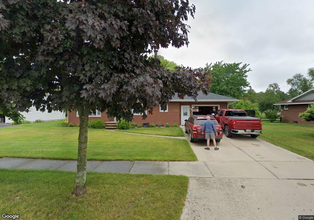
558 W Woodward Ave Rogers City, MI 49779
Estimated Value: $126,000 - $168,000
2
Beds
2
Baths
1,000
Sq Ft
$154/Sq Ft
Est. Value
About This Home
This home is located at 558 W Woodward Ave, Rogers City, MI 49779 and is currently estimated at $153,556, approximately $153 per square foot. 558 W Woodward Ave is a home located in Presque Isle County with nearby schools including Rogers City Elementary School, Rogers City High School, and St. John Lutheran School.
Ownership History
Date
Name
Owned For
Owner Type
Purchase Details
Closed on
Aug 6, 2013
Sold by
Rose Mary Mcdonald Trust Agreement Date
Bought by
Modrzynski Brent E and Modrzynski Kathleen E
Current Estimated Value
Purchase Details
Closed on
Jun 5, 2006
Sold by
Mcdonald Rose Mary
Bought by
Carnali Louis J and Carnali Margaret R
Home Financials for this Owner
Home Financials are based on the most recent Mortgage that was taken out on this home.
Original Mortgage
$93,300
Interest Rate
6.54%
Mortgage Type
Purchase Money Mortgage
Purchase Details
Closed on
May 5, 2006
Sold by
Biernott Dennis E and Biernott Betty J
Bought by
Rose Mary Mcdonald Living Trust
Home Financials for this Owner
Home Financials are based on the most recent Mortgage that was taken out on this home.
Original Mortgage
$93,300
Interest Rate
6.54%
Mortgage Type
Purchase Money Mortgage
Create a Home Valuation Report for This Property
The Home Valuation Report is an in-depth analysis detailing your home's value as well as a comparison with similar homes in the area
Home Values in the Area
Average Home Value in this Area
Purchase History
| Date | Buyer | Sale Price | Title Company |
|---|---|---|---|
| Modrzynski Brent E | $61,500 | -- | |
| Carnali Louis J | $95,000 | -- | |
| Rose Mary Mcdonald Living Trust | $95,000 | -- |
Source: Public Records
Mortgage History
| Date | Status | Borrower | Loan Amount |
|---|---|---|---|
| Previous Owner | Rose Mary Mcdonald Living Trust | $93,300 |
Source: Public Records
Tax History Compared to Growth
Tax History
| Year | Tax Paid | Tax Assessment Tax Assessment Total Assessment is a certain percentage of the fair market value that is determined by local assessors to be the total taxable value of land and additions on the property. | Land | Improvement |
|---|---|---|---|---|
| 2025 | $1,548 | $64,900 | $0 | $0 |
| 2024 | $1,236 | $55,800 | $0 | $0 |
| 2023 | $1,179 | $49,200 | $0 | $0 |
| 2022 | $1,427 | $41,300 | $0 | $0 |
| 2021 | $1,382 | $40,600 | $0 | $0 |
| 2020 | $1,339 | $36,500 | $0 | $0 |
| 2019 | $1,314 | $35,700 | $0 | $0 |
| 2018 | $1,286 | $38,200 | $0 | $0 |
| 2016 | -- | $33,600 | $0 | $0 |
| 2014 | -- | $32,800 | $0 | $0 |
Source: Public Records
Map
Nearby Homes
- 0 451 Hwy Unit 201834784
- 354 N 6th St
- 312 E Orchard St
- 0 M-68 Unit 201836886
- 0 M-68 Unit 28 Acres 201828504
- 360 E Huron Ave
- 0 Airport Hwy & County Road 451 Unit 201836885
- 0 Airport Hwy Unit 201836889
- 0 Airport Hwy Unit 201836891
- 1089 Dettloff St
- 440 Hemlock St
- 1194 Larke Ave
- 1334 N Cedar St
- V/L W Airport Hwy
- 0 W Airport Hwy Unit 201835935
- 0 M-68 Hwy and Airport Rd Unit 201836887
- 1053 St Paul St
- 1367 Wenzel Hwy
- 1473 W Heythaler Hwy
- 6850 Beach Rd
- 576 W Woodward Ave
- 576 W Woodward Ave
- 538 W Woodward Ave
- 559 W Woodward Ave
- 541 W Woodward Ave
- 577 W Woodward Ave
- 525 W Woodward Ave
- 312 Hoeft Rd
- 246 Hoeft Rd
- 545 W Ontario St
- 568 Stone Ln
- 261 S 7th St
- 333 S 7th St
- 309 Hoeft Rd
- 309 Hoeft Rd
- 259 Hoeft Rd
- 328 Hoeft Rd
- 515 W Ontario St
- 515 W Ontario St
- 279 Hoeft Rd