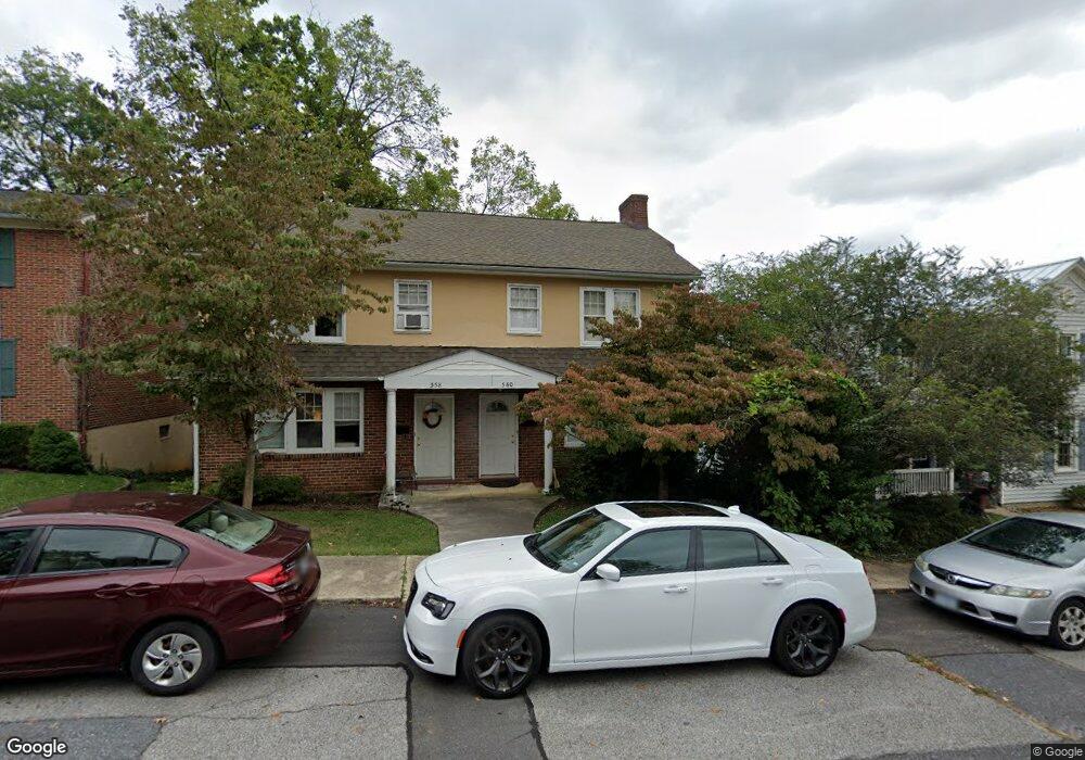
558 Walnut Ave Waynesboro, VA 22980
Estimated Value: $316,000 - $355,000
6
Beds
2
Baths
2,542
Sq Ft
$132/Sq Ft
Est. Value
About This Home
This home is located at 558 Walnut Ave, Waynesboro, VA 22980 and is currently estimated at $334,762, approximately $131 per square foot. 558 Walnut Ave is a home located in Waynesboro City with nearby schools including Berkeley Glenn Elementary School, Kate Collins Middle School, and Waynesboro High School.
Ownership History
Date
Name
Owned For
Owner Type
Purchase Details
Closed on
Jan 14, 2016
Sold by
Powers Carol S
Bought by
Teague Properties Llc A Virginia Limited
Current Estimated Value
Home Financials for this Owner
Home Financials are based on the most recent Mortgage that was taken out on this home.
Original Mortgage
$147,500
Outstanding Balance
$117,540
Interest Rate
4.02%
Mortgage Type
Commercial
Estimated Equity
$217,222
Create a Home Valuation Report for This Property
The Home Valuation Report is an in-depth analysis detailing your home's value as well as a comparison with similar homes in the area
Purchase History
| Date | Buyer | Sale Price | Title Company |
|---|---|---|---|
| Teague Properties Llc A Virginia Limited | $147,500 | Attorney |
Source: Public Records
Mortgage History
| Date | Status | Borrower | Loan Amount |
|---|---|---|---|
| Open | Teague Properties Llc A Virginia Limited | $147,500 |
Source: Public Records
Tax History
| Year | Tax Paid | Tax Assessment Tax Assessment Total Assessment is a certain percentage of the fair market value that is determined by local assessors to be the total taxable value of land and additions on the property. | Land | Improvement |
|---|---|---|---|---|
| 2025 | $2,314 | $282,200 | $68,500 | $213,700 |
| 2024 | $1,841 | $239,100 | $42,500 | $196,600 |
| 2023 | $1,841 | $239,100 | $42,500 | $196,600 |
| 2022 | $1,489 | $165,400 | $40,000 | $125,400 |
| 2021 | $1,489 | $165,400 | $40,000 | $125,400 |
| 2020 | $1,409 | $156,500 | $40,000 | $116,500 |
| 2019 | $1,409 | $156,500 | $40,000 | $116,500 |
| 2018 | $1,353 | $150,300 | $40,000 | $110,300 |
| 2017 | $1,308 | $150,300 | $40,000 | $110,300 |
| 2016 | $1,193 | $149,100 | $40,000 | $109,100 |
| 2015 | $1,193 | $149,100 | $40,000 | $109,100 |
| 2014 | -- | $145,600 | $40,000 | $105,600 |
| 2013 | -- | $0 | $0 | $0 |
Source: Public Records
Map
Nearby Homes
- 428 Maple Ave
- 314 13th St
- 700 Rife Rd Unit 7-I
- 315 W 12th St
- 317 W 12th St
- 842 Maple Ave
- 833 Jefferson Ave
- 424 Oak Ave
- 1215 W 12th St
- 1305 13th St
- 373 S Magnolia Ave
- 220 Elizabeth Ave
- 1133 Club Rd
- 701 Western Rd
- 1200 Club Rd
- 252 Port Republic Rd
- 315 Dupont Cir
- LOT 2 Port Republic Rd
- 600 E Main St
- 222 King Ave
Your Personal Tour Guide
Ask me questions while you tour the home.