Estimated Value: $574,053 - $798,000
3
Beds
2
Baths
2,240
Sq Ft
$303/Sq Ft
Est. Value
About This Home
This home is located at 55800 E 315 Rd, Jay, OK 74346 and is currently estimated at $679,513, approximately $303 per square foot. 55800 E 315 Rd is a home located in Delaware County with nearby schools including Grove Lower Elementary School, Grove Upper Elementary School, and Grove Middle School.
Ownership History
Date
Name
Owned For
Owner Type
Purchase Details
Closed on
Nov 10, 2025
Sold by
Pogue David M and Pogue Susan H
Bought by
David M And Susan H Pogue Family Revocable Li and Pogue
Current Estimated Value
Purchase Details
Closed on
Jun 28, 2022
Sold by
Pogue David M and Hoagland Susan
Bought by
Pogue David M and Pogue Susan Hoagland
Purchase Details
Closed on
May 1, 2011
Sold by
Poe Max W
Create a Home Valuation Report for This Property
The Home Valuation Report is an in-depth analysis detailing your home's value as well as a comparison with similar homes in the area
Purchase History
| Date | Buyer | Sale Price | Title Company |
|---|---|---|---|
| David M And Susan H Pogue Family Revocable Li | -- | None Listed On Document | |
| Pogue David M | $13,333 | None Listed On Document | |
| -- | $215,000 | -- |
Source: Public Records
Tax History
| Year | Tax Paid | Tax Assessment Tax Assessment Total Assessment is a certain percentage of the fair market value that is determined by local assessors to be the total taxable value of land and additions on the property. | Land | Improvement |
|---|---|---|---|---|
| 2025 | $2,928 | $37,169 | $11,232 | $25,937 |
| 2024 | $2,750 | $34,969 | $10,905 | $24,064 |
| 2023 | $2,750 | $31,067 | $10,617 | $20,450 |
| 2022 | $2,435 | $31,068 | $10,608 | $20,460 |
| 2021 | $2,356 | $30,162 | $10,628 | $19,534 |
| 2020 | $2,324 | $29,285 | $10,590 | $18,695 |
| 2019 | $2,262 | $27,603 | $10,396 | $17,207 |
| 2018 | $2,189 | $27,604 | $10,447 | $17,157 |
| 2017 | $2,130 | $26,800 | $10,276 | $16,524 |
| 2016 | $2,150 | $26,525 | $10,364 | $16,161 |
| 2015 | $1,982 | $22,963 | $8,901 | $14,062 |
| 2014 | $1,992 | $22,963 | $8,901 | $14,062 |
Source: Public Records
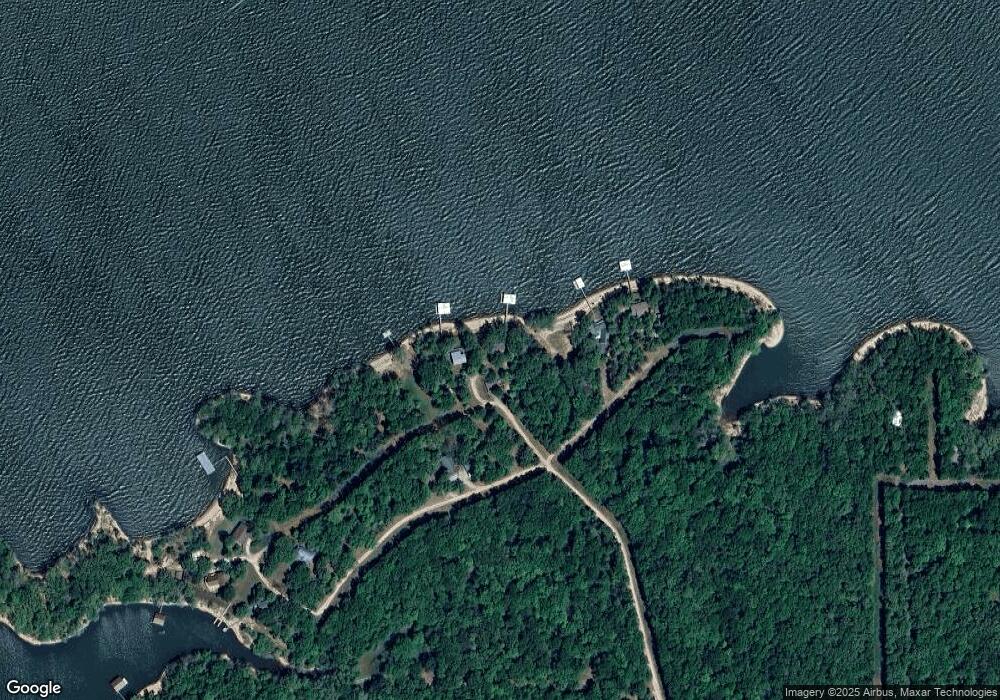
Map
Nearby Homes
- 55881 E 316 Rd
- 55640 E 319 Trail
- 55600 E 319 Trail
- 32302 S 555 Rd
- 30311 S 555 Rd Unit 20
- 31664 S 571 Ln
- 56853 E 318 Rd
- 30501 S 562 Rd Unit 29
- 30313 S 561 Rd
- 30310 S 562 Rd
- 56281 E 305 Rd
- 30700 S 563 Rd
- 55275 E 298 Rd Unit 1
- 55275 E 298 Rd Unit no. 5
- 30186 S 565 Rd
- 30641 E 5th
- 30641 S 5th St
- 453899 Tara Trail
- 30397 S 567 Rd Unit 16
- 30397 S 567 Rd Unit 58
- 55850 E 315 Rd
- 55750 E 315 Rd
- 55751 E 315 Rd
- 55600 E 315 Rd
- 55610 E 315 Rd
- 55480 E 315 Rd
- 55500 E 315 Rd
- 56010 E 315 Rd
- 55700 E 316 Ln
- 57746 E 315 Rd
- 55860 E 316 Rd
- 55851 E 316 Rd
- 55831 E 316 Rd
- 55855 E 316 Rd
- 55847 E 316 Rd
- 55841 E 316 Rd
- 55931 E 316 Rd
- 0 316 Rd Unit 1123034
- 0 316 Rd Unit 1123024
- 55941 E 316 Rd
Your Personal Tour Guide
Ask me questions while you tour the home.