Estimated Value: $859,558
Studio
--
Bath
3,250
Sq Ft
$264/Sq Ft
Est. Value
About This Home
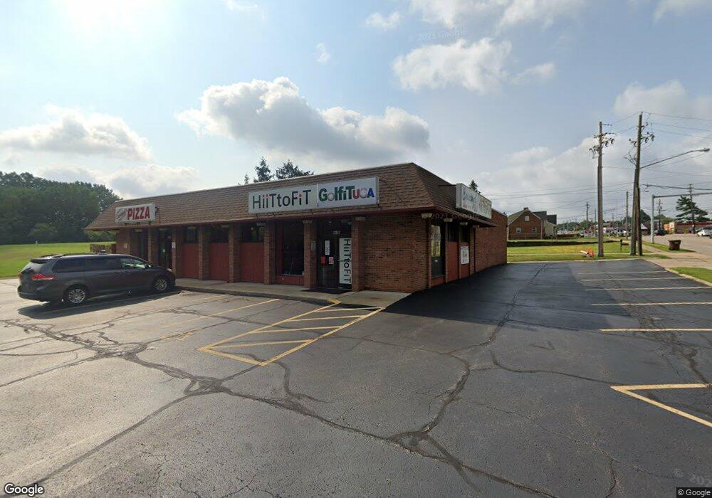
This home is located at 5585 Broadview Rd, Parma, OH 44134 and is currently estimated at $859,558, approximately $264 per square foot. 5585 Broadview Rd is a home located in Cuyahoga County with nearby schools including John Muir Elementary School, Hillside Middle School, and Normandy High School.
Ownership History
Date
Name
Owned For
Owner Type
Purchase Details
Closed on
Mar 22, 2012
Sold by
Crock Real Estate Investments Iii Llc
Bought by
Cmm Enterprises Lc
Current Estimated Value
Home Financials for this Owner
Home Financials are based on the most recent Mortgage that was taken out on this home.
Original Mortgage
$276,000
Interest Rate
3.9%
Mortgage Type
New Conventional
Purchase Details
Closed on
Feb 24, 2012
Sold by
Marthoslah David N and Marthoslah Linda S
Bought by
Crock Real Estate Investments Iii Llc
Home Financials for this Owner
Home Financials are based on the most recent Mortgage that was taken out on this home.
Original Mortgage
$276,000
Interest Rate
3.9%
Mortgage Type
New Conventional
Purchase Details
Closed on
Jan 1, 1984
Bought by
Mathoslah David and Mathoslah Linda S
Create a Home Valuation Report for This Property
The Home Valuation Report is an in-depth analysis detailing your home's value as well as a comparison with similar homes in the area
Home Values in the Area
Average Home Value in this Area
Purchase History
| Date | Buyer | Sale Price | Title Company |
|---|---|---|---|
| Cmm Enterprises Lc | $345,000 | Pvf Title | |
| Crock Real Estate Investments Iii Llc | $166,667 | Public | |
| Mathoslah David | -- | -- |
Source: Public Records
Mortgage History
| Date | Status | Borrower | Loan Amount |
|---|---|---|---|
| Closed | Cmm Enterprises Lc | $276,000 |
Source: Public Records
Tax History
| Year | Tax Paid | Tax Assessment Tax Assessment Total Assessment is a certain percentage of the fair market value that is determined by local assessors to be the total taxable value of land and additions on the property. | Land | Improvement |
|---|---|---|---|---|
| 2025 | $12,226 | $154,070 | $39,480 | $114,590 |
| 2024 | $12,843 | $154,070 | $39,480 | $114,590 |
| 2023 | $10,394 | $121,000 | $39,480 | $81,520 |
| 2022 | $10,372 | $120,995 | $39,480 | $81,515 |
| 2021 | $10,732 | $121,000 | $39,480 | $81,520 |
| 2020 | $11,188 | $121,000 | $39,480 | $81,520 |
| 2019 | $10,934 | $345,700 | $112,800 | $232,900 |
| 2018 | $10,986 | $121,000 | $39,480 | $81,520 |
| 2017 | $11,351 | $120,750 | $41,720 | $79,030 |
| 2016 | $11,280 | $120,750 | $41,720 | $79,030 |
| 2015 | $11,156 | $120,750 | $41,720 | $79,030 |
| 2014 | $11,156 | $121,100 | $47,390 | $73,710 |
Source: Public Records
Map
Nearby Homes
- 5553 Windrush Ct Unit A3F
- 1599 Wexford Ave
- 2442 Fortune Ave
- 2506 Torrington Ave
- 1311 Tuxedo Ave
- 2303 Tuxedo Ave
- 2619 Fortune Ave
- 912 Dawnwood Dr
- 903 North Ave
- 2422 North Ave
- 2717 Tuxedo Ave
- 2819 Tuxedo Ave
- 5085 W 6th St
- 2207 Oaklawn Dr
- 1139 N Skyline Dr
- 1196 N Skyline Dr
- 664 E Dawnwood Dr
- 3018 Russell Ave
- 360 Tuxedo Ave
- 872 E Dawnwood Dr
- 5589 Broadview Rd
- 5556 Sandpiper Dr Unit 293
- 5550 Sandpiper Dr Unit 290
- 5558 Sandpiper Dr
- 5548 Sandpiper Dr
- 5554 Sandpiper Dr
- 5552 Sandpiper Dr
- 5548 Sandpiper Dr Unit 289
- 5558 Sandpiper Dr Unit 299
- 5601 Broadview Rd
- 5611 Broadview Rd
- 5621 Broadview Rd
- 5592 Broadview Rd Unit 107 & 108
- 5592 Broadview Rd Unit 100
- 5592 Broadview Rd Unit 108
- 5592 Broadview Rd Unit 102
- 5592 Broadview Rd Unit 101
- 5568 Pipers Ct
- 5570 Pipers Ct
- 5562 Pipers Ct
Your Personal Tour Guide
Ask me questions while you tour the home.