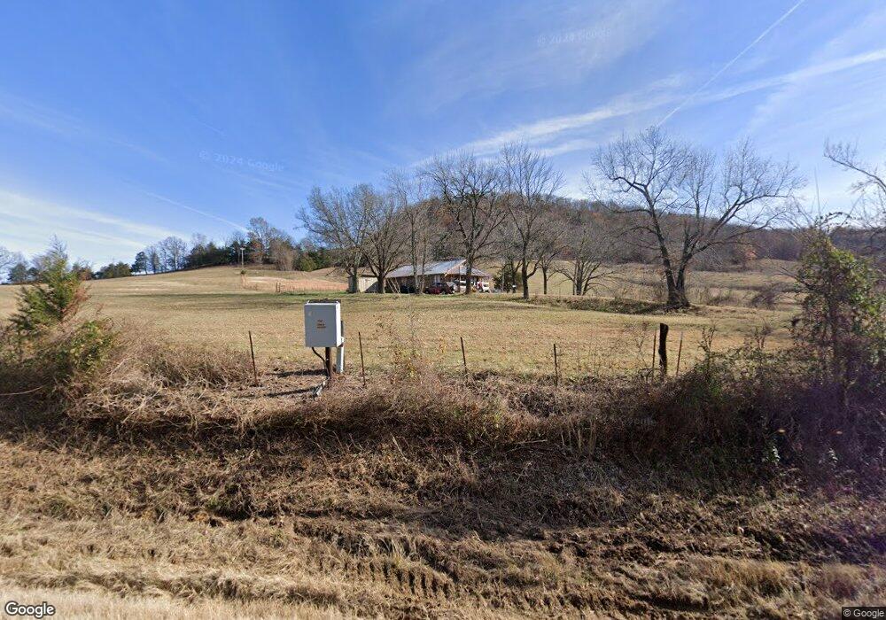
5586 S Highway 27 Marshall, AR 72650
Estimated Value: $68,701 - $228,000
Studio
1
Bath
1,056
Sq Ft
$129/Sq Ft
Est. Value
About This Home
This home is located at 5586 S Highway 27, Marshall, AR 72650 and is currently estimated at $136,425, approximately $129 per square foot. 5586 S Highway 27 is a home located in Searcy County with nearby schools including Marshall Elementary School, Leslie Elementary School, and Marshall High School.
Ownership History
Date
Name
Owned For
Owner Type
Purchase Details
Closed on
May 31, 2024
Sold by
Horton Ronnie G
Bought by
Ronnie G Horton Revocable Trust and Horton
Current Estimated Value
Purchase Details
Closed on
Sep 30, 2005
Sold by
Horton Russell Gene
Bought by
Horton Ronnie G and Horton Stevie J
Home Financials for this Owner
Home Financials are based on the most recent Mortgage that was taken out on this home.
Original Mortgage
$31,000
Interest Rate
5.65%
Purchase Details
Closed on
Apr 8, 2004
Bought by
Horton Russell Gene
Purchase Details
Closed on
Sep 1, 1993
Bought by
Horton Russell Gene and Horton Kristie L
Purchase Details
Closed on
May 1, 1988
Bought by
Horton
Purchase Details
Closed on
Sep 1, 1977
Bought by
Horton
Create a Home Valuation Report for This Property
The Home Valuation Report is an in-depth analysis detailing your home's value as well as a comparison with similar homes in the area
Purchase History
| Date | Buyer | Sale Price | Title Company |
|---|---|---|---|
| Ronnie G Horton Revocable Trust | -- | None Listed On Document | |
| Horton Ronnie G | $32,000 | -- | |
| Horton Russell Gene | -- | -- | |
| Horton Russell Gene | -- | -- | |
| Horton | -- | -- | |
| Horton | -- | -- |
Source: Public Records
Mortgage History
| Date | Status | Borrower | Loan Amount |
|---|---|---|---|
| Previous Owner | Horton Ronnie G | $31,000 |
Source: Public Records
Tax History
| Year | Tax Paid | Tax Assessment Tax Assessment Total Assessment is a certain percentage of the fair market value that is determined by local assessors to be the total taxable value of land and additions on the property. | Land | Improvement |
|---|---|---|---|---|
| 2025 | $336 | $8,440 | $1,600 | $6,840 |
| 2024 | $336 | $8,440 | $1,600 | $6,840 |
| 2023 | $308 | $8,440 | $1,600 | $6,840 |
| 2022 | $308 | $8,440 | $1,600 | $6,840 |
| 2021 | $280 | $5,890 | $1,000 | $4,890 |
| 2020 | $280 | $5,890 | $1,000 | $4,890 |
| 2019 | $298 | $5,890 | $1,000 | $4,890 |
| 2018 | $298 | $5,890 | $1,000 | $4,890 |
| 2017 | $280 | $5,890 | $1,000 | $4,890 |
| 2016 | $274 | $5,890 | $1,000 | $4,890 |
| 2014 | $250 | $5,854 | $1,000 | $4,854 |
Source: Public Records
Map
Nearby Homes
- 1141 Wafted Lane Tract 1
- 1141 Wafted Lane Tract 5
- 1141 Wafted Lane Tract 4
- 1141
- 1141 Wafted Lane Tract 3
- 150 Jack Frost Dr
- 706 N 333 Hwy
- 0 Punkin Flat Rd Unit 25022106
- 0 Punkin Flat Rd Unit 23772165
- 205 Westwood Dr
- 1719 Arkansas 27
- 721 U S 65
- 2040 S Mountain Rd
- 112 Turney Dr
- 603 W Main St
- 000 W Crow Dr Hills
- 2462 Hilltop Rd
- 400 Canaan Rd
- 5497 S Mountain Rd
- 401 E Main St
- 5247 S Highway 27
- 340 Viper Dr
- 0 County Road 272
- 5783 S Highway 27
- 5824 S Highway 27
- 5173 S Highway 27
- 5173 S Highway 27
- 5173 S Hwy 27
- 1982 N Highway 333
- 1161 Wafted Ln
- 1141 Wafted Ln
- 309 Dr
- 676 Wafted Ln
- 743 Wafted Ln
- 4765 S Highway 27
- 00 Co Rd 99
- 450 Wafted Ln
- 4585 S Highway 27
- 374 Wafted Ln
- 0 Wafted Ln Unit 23004543