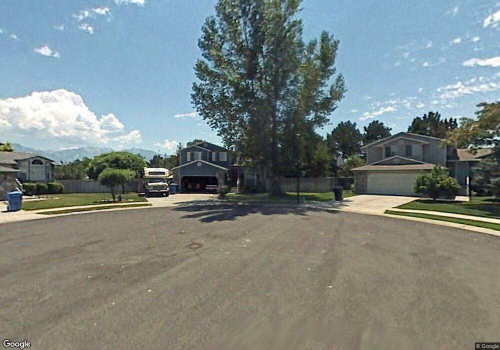
5587 Crosspointe Ct Salt Lake City, UT 84123
Estimated Value: $524,000 - $564,000
5
Beds
3
Baths
1,891
Sq Ft
$288/Sq Ft
Est. Value
About This Home
This home is located at 5587 Crosspointe Ct, Salt Lake City, UT 84123 and is currently estimated at $544,228, approximately $287 per square foot. 5587 Crosspointe Ct is a home located in Salt Lake County with nearby schools including Plymouth Elementary School, Eisenhower Jr High School, and Taylorsville High School.
Ownership History
Date
Name
Owned For
Owner Type
Purchase Details
Closed on
Sep 8, 1994
Sold by
Blair Mark
Bought by
Day Randall N and Day Marilyn E
Current Estimated Value
Home Financials for this Owner
Home Financials are based on the most recent Mortgage that was taken out on this home.
Original Mortgage
$100,000
Interest Rate
8.57%
Mortgage Type
Purchase Money Mortgage
Create a Home Valuation Report for This Property
The Home Valuation Report is an in-depth analysis detailing your home's value as well as a comparison with similar homes in the area
Home Values in the Area
Average Home Value in this Area
Purchase History
| Date | Buyer | Sale Price | Title Company |
|---|---|---|---|
| Day Randall N | -- | -- | |
| Blair Mark | -- | -- |
Source: Public Records
Mortgage History
| Date | Status | Borrower | Loan Amount |
|---|---|---|---|
| Closed | Day Randall N | $100,000 |
Source: Public Records
Tax History Compared to Growth
Tax History
| Year | Tax Paid | Tax Assessment Tax Assessment Total Assessment is a certain percentage of the fair market value that is determined by local assessors to be the total taxable value of land and additions on the property. | Land | Improvement |
|---|---|---|---|---|
| 2025 | $2,920 | $497,300 | $140,200 | $357,100 |
| 2024 | $2,920 | $478,900 | $135,800 | $343,100 |
| 2023 | $2,739 | $440,600 | $126,900 | $313,700 |
| 2022 | $2,765 | $448,600 | $124,400 | $324,200 |
| 2021 | $2,416 | $341,400 | $95,700 | $245,700 |
| 2020 | $2,297 | $307,200 | $88,000 | $219,200 |
| 2019 | $2,325 | $303,600 | $88,000 | $215,600 |
| 2018 | $2,300 | $274,000 | $85,200 | $188,800 |
| 2017 | $1,937 | $256,400 | $85,200 | $171,200 |
| 2016 | $1,800 | $231,500 | $85,200 | $146,300 |
| 2015 | $1,902 | $226,900 | $86,800 | $140,100 |
| 2014 | $1,764 | $214,100 | $82,800 | $131,300 |
Source: Public Records
Map
Nearby Homes
- 5435 S Break Water Dr
- 1334 Portside Way Unit 165
- 1443 W Spinnaker Row Unit 96
- 1273 W Brister Dr
- 5449 S Coastal Ct
- 1380 W Ocean Ct
- 1401 Beacon Hill Dr Unit 118
- 1381 Beacon Hill Dr
- 5920 S 1300 W
- 903 W Bullion St
- 913 W Bullion St Unit 10
- 1193 W Dun Robin Ct
- 5552 Hew Wood Dr
- 6089 Himrod Ct
- 2001 W 5540 S
- Hirst 2 Plan at The Gallery at Bullion - Townhomes
- Caro 2 Plan at The Gallery at Bullion - Townhomes
- Sargent Plan at The Gallery at Bullion - Single Family Homes
- Gomez Plan at The Gallery at Bullion - Single Family Homes
- Dexter Plan at The Gallery at Bullion - Single Family Homes
- 5579 Crosspointe Ct
- 5579 S Crosspointe Ct
- 5586 S Jessieo Way
- 5586 Jessieo Way
- 5586 Crosspointe Ct
- 5584 Majerus Ct
- 5584 S Majerus Ct
- 5587 S Jessieo Way
- 5587 Jessieo Way
- 5571 Crosspointe Ct
- 5582 S Crosspointe Ct
- 5582 Crosspointe Ct
- 5588 Majerus Ct
- 5598 Jessieo Way
- 5588 S Majerus Ct
- 5572 Crosspointe Ct
- 5574 Majerus Ct
- 5611 Crosspark Dr
- 5601 Jessieo Way
- 5601 S Jessieo Way