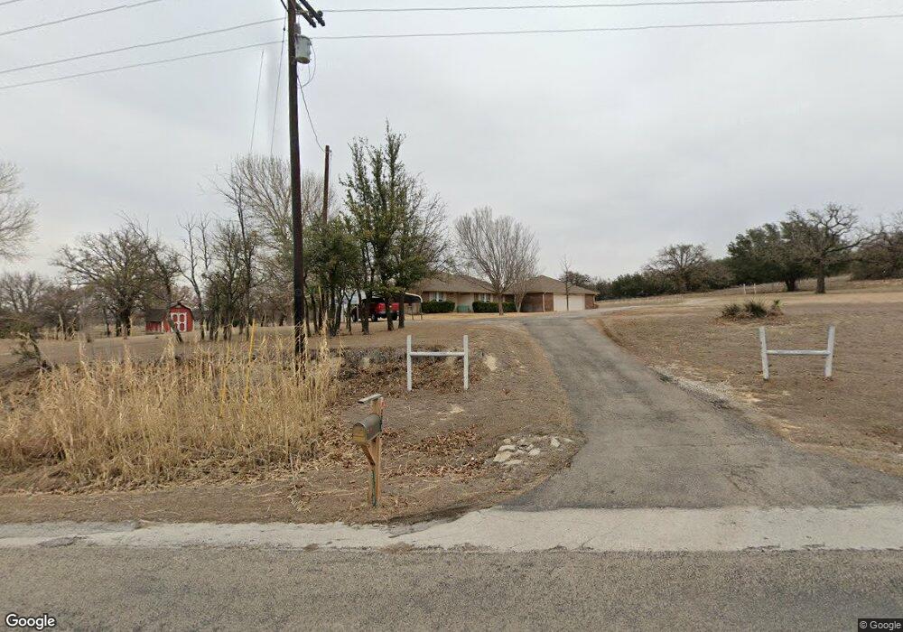
5588 Old Garner Rd Weatherford, TX 76088
Estimated Value: $378,930 - $464,000
--
Bed
--
Bath
1,367
Sq Ft
$312/Sq Ft
Est. Value
About This Home
This home is located at 5588 Old Garner Rd, Weatherford, TX 76088 and is currently estimated at $425,983, approximately $311 per square foot. 5588 Old Garner Rd is a home located in Parker County with nearby schools including Garner Elementary School.
Ownership History
Date
Name
Owned For
Owner Type
Purchase Details
Closed on
Oct 3, 2024
Sold by
Holbrook Albert Dean and Holbrook Judith Stephen
Bought by
Holbrook Robert John and Holbrook James Ward
Current Estimated Value
Purchase Details
Closed on
Apr 4, 1997
Bought by
Holbrook Dean and Holbrook Judy
Purchase Details
Closed on
Jul 12, 1994
Bought by
Holbrook Dean and Holbrook Judy
Purchase Details
Closed on
Mar 20, 1980
Bought by
Holbrook Dean and Holbrook Judy
Create a Home Valuation Report for This Property
The Home Valuation Report is an in-depth analysis detailing your home's value as well as a comparison with similar homes in the area
Home Values in the Area
Average Home Value in this Area
Purchase History
| Date | Buyer | Sale Price | Title Company |
|---|---|---|---|
| Holbrook Robert John | -- | None Listed On Document | |
| Holbrook Dean | -- | -- | |
| Holbrook Dean | -- | -- | |
| Holbrook Dean | -- | -- |
Source: Public Records
Tax History Compared to Growth
Tax History
| Year | Tax Paid | Tax Assessment Tax Assessment Total Assessment is a certain percentage of the fair market value that is determined by local assessors to be the total taxable value of land and additions on the property. | Land | Improvement |
|---|---|---|---|---|
| 2025 | $990 | $371,950 | $139,220 | $232,730 |
| 2024 | $990 | $304,557 | -- | -- |
| 2023 | $990 | $276,870 | $0 | $0 |
| 2022 | $3,919 | $281,640 | $86,620 | $195,020 |
| 2021 | $3,991 | $262,350 | $86,620 | $175,730 |
| 2020 | $3,621 | $208,790 | $62,010 | $146,780 |
| 2019 | $3,517 | $208,790 | $62,010 | $146,780 |
| 2018 | $3,218 | $173,080 | $26,680 | $146,400 |
| 2017 | $2,968 | $173,080 | $26,680 | $146,400 |
| 2016 | $2,698 | $142,080 | $21,450 | $120,630 |
| 2015 | $1,149 | $142,080 | $21,450 | $120,630 |
| 2014 | $1,217 | $122,550 | $26,600 | $95,950 |
Source: Public Records
Map
Nearby Homes
- 1403 N Fm 113
- 990 N Fm 113
- 255 Maddux Rd
- 1020 Turkey Meadows Ln
- 201 Threatt Ln
- 2017 Bedford Ct
- 1511 Cabaniss Ln
- 0 Tbd Old Authon Rd
- 000o Howard Rd
- TBD Old Authon Rd
- 0000 Mineral Wells Hwy
- 10309 Mineral Wells Hwy
- TBD Mineral Wells Hwy
- 990 Doss Rd
- 117 Graystone Dr
- TBD Ballew Springs Rd
- 10669 Mineral Wells Hwy
- 3900 Hott Ln
- 217 Jefferson Way
- Lot 3 Suade Way