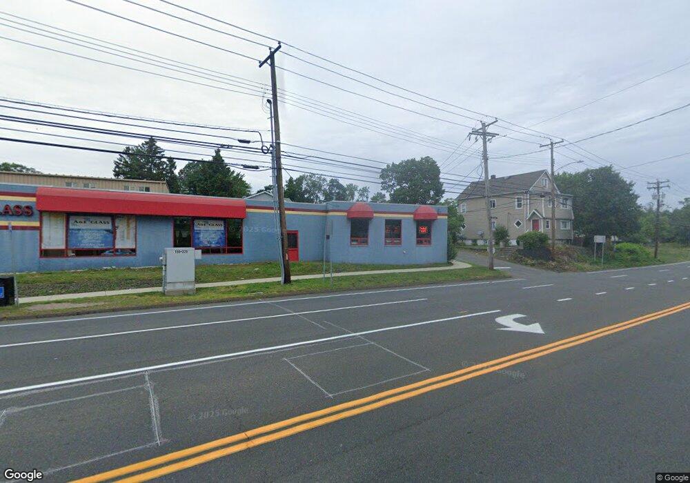
559 Boston Post Rd West Haven, CT 06516
Allingtown Neighborhood
--
Bed
--
Bath
4,262
Sq Ft
0.46
Acres
About This Home
This home is located at 559 Boston Post Rd, West Haven, CT 06516. 559 Boston Post Rd is a home located in New Haven County with nearby schools including Carrigan 5/6 Intermediate School, Harry M. Bailey Middle School, and West Haven High School.
Ownership History
Date
Name
Owned For
Owner Type
Purchase Details
Closed on
Dec 14, 2017
Sold by
Sapienza Arthur
Bought by
4 Rockdale Road Llc
Purchase Details
Closed on
Jan 29, 2003
Sold by
Emc Mtg Corp
Bought by
Bfb Prop Llc
Purchase Details
Closed on
Apr 26, 1995
Sold by
Dan Joint Venture Prop
Bought by
American Glass Co
Purchase Details
Closed on
Dec 1, 1994
Sold by
Ugolik Anthony
Bought by
Dan Joint Venture Prop
Create a Home Valuation Report for This Property
The Home Valuation Report is an in-depth analysis detailing your home's value as well as a comparison with similar homes in the area
Home Values in the Area
Average Home Value in this Area
Purchase History
| Date | Buyer | Sale Price | Title Company |
|---|---|---|---|
| 4 Rockdale Road Llc | -- | -- | |
| Sapienza Arthur | $205,000 | -- | |
| Sapienza Arthur | $205,000 | -- | |
| Bfb Prop Llc | $721,900 | -- | |
| Bfb Prop Llc | $721,900 | -- | |
| American Glass Co | $117,000 | -- | |
| Dan Joint Venture Prop | $125,000 | -- |
Source: Public Records
Mortgage History
| Date | Status | Borrower | Loan Amount |
|---|---|---|---|
| Previous Owner | Dan Joint Venture Prop | $665,000 | |
| Previous Owner | Dan Joint Venture Prop | $400,000 |
Source: Public Records
Tax History Compared to Growth
Tax History
| Year | Tax Paid | Tax Assessment Tax Assessment Total Assessment is a certain percentage of the fair market value that is determined by local assessors to be the total taxable value of land and additions on the property. | Land | Improvement |
|---|---|---|---|---|
| 2025 | $10,489 | $308,420 | $150,990 | $157,430 |
| 2024 | $11,508 | $240,310 | $143,710 | $96,600 |
| 2023 | $11,155 | $240,310 | $143,710 | $96,600 |
| 2022 | $10,961 | $240,310 | $143,710 | $96,600 |
| 2021 | $10,963 | $240,310 | $143,710 | $96,600 |
| 2020 | $11,799 | $229,110 | $140,210 | $88,900 |
| 2019 | $11,616 | $229,110 | $140,210 | $88,900 |
| 2018 | $11,300 | $229,110 | $140,210 | $88,900 |
| 2017 | $10,947 | $229,110 | $140,210 | $88,900 |
| 2016 | $10,615 | $229,110 | $140,210 | $88,900 |
| 2015 | $9,585 | $235,550 | $107,240 | $128,310 |
| 2014 | $9,394 | $235,550 | $107,240 | $128,310 |
Source: Public Records
Map
Nearby Homes
- 60 Andrews St
- 38 Chauncey St
- 81 Homeside Ave
- 0 Burwell & Woodfield Rd Unit 24051262
- 0 Burwell Rd
- 35 Terrace Ave
- 104 Terrace Ave
- 194 Homeside Ave
- 14 Homestead Ave
- 63 Glade St Unit C1
- 29 Birch St
- 78 Nonquit St
- 1014 Campbell Ave Unit 14
- 100 Yates St
- 22 Bristol St
- 941 Campbell Ave
- 65 Westfield St
- 161 W Spring St Unit B2
- 161 W Spring St Unit C1
- 89 Coleman St Unit 213
- 6 Rockdale Rd
- 545 Boston Post Rd
- 506 Orange Ave
- 528 Orange Ave
- 19 Rockdale Rd
- 5 Rockdale Rd
- 14 Rockview St
- 37 Rockdale Rd
- 15 Rockview St
- 540 Boston Post Rd
- 28 Rockdale Rd
- 45 Daytona St
- 38 Rockdale Rd
- 47 Rockdale Rd
- 14 Barbara St
- 34 Rockview St
- 44 Daytona St
- 42 Rockdale Rd
- 50 Daytona St
- 56 Daytona St