559 Caesar Rd Black Hawk, CO 80422
Estimated Value: $476,000 - $523,000
2
Beds
2
Baths
1,360
Sq Ft
$367/Sq Ft
Est. Value
About This Home
This home is located at 559 Caesar Rd, Black Hawk, CO 80422 and is currently estimated at $499,190, approximately $367 per square foot. 559 Caesar Rd is a home located in Gilpin County with nearby schools including Nederland Elementary School and Nederland Middle-Senior High School.
Ownership History
Date
Name
Owned For
Owner Type
Purchase Details
Closed on
Nov 8, 2019
Sold by
Oliphant Ken and Oliphant Kerry
Bought by
Fairhead Spencer J
Current Estimated Value
Home Financials for this Owner
Home Financials are based on the most recent Mortgage that was taken out on this home.
Original Mortgage
$332,368
Outstanding Balance
$292,398
Interest Rate
3.6%
Mortgage Type
FHA
Estimated Equity
$206,792
Purchase Details
Closed on
Jul 30, 2007
Sold by
Christensen Michael and Christensen Amy
Bought by
Deutsche Bank National Trust Company
Create a Home Valuation Report for This Property
The Home Valuation Report is an in-depth analysis detailing your home's value as well as a comparison with similar homes in the area
Purchase History
| Date | Buyer | Sale Price | Title Company |
|---|---|---|---|
| Fairhead Spencer J | $338,500 | First American Mortgage Sln | |
| Deutsche Bank National Trust Company | -- | -- |
Source: Public Records
Mortgage History
| Date | Status | Borrower | Loan Amount |
|---|---|---|---|
| Open | Fairhead Spencer J | $332,368 |
Source: Public Records
Tax History
| Year | Tax Paid | Tax Assessment Tax Assessment Total Assessment is a certain percentage of the fair market value that is determined by local assessors to be the total taxable value of land and additions on the property. | Land | Improvement |
|---|---|---|---|---|
| 2024 | $2,298 | $29,160 | $2,140 | $27,020 |
| 2023 | $1,947 | $29,160 | $2,140 | $27,020 |
| 2022 | $1,698 | $23,250 | $2,090 | $21,160 |
| 2021 | $1,667 | $23,920 | $2,150 | $21,770 |
| 2020 | $1,461 | $20,850 | $2,150 | $18,700 |
| 2019 | $690 | $17,640 | $2,150 | $15,490 |
| 2018 | $975 | $14,510 | $2,160 | $12,350 |
| 2017 | $958 | $14,510 | $2,160 | $12,350 |
| 2016 | $876 | $13,040 | $2,870 | $10,170 |
| 2015 | -- | $13,040 | $2,870 | $10,170 |
| 2014 | -- | $11,550 | $2,870 | $8,680 |
Source: Public Records
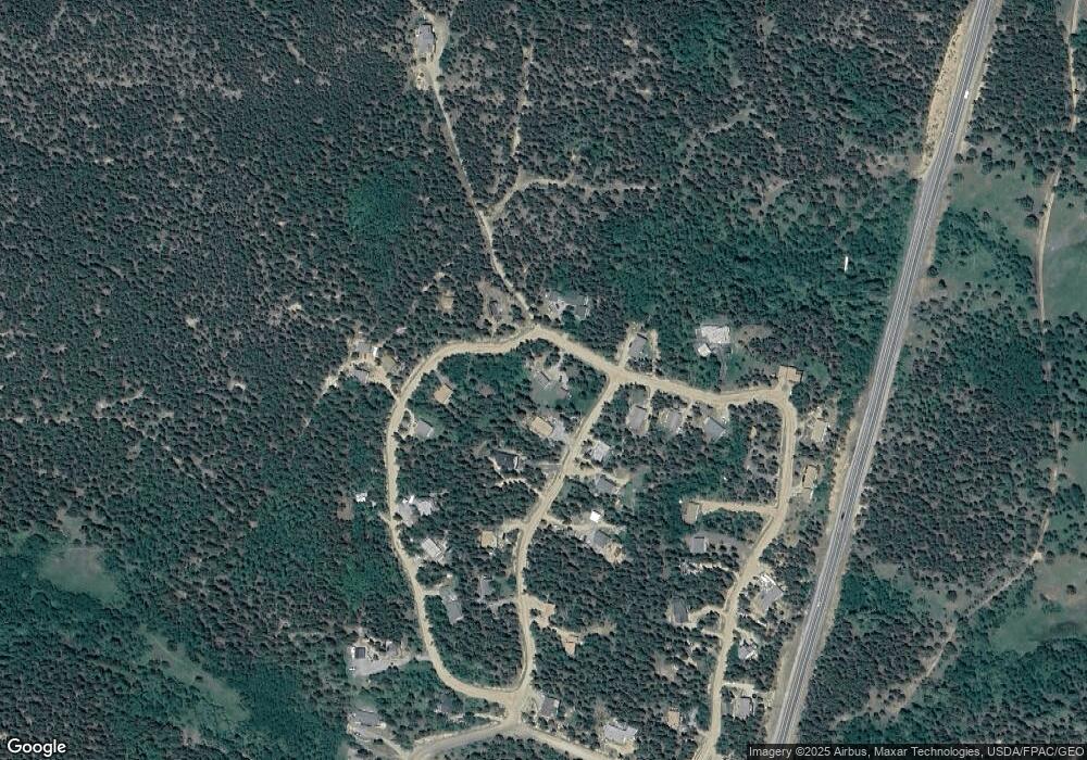
Map
Nearby Homes
- 265 Caesar Rd
- 0 Caesar Rd
- 163 N Dory Lakes Dr
- 634 N Dory Lakes Dr
- 1641 Karlann Dr
- 798 S Dory Lakes Dr
- 83 Peak View Dr
- 001 Peak View Dr Unit R011880
- 50 Rudolph Ranch Rd
- 0 Golden Gate Canyon Rd
- 304 Timber Dr
- 0 Long Trail Rd
- 2979 Coyote Cir
- 001 Hughesville Rd
- 27 Gap Rd
- 220 Timber Rd
- 48 Warren Rd
- 760 Coyote Cir
- 94 Crest View Dr
- 231 Elk Place
Your Personal Tour Guide
Ask me questions while you tour the home.