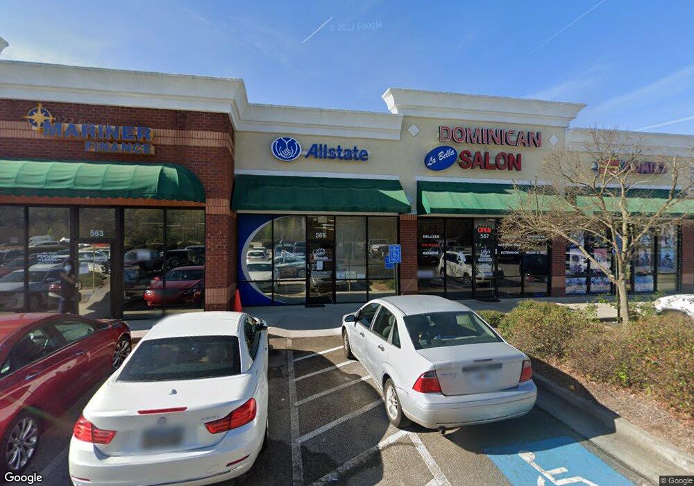
559 Jonesboro Rd McDonough, GA 30253
Estimated Value: $1,988,218
--
Bed
10
Baths
14,607
Sq Ft
$136/Sq Ft
Est. Value
About This Home
This home is located at 559 Jonesboro Rd, McDonough, GA 30253 and is currently estimated at $1,988,218, approximately $136 per square foot. 559 Jonesboro Rd is a home located in Henry County with nearby schools including Wesley Lakes Elementary School, Eagle's Landing Middle School, and Eagle's Landing High School.
Ownership History
Date
Name
Owned For
Owner Type
Purchase Details
Closed on
Jul 25, 2024
Sold by
Djs Properties Llc
Bought by
Noorani Crown Investments Llc
Current Estimated Value
Purchase Details
Closed on
Jul 12, 2006
Sold by
City Sq Stockbridge Llc
Bought by
Djs Prop Llc
Home Financials for this Owner
Home Financials are based on the most recent Mortgage that was taken out on this home.
Original Mortgage
$1,557,500
Interest Rate
6.6%
Mortgage Type
Commercial
Create a Home Valuation Report for This Property
The Home Valuation Report is an in-depth analysis detailing your home's value as well as a comparison with similar homes in the area
Home Values in the Area
Average Home Value in this Area
Purchase History
| Date | Buyer | Sale Price | Title Company |
|---|---|---|---|
| Noorani Crown Investments Llc | $2,022,000 | -- | |
| Noorani Crown Investments Llc | $2,022,000 | -- | |
| Djs Prop Llc | $2,250,000 | -- | |
| Djs Prop Llc | $2,250,000 | -- |
Source: Public Records
Mortgage History
| Date | Status | Borrower | Loan Amount |
|---|---|---|---|
| Previous Owner | Djs Prop Llc | $1,557,500 |
Source: Public Records
Tax History Compared to Growth
Tax History
| Year | Tax Paid | Tax Assessment Tax Assessment Total Assessment is a certain percentage of the fair market value that is determined by local assessors to be the total taxable value of land and additions on the property. | Land | Improvement |
|---|---|---|---|---|
| 2025 | $23,306 | $611,560 | $167,080 | $444,480 |
| 2024 | $23,306 | $599,200 | $167,600 | $431,600 |
| 2023 | $23,071 | $601,920 | $167,600 | $434,320 |
| 2022 | $21,394 | $544,800 | $167,600 | $377,200 |
| 2021 | $18,812 | $467,480 | $167,600 | $299,880 |
| 2020 | $18,901 | $467,480 | $167,600 | $299,880 |
| 2019 | $19,430 | $487,440 | $167,600 | $319,840 |
| 2018 | $18,619 | $447,516 | $167,600 | $279,916 |
| 2016 | $22,104 | $493,960 | $167,600 | $326,360 |
| 2015 | $19,554 | $526,480 | $167,600 | $358,880 |
| 2014 | $22,594 | $529,520 | $167,600 | $361,920 |
Source: Public Records
Map
Nearby Homes
- 0 Jonesboro Rd Unit 10537819
- 1015 Magnolia Gardens Walk
- 1023 Amber Gate Dr
- 60 Micah Dr
- 110 Trailwood Ln
- 1212 Kern Cove
- 659 Monticello Ln
- 615 Leafy Branch Way
- 619 Leafy Branch Way
- 656 Leafy Branch Way
- 604 Way
- 648 Leafy Branch Way
- 660 Leafy Branch Way
- 604 Leafy Branch Way
- 306 Trail Spring Ct Unit /38
- 217 Yardsley Dr
- 612 Leafy Branch Way
- 559 Jonesboro Rd
- 575 Jonesboro Rd
- 445 Magnolia Gardens Walk
- 505 Magnolia Gardens Walk
- 505 Magnolia Gardens Walk Unit 24
- 435 Magnolia Gardens Walk
- 525 Magnolia Gardens Walk
- 425 Magnolia Gardens Walk
- 535 Magnolia Gardens Walk
- 415 Magnolia Gardens Walk
- 405 Magnolia Gardens Walk
- 0 Jonesboro Rd Unit 10471959
- 0 Jonesboro Rd Unit 10352673
- 0 Jonesboro Rd Unit 10352671
- 0 Jonesboro Rd Unit 7369308
- 0 Jonesboro Rd Unit 20143523
- 0 Jonesboro Rd Unit 7292057
- 0 Jonesboro Rd Unit 7443550
- 0 Jonesboro Rd Unit 7621236
- 0 Jonesboro Rd Unit 7331220