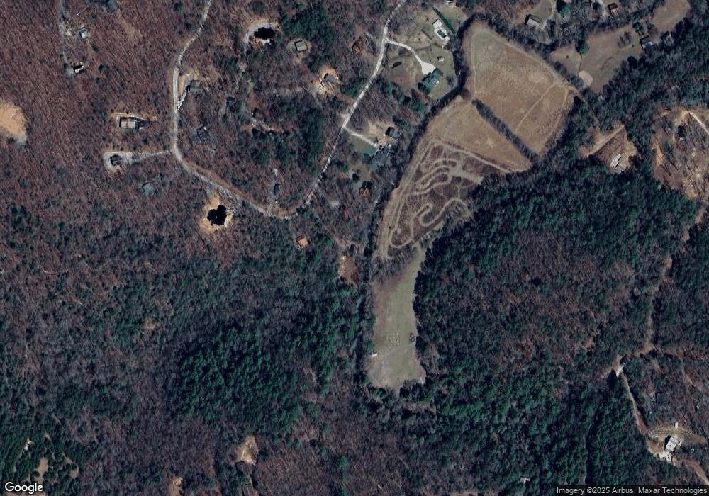
559 Laurel Cir Blue Ridge, GA 30513
Estimated Value: $321,000 - $406,914
--
Bed
1
Bath
964
Sq Ft
$388/Sq Ft
Est. Value
About This Home
This home is located at 559 Laurel Cir, Blue Ridge, GA 30513 and is currently estimated at $373,979, approximately $387 per square foot. 559 Laurel Cir is a home located in Fannin County with nearby schools including Fannin County High School.
Ownership History
Date
Name
Owned For
Owner Type
Purchase Details
Closed on
Jun 14, 2019
Sold by
Wilmington Savings Fund Society Fsb Trus
Bought by
Milander Myles
Current Estimated Value
Purchase Details
Closed on
Jun 7, 2019
Sold by
Milander Myles
Bought by
Milander Investment Holdings Llc
Purchase Details
Closed on
Jan 2, 2019
Sold by
Oneal Dallas Wayland
Bought by
Wilmington Savings Fund Society Fsb
Purchase Details
Closed on
Feb 15, 2002
Sold by
Sisson David S
Bought by
O'Neal Dallas Wayland
Purchase Details
Closed on
Sep 11, 1984
Bought by
Sisson David S
Create a Home Valuation Report for This Property
The Home Valuation Report is an in-depth analysis detailing your home's value as well as a comparison with similar homes in the area
Home Values in the Area
Average Home Value in this Area
Purchase History
| Date | Buyer | Sale Price | Title Company |
|---|---|---|---|
| Milander Myles | $96,000 | -- | |
| Milander Investment Holdings Llc | -- | -- | |
| Wilmington Savings Fund Society Fsb | $94,096 | -- | |
| O'Neal Dallas Wayland | $46,500 | -- | |
| Sisson David S | $8,000 | -- |
Source: Public Records
Tax History Compared to Growth
Tax History
| Year | Tax Paid | Tax Assessment Tax Assessment Total Assessment is a certain percentage of the fair market value that is determined by local assessors to be the total taxable value of land and additions on the property. | Land | Improvement |
|---|---|---|---|---|
| 2025 | $707 | $77,132 | $19,208 | $57,924 |
| 2024 | $707 | $77,132 | $19,208 | $57,924 |
| 2023 | $664 | $65,090 | $19,208 | $45,882 |
| 2022 | $1,211 | $81,810 | $19,208 | $62,602 |
| 2021 | $825 | $58,828 | $19,208 | $39,620 |
| 2020 | $547 | $58,828 | $19,208 | $39,620 |
| 2019 | $855 | $58,828 | $19,208 | $39,620 |
| 2018 | $906 | $58,828 | $19,208 | $39,620 |
| 2017 | $926 | $52,322 | $12,132 | $40,190 |
| 2016 | $724 | $46,205 | $12,015 | $34,190 |
| 2015 | $688 | $40,895 | $14,899 | $25,996 |
| 2014 | $721 | $43,242 | $14,899 | $28,342 |
| 2013 | -- | $38,923 | $14,899 | $24,024 |
Source: Public Records
Map
Nearby Homes
- 30 Laurel Branch
- 750 Laurel Cir
- 78 Brass Hill Rd Unit 146
- 78 Brass Hill Rd
- 31 Highland Hammock Dr
- 9 Quail Hollow
- 344 Cascade Ln
- 201 Plantation Ln
- 60 Sugar Mountain Rd
- 10 Cohutta Overlook Ln
- 384 Mountain Highlands Ct
- 240 Lower Prince Mountain Rd
- 126 Sugar Mountain Rd
- 31 the Kings Ct
- 521 Lower Prince Mountain Rd
- 19 Chestnut Hills Ln
- 587 Lower Prince Mountain Rd
- 99 Chestnut Hills Ln
- 39 Red Bush School Rd
- 620 Price Rd
- 559 Laurel Cir
- 581 Laurel Cir
- 545 Laurel Cir
- 521 Laurel Cir
- 600 Laurel Cir
- 489 Laurel Cir
- 89 Laurel Branch
- LOT A Gibbs Mtn Laurel
- LOT A Gibbs Mtn Laurel Unit TRACT A
- 700 Laurel Cir
- 407 Laurel Cir
- 2338 Chestnut Gap Rd
- 2338 Chestnut Gap Rd
- 70 Laurel Branch
- 691 Laurel Cir Unit 156
- 691 Laurel Cir
- 21 Laurel View Dr
- 21 Laurel View
- 21 Laurel View
- LT155 Laurel Cir
