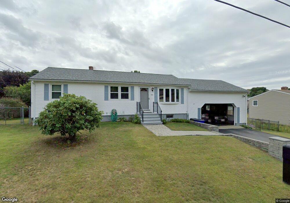
559 Norman St Fall River, MA 02721
Maplewood NeighborhoodEstimated Value: $461,000 - $558,000
3
Beds
3
Baths
2,482
Sq Ft
$208/Sq Ft
Est. Value
About This Home
This home is located at 559 Norman St, Fall River, MA 02721 and is currently estimated at $517,393, approximately $208 per square foot. 559 Norman St is a home located in Bristol County with nearby schools including Letourneau Elementary School, Matthew J. Kuss Middle School, and B M C Durfee High School.
Ownership History
Date
Name
Owned For
Owner Type
Purchase Details
Closed on
Apr 21, 2004
Sold by
T & G Coppinger Irt
Bought by
Medeiros Shirley A
Current Estimated Value
Home Financials for this Owner
Home Financials are based on the most recent Mortgage that was taken out on this home.
Original Mortgage
$237,500
Outstanding Balance
$109,734
Interest Rate
5.4%
Mortgage Type
Purchase Money Mortgage
Estimated Equity
$407,659
Purchase Details
Closed on
Aug 25, 1989
Sold by
Miranda Vincent E
Bought by
Coppinger Timothy
Create a Home Valuation Report for This Property
The Home Valuation Report is an in-depth analysis detailing your home's value as well as a comparison with similar homes in the area
Home Values in the Area
Average Home Value in this Area
Purchase History
| Date | Buyer | Sale Price | Title Company |
|---|---|---|---|
| Medeiros Shirley A | $250,000 | -- | |
| Coppinger Timothy | $150,000 | -- |
Source: Public Records
Mortgage History
| Date | Status | Borrower | Loan Amount |
|---|---|---|---|
| Open | Coppinger Timothy | $237,500 | |
| Previous Owner | Coppinger Timothy | $75,000 | |
| Previous Owner | Coppinger Timothy | $25,000 |
Source: Public Records
Tax History
| Year | Tax Paid | Tax Assessment Tax Assessment Total Assessment is a certain percentage of the fair market value that is determined by local assessors to be the total taxable value of land and additions on the property. | Land | Improvement |
|---|---|---|---|---|
| 2025 | $4,624 | $403,800 | $133,500 | $270,300 |
| 2024 | $4,323 | $376,200 | $128,400 | $247,800 |
| 2023 | $4,409 | $359,300 | $122,200 | $237,100 |
| 2022 | $3,876 | $307,100 | $113,200 | $193,900 |
| 2021 | $3,795 | $274,400 | $113,000 | $161,400 |
| 2020 | $5,233 | $257,400 | $106,700 | $150,700 |
| 2019 | $5,898 | $245,200 | $104,700 | $140,500 |
| 2018 | $3,484 | $238,300 | $104,700 | $133,600 |
| 2017 | $5,123 | $233,100 | $101,700 | $131,400 |
| 2016 | $3,091 | $226,800 | $101,700 | $125,100 |
| 2015 | $3,003 | $229,600 | $101,700 | $127,900 |
| 2014 | $2,888 | $229,600 | $101,700 | $127,900 |
Source: Public Records
Map
Nearby Homes
- 0 Wood St
- 0 Hancock St
- 664 Norman St
- 38 Hummingbird Ln
- 18 Mockingbird Ln
- 21 Nightingale Ln
- 206 Songbird Ln
- 95 Hiatt St
- 84 Lark Ln
- 37 Bluejay St
- 0 Stafford Rd Unit 1393774
- 0 Stafford Rd Unit 73431501
- 186 Spencer St
- 3 Blackbird St
- 0 Sheldon St
- 1082 Hancock St
- 71 Blackbird St
- 185 Stafford Rd
- 495 Chicago St
- 447 Stafford Rd Unit E7
Your Personal Tour Guide
Ask me questions while you tour the home.