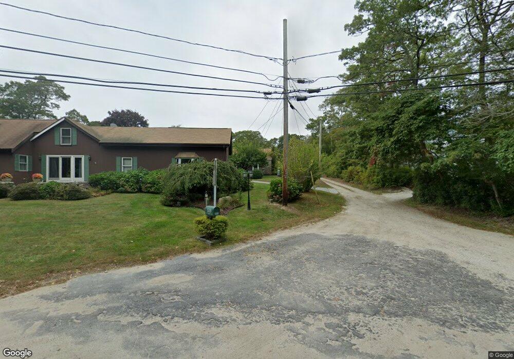
559 Old Harbor Rd Westport, MA 02790
Acoaxet NeighborhoodEstimated Value: $879,000 - $1,864,000
3
Beds
--
Bath
2,015
Sq Ft
$677/Sq Ft
Est. Value
About This Home
This home is located at 559 Old Harbor Rd, Westport, MA 02790 and is currently estimated at $1,365,084, approximately $677 per square foot. 559 Old Harbor Rd is a home located in Bristol County with nearby schools including Alice A. Macomber Primary School, Westport Elementary School, and Westport Middle-High School.
Ownership History
Date
Name
Owned For
Owner Type
Purchase Details
Closed on
Oct 9, 2019
Sold by
Sylvia Oscar M
Bought by
Oscar M Sylvia Jr Irt
Current Estimated Value
Purchase Details
Closed on
Nov 1, 1967
Bought by
Sylvia Oscar M
Create a Home Valuation Report for This Property
The Home Valuation Report is an in-depth analysis detailing your home's value as well as a comparison with similar homes in the area
Home Values in the Area
Average Home Value in this Area
Purchase History
| Date | Buyer | Sale Price | Title Company |
|---|---|---|---|
| Oscar M Sylvia Jr Irt | -- | -- | |
| Sylvia Oscar M | -- | -- |
Source: Public Records
Mortgage History
| Date | Status | Borrower | Loan Amount |
|---|---|---|---|
| Previous Owner | Sylvia Oscar M | $133,000 | |
| Previous Owner | Sylvia Oscar M | $46,733 | |
| Previous Owner | Sylvia Oscar M | $20,371 | |
| Previous Owner | Sylvia Oscar M | $65,000 |
Source: Public Records
Tax History Compared to Growth
Tax History
| Year | Tax Paid | Tax Assessment Tax Assessment Total Assessment is a certain percentage of the fair market value that is determined by local assessors to be the total taxable value of land and additions on the property. | Land | Improvement |
|---|---|---|---|---|
| 2025 | $6,210 | $833,500 | $408,400 | $425,100 |
| 2024 | $6,190 | $800,800 | $382,600 | $418,200 |
| 2023 | $6,209 | $760,900 | $367,100 | $393,800 |
| 2022 | $6,313 | $744,400 | $367,100 | $377,300 |
| 2021 | $5,023 | $582,700 | $278,700 | $304,000 |
| 2020 | $4,835 | $573,500 | $269,500 | $304,000 |
| 2019 | $4,635 | $560,400 | $269,500 | $290,900 |
| 2018 | $4,319 | $528,700 | $255,200 | $273,500 |
| 2017 | $4,383 | $549,900 | $274,000 | $275,900 |
| 2016 | $4,465 | $564,500 | $295,200 | $269,300 |
| 2015 | $4,279 | $539,600 | $276,500 | $263,100 |
Source: Public Records
Map
Nearby Homes
- 19 Seabury Ln
- 255 John Dyer Rd
- 189 Brayton Point Rd
- 245 John Dyer Rd
- 304 Brayton Point Rd
- 505 Long Hwy
- 1749 Main Rd
- 1580 Main Rd
- 17 Quail Trail
- 128 Maple Ave
- 1881 Main Rd
- 116 Amy Hart Path
- 0 Willow Ave
- 18 Old Barn Rd
- 1346 Main Rd Unit B
- 83 Long Hwy
- 141 S Of Commons Rd
- 1702J Drift Rd
- 1702 Drift Rd
- 90 Two Rod Rd
- 1 Mullin Hill Rd Unit 2
- 1 Mullin Hill Rd Unit YEAR ROUND
- 1 Mullen Hill Rd
- 1 Mullen Hill Rd Unit 2
- lot 2 Old Harbor Mullin Hill
- 7 Mullen Hill Rd
- 2 Mullen Hill Rd
- 571 Old Harbor Rd
- 490 Old Harbor Rd
- 572 Old Harbor Rd
- 2 Mullin Hill Rd
- 0 Mullin Hill Rd
- 6 Mullin Hill Rd
- 577 Old Harbor Rd
- 577 Old Harbor Rd Unit 1
- 578 Old Harbor Rd
- 468 Old Harbor Rd
- 10 Mullin Hill Rd
- 597 Old Harbor Rd
- 471 Old Harbor Rd