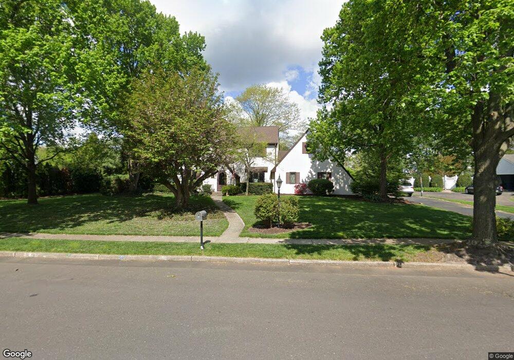
559 Sentinel Rd Moorestown, NJ 08057
Estimated Value: $966,225 - $1,071,000
4
Beds
3
Baths
2,800
Sq Ft
$366/Sq Ft
Est. Value
About This Home
This home is located at 559 Sentinel Rd, Moorestown, NJ 08057 and is currently estimated at $1,025,408, approximately $366 per square foot. 559 Sentinel Rd is a home located in Burlington County with nearby schools including George C. Baker Elementary School, Moorestown Upper Elementary School, and William Allen Middle School.
Ownership History
Date
Name
Owned For
Owner Type
Purchase Details
Closed on
Aug 18, 2002
Sold by
Dibrino James and Dibrino Kathleen B
Bought by
Wagner Leonard M and Richardson Wagner Cheryl L
Current Estimated Value
Home Financials for this Owner
Home Financials are based on the most recent Mortgage that was taken out on this home.
Original Mortgage
$215,000
Outstanding Balance
$89,935
Interest Rate
6.39%
Mortgage Type
Purchase Money Mortgage
Estimated Equity
$935,473
Create a Home Valuation Report for This Property
The Home Valuation Report is an in-depth analysis detailing your home's value as well as a comparison with similar homes in the area
Home Values in the Area
Average Home Value in this Area
Purchase History
| Date | Buyer | Sale Price | Title Company |
|---|---|---|---|
| Wagner Leonard M | $500,000 | Infinity Title Agency Inc |
Source: Public Records
Mortgage History
| Date | Status | Borrower | Loan Amount |
|---|---|---|---|
| Open | Wagner Leonard M | $215,000 |
Source: Public Records
Tax History Compared to Growth
Tax History
| Year | Tax Paid | Tax Assessment Tax Assessment Total Assessment is a certain percentage of the fair market value that is determined by local assessors to be the total taxable value of land and additions on the property. | Land | Improvement |
|---|---|---|---|---|
| 2025 | $14,857 | $523,700 | $240,600 | $283,100 |
| 2024 | $14,407 | $523,700 | $240,600 | $283,100 |
| 2023 | $14,407 | $523,700 | $240,600 | $283,100 |
| 2022 | $9,843 | $519,400 | $0 | $0 |
| 2021 | $13,956 | $519,400 | $0 | $0 |
| 2020 | $9,568 | $519,400 | $0 | $0 |
| 2019 | $9,324 | $523,700 | $240,600 | $283,100 |
| 2018 | $8,955 | $523,700 | $240,600 | $283,100 |
| 2017 | $13,395 | $520,400 | $240,600 | $279,800 |
| 2016 | $13,348 | $520,400 | $240,600 | $279,800 |
| 2015 | $13,187 | $520,400 | $240,600 | $279,800 |
| 2014 | $12,521 | $520,400 | $240,600 | $279,800 |
Source: Public Records
Map
Nearby Homes
- 7 Whitetail Ct
- 628 Windsock Way
- 744 Signal Light Rd
- 693 Garwood Rd
- 863 Golf View Rd
- 415 Bridgeboro Rd
- 57 Brooks Rd
- 5 Murray Rd
- 740 Garwood Rd
- 4327 Bridgeboro Rd
- 97 Brooks Rd
- 347 Tom Brown Rd
- 103 Congressional Ct
- 343 Tom Brown Rd
- 39 Bramley Rd
- 700 Bentley Ct
- 205 E Central Ave
- 110 Kathleen Ave
- 142 Fox Chase Dr
- 408 E 2nd St
- 563 Sentinel Rd
- 600 Windsock Way
- 2 Tyndale Ct
- 604 Windsock Way
- 3 Tyndale Ct
- 565 Sentinel Rd
- 564 Eaglebrook Dr
- 554 Sentinel Rd
- 608 Windsock Way
- 551 Sentinel Rd
- 4 Tyndale Ct
- 568 Sentinel Rd
- 567 Sentinel Rd
- 1 Tyndale Ct
- 560 Eaglebrook Dr
- 550 Sentinel Rd
- 555 Eaglebrook Dr
- 2 Sunset Ct
- 3 Sunset Ct
- 5 Tyndale Ct