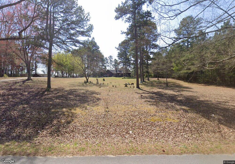
559 Stringer Rd Rockmart, GA 30153
Estimated Value: $298,000 - $383,000
3
Beds
2
Baths
1,922
Sq Ft
$171/Sq Ft
Est. Value
About This Home
This home is located at 559 Stringer Rd, Rockmart, GA 30153 and is currently estimated at $328,802, approximately $171 per square foot. 559 Stringer Rd is a home located in Polk County with nearby schools including Rockmart Middle School.
Ownership History
Date
Name
Owned For
Owner Type
Purchase Details
Closed on
Mar 16, 2000
Sold by
Harper Bobby Joe and Harper Betty C
Bought by
Heck James H and Heck Jody A
Current Estimated Value
Purchase Details
Closed on
Feb 18, 1997
Sold by
Jones Howard W
Bought by
Harper Bobby J
Purchase Details
Closed on
Mar 2, 1995
Sold by
Lindsey W B
Bought by
Cannon Sherry D
Purchase Details
Closed on
Sep 15, 1987
Sold by
Murphy Anne W
Bought by
Lindsey W B
Purchase Details
Closed on
Jul 3, 1984
Sold by
Campbell Billy
Bought by
Murphy Anne W
Purchase Details
Closed on
Jan 1, 1984
Bought by
Campbell Billy
Create a Home Valuation Report for This Property
The Home Valuation Report is an in-depth analysis detailing your home's value as well as a comparison with similar homes in the area
Home Values in the Area
Average Home Value in this Area
Purchase History
| Date | Buyer | Sale Price | Title Company |
|---|---|---|---|
| Heck James H | $175,000 | -- | |
| Harper Bobby J | $120,000 | -- | |
| Harper Bobby J | -- | -- | |
| Cannon Sherry D | -- | -- | |
| Lindsey W B | $107,500 | -- | |
| Murphy Anne W | -- | -- | |
| Campbell Billy | -- | -- |
Source: Public Records
Tax History Compared to Growth
Tax History
| Year | Tax Paid | Tax Assessment Tax Assessment Total Assessment is a certain percentage of the fair market value that is determined by local assessors to be the total taxable value of land and additions on the property. | Land | Improvement |
|---|---|---|---|---|
| 2025 | $2,392 | $122,942 | $34,062 | $88,880 |
| 2024 | $2,392 | $114,426 | $25,546 | $88,880 |
| 2023 | $1,970 | $83,017 | $25,546 | $57,471 |
| 2022 | $1,534 | $66,649 | $17,031 | $49,618 |
| 2021 | $1,554 | $66,649 | $17,031 | $49,618 |
| 2020 | $1,557 | $66,649 | $17,031 | $49,618 |
| 2019 | $1,825 | $69,941 | $17,031 | $52,910 |
| 2018 | $1,881 | $70,261 | $17,031 | $53,230 |
| 2017 | $1,858 | $70,261 | $17,031 | $53,230 |
| 2016 | $1,779 | $67,364 | $14,133 | $53,230 |
| 2015 | $1,801 | $67,972 | $14,133 | $53,838 |
| 2014 | $1,814 | $67,972 | $14,133 | $53,838 |
Source: Public Records
Map
Nearby Homes
- 93 Clay Rd
- 184 Morgan Ln
- 1039 Old Cedartown Rd
- 18 Hillside Dr
- 865 Morgan Valley Rd
- 1907 Old Cedartown Rd
- 107 Main Line Rd
- 0 Tolbert Town Rd Unit 10640593
- 0 Tolbert Town Rd Unit 7678739
- 1714 Cedartown Hwy
- 2020 Old Cedartown Rd
- 11 Lee St
- 92 Autumn Path
- 1211 Bellview Rd
- 831 Government Farm Rd
- 0 Pine Mountain St Unit 10620510
- 0 Pine Mountain St Unit 10620492
- 55 Mcclendon Dr
- 0 Paris Mountain Rd Unit 10295245
- 0 Paris Mountain Rd Unit 7380930
- 527 Stringer Rd
- 596 Stringer Rd
- 606 Stringer Rd
- 493 Stringer Rd
- 618 Stringer Rd
- 665 Stringer Rd
- 460 Stringer Rd
- 504 Stringer Rd
- 683 Stringer Rd
- 433 Stringer Rd
- 548 Stringer Rd
- 432 Stringer Rd
- 417 Stringer Rd
- 706 Stringer Rd
- 604 Lakeview Rd
- 414 Stringer Rd
- 397 Stringer Rd
- 592 Lakeview Rd
- 323 Zuker Rd
- 333 Zuker Rd