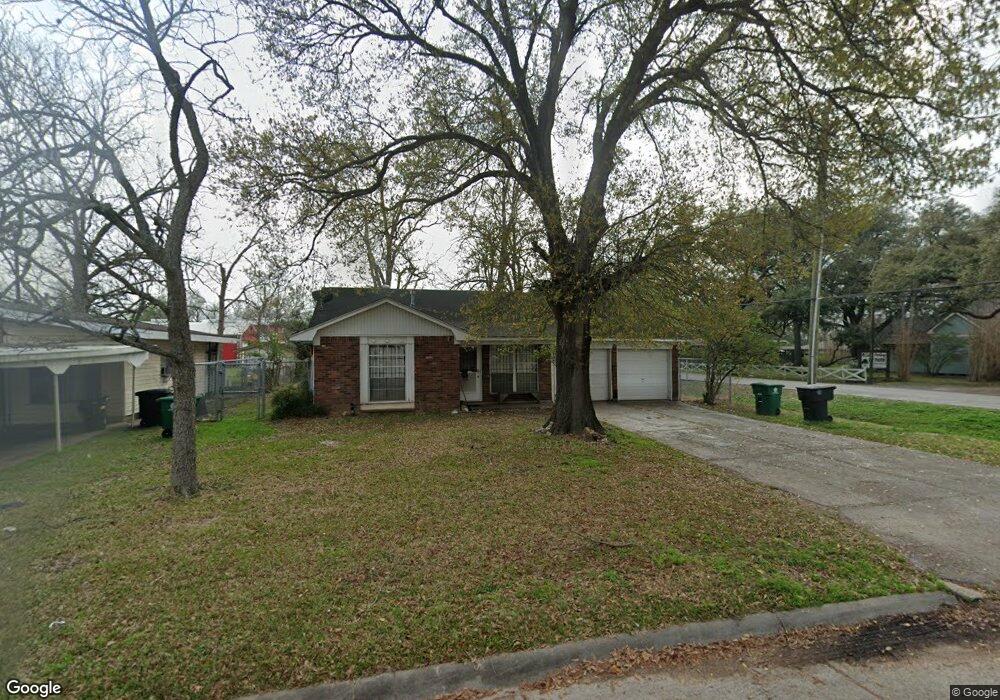
559 W Troy Rd Houston, TX 77091
Northside-Northline NeighborhoodEstimated Value: $199,000 - $245,000
3
Beds
1
Bath
1,228
Sq Ft
$175/Sq Ft
Est. Value
About This Home
This home is located at 559 W Troy Rd, Houston, TX 77091 and is currently estimated at $215,074, approximately $175 per square foot. 559 W Troy Rd is a home located in Harris County with nearby schools including Wesley Elementary School, Williams Middle, and Booker T Washington Sr High.
Ownership History
Date
Name
Owned For
Owner Type
Purchase Details
Closed on
Feb 24, 2017
Sold by
Farmer Elizabeth Jane and Farmer Michael
Bought by
Alvarez Bernardo Salazar
Current Estimated Value
Home Financials for this Owner
Home Financials are based on the most recent Mortgage that was taken out on this home.
Original Mortgage
$62,400
Outstanding Balance
$51,423
Interest Rate
4.12%
Mortgage Type
New Conventional
Estimated Equity
$163,651
Create a Home Valuation Report for This Property
The Home Valuation Report is an in-depth analysis detailing your home's value as well as a comparison with similar homes in the area
Home Values in the Area
Average Home Value in this Area
Purchase History
| Date | Buyer | Sale Price | Title Company |
|---|---|---|---|
| Alvarez Bernardo Salazar | -- | None Available |
Source: Public Records
Mortgage History
| Date | Status | Borrower | Loan Amount |
|---|---|---|---|
| Open | Alvarez Bernardo Salazar | $62,400 |
Source: Public Records
Tax History Compared to Growth
Tax History
| Year | Tax Paid | Tax Assessment Tax Assessment Total Assessment is a certain percentage of the fair market value that is determined by local assessors to be the total taxable value of land and additions on the property. | Land | Improvement |
|---|---|---|---|---|
| 2025 | $4,069 | $194,477 | $75,295 | $119,182 |
| 2024 | $4,069 | $194,477 | $75,295 | $119,182 |
| 2023 | $4,069 | $182,148 | $75,295 | $106,853 |
| 2022 | $2,971 | $134,933 | $52,707 | $82,226 |
| 2021 | $3,068 | $131,642 | $52,707 | $78,935 |
| 2020 | $2,978 | $122,972 | $52,707 | $70,265 |
| 2019 | $2,821 | $111,468 | $37,648 | $73,820 |
| 2018 | $2,330 | $92,061 | $22,589 | $69,472 |
| 2017 | $2,017 | $79,764 | $22,589 | $57,175 |
| 2016 | $2,017 | $79,764 | $22,589 | $57,175 |
| 2015 | $2,050 | $79,764 | $22,589 | $57,175 |
| 2014 | $2,050 | $79,764 | $22,589 | $57,175 |
Source: Public Records
Map
Nearby Homes
- 0 Pickering St
- 6100 Stuebner Airline Rd
- 422 Surratt Dr
- 522 Surratt Dr
- 434 Yale Oaks Ln
- 609 W Parker Rd
- 422 Yale Oaks Ln
- 427 Yale Oaks Ln
- 406 Red Ripple Rd
- 6057 Yale St
- 410 Yale Oaks Ln
- 334 Yale Oaks Ln
- 327 Yale Oaks Ln
- 615 Northew St Unit J
- 615 Northew St Unit K
- 6315 N Shepherd Dr
- 0 Brinkman Unit 54849680
- 6105 Morrow St
- 5736 Stuebner Airline Rd
- 5503 Beall St Unit A
- 555 W Troy Rd
- 551 W Troy Rd
- 558 W Troy Rd
- 554 W Troy Rd
- 547 W Troy Rd
- 6125 Stuebner Airline Rd
- 550 W Troy Rd
- 6121 Stuebner Airline Rd
- 543 W Troy Rd
- 546 W Troy Rd
- 559 W Obion Rd
- 6115 Stuebner Airline Rd
- 555 W Obion Rd
- 542 W Troy Rd
- 539 W Troy Rd
- 551 W Obion Rd
- 547 W Obion Rd
- 538 W Troy Rd
- 535 W Troy Rd
- 543 W Obion Rd