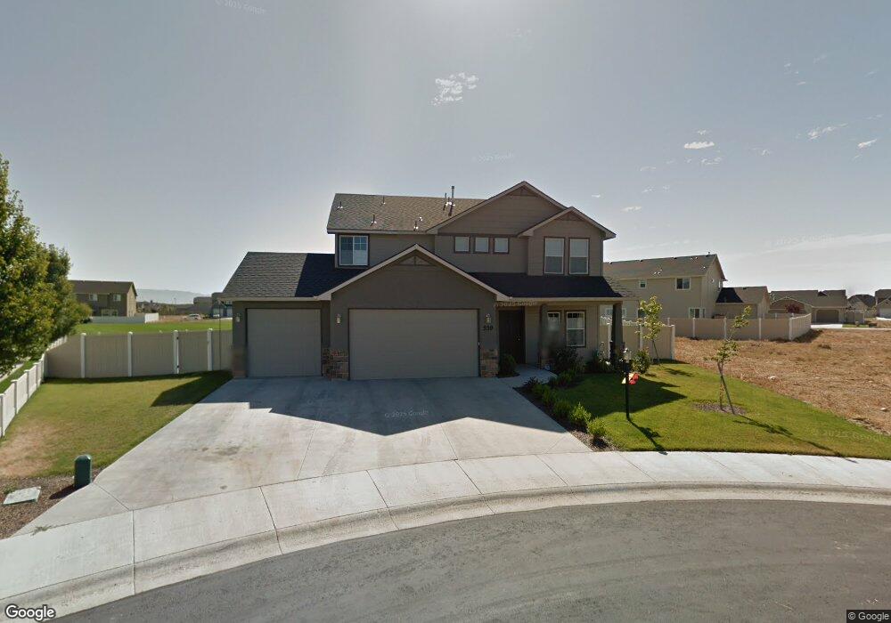
559 W White Sands Ct Meridian, ID 83646
Northwest Meridian NeighborhoodEstimated Value: $592,097 - $644,000
4
Beds
3
Baths
2,467
Sq Ft
$248/Sq Ft
Est. Value
About This Home
This home is located at 559 W White Sands Ct, Meridian, ID 83646 and is currently estimated at $610,774, approximately $247 per square foot. 559 W White Sands Ct is a home located in Ada County with nearby schools including Ponderosa Elementary School, Sawtooth Middle School, and Rocky Mountain High School.
Ownership History
Date
Name
Owned For
Owner Type
Purchase Details
Closed on
Jun 20, 2012
Sold by
Schuldheisz Chrsitine M and Romero Christine M
Bought by
Romero David T
Current Estimated Value
Home Financials for this Owner
Home Financials are based on the most recent Mortgage that was taken out on this home.
Original Mortgage
$192,382
Outstanding Balance
$132,952
Interest Rate
3.77%
Mortgage Type
FHA
Estimated Equity
$477,822
Purchase Details
Closed on
Mar 18, 2010
Sold by
Aspen Homes Inc
Bought by
Romero David T and Romero Christine M
Home Financials for this Owner
Home Financials are based on the most recent Mortgage that was taken out on this home.
Original Mortgage
$196,377
Interest Rate
5%
Mortgage Type
FHA
Create a Home Valuation Report for This Property
The Home Valuation Report is an in-depth analysis detailing your home's value as well as a comparison with similar homes in the area
Home Values in the Area
Average Home Value in this Area
Purchase History
| Date | Buyer | Sale Price | Title Company |
|---|---|---|---|
| Romero David T | -- | Titleone Boise | |
| Romero David T | -- | Titleone Meridian |
Source: Public Records
Mortgage History
| Date | Status | Borrower | Loan Amount |
|---|---|---|---|
| Open | Romero David T | $192,382 | |
| Closed | Romero David T | $196,377 |
Source: Public Records
Tax History Compared to Growth
Tax History
| Year | Tax Paid | Tax Assessment Tax Assessment Total Assessment is a certain percentage of the fair market value that is determined by local assessors to be the total taxable value of land and additions on the property. | Land | Improvement |
|---|---|---|---|---|
| 2025 | $1,958 | $509,800 | -- | -- |
| 2024 | $2,001 | $518,400 | -- | -- |
| 2023 | $2,001 | $497,200 | $0 | $0 |
| 2022 | $2,651 | $624,300 | $0 | $0 |
| 2021 | $2,300 | $449,100 | $0 | $0 |
| 2020 | $2,116 | $353,900 | $0 | $0 |
| 2019 | $2,668 | $346,700 | $0 | $0 |
| 2018 | $2,447 | $309,600 | $0 | $0 |
| 2017 | $2,130 | $272,600 | $0 | $0 |
| 2016 | $2,007 | $251,200 | $0 | $0 |
| 2015 | $1,852 | $236,900 | $0 | $0 |
| 2012 | -- | $186,100 | $0 | $0 |
Source: Public Records
Map
Nearby Homes
- 595 W Great Basin Dr
- 4221 N Elsinore Ave
- 908 E Perjue Basin Dr
- 218 W Wausau St
- 920 E Perjue Basin Dr
- 178 W Lava Falls Dr
- 4175 N Black Canyon Place
- 5705 N Backfire Way
- 967 W Malbar St
- 733 W Ramsbrook St
- 1009 W Malbar St
- 3880 N Greenwich Way
- 110 W Yosemite St
- 3886 N Price Way
- 1041 W Malbar St
- 5603 W Arailia Dr
- 1137 W Malbar St
- 1067 W Yosemite Dr
- 1122 W Tida St
- 1173 W Malbar St
- 581 W White Sands Ct
- 530 W Great Basin Dr
- 570 W White Sands Ct
- 504 W Great Basin Dr
- 558 W Great Basin Dr
- 605 W White Sands Ct
- 592 W White Sands Ct
- 478 W Great Basin Dr
- 582 W Great Basin Dr
- 618 W White Sands Ct
- 591 W Black Rock Dr
- 452 W Great Basin Dr
- 543 W Great Basin Dr
- 615 W Black Rock Dr
- 517 W Great Basin Dr
- 547 W Black Rock Dr
- 569 W Great Basin Dr
- 491 W Great Basin Dr
- 4387 N Portage Ave
- 639 W Black Rock Dr