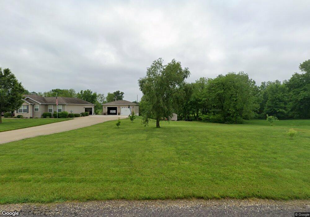
559 Wildcat Creek Ln New Haven, MO 63068
Estimated Value: $295,000 - $357,600
3
Beds
2
Baths
1,305
Sq Ft
$257/Sq Ft
Est. Value
About This Home
This home is located at 559 Wildcat Creek Ln, New Haven, MO 63068 and is currently estimated at $335,867, approximately $257 per square foot. 559 Wildcat Creek Ln is a home located in Franklin County with nearby schools including Franklin County Elementary School.
Ownership History
Date
Name
Owned For
Owner Type
Purchase Details
Closed on
Jul 27, 2011
Sold by
Carlin Jerry and Carlin Angela
Bought by
Menke Gary J and Menke Karen M
Current Estimated Value
Home Financials for this Owner
Home Financials are based on the most recent Mortgage that was taken out on this home.
Original Mortgage
$112,000
Outstanding Balance
$78,537
Interest Rate
5%
Mortgage Type
FHA
Estimated Equity
$257,330
Create a Home Valuation Report for This Property
The Home Valuation Report is an in-depth analysis detailing your home's value as well as a comparison with similar homes in the area
Home Values in the Area
Average Home Value in this Area
Purchase History
| Date | Buyer | Sale Price | Title Company |
|---|---|---|---|
| Menke Gary J | $140,000 | Assured Title Company |
Source: Public Records
Mortgage History
| Date | Status | Borrower | Loan Amount |
|---|---|---|---|
| Open | Menke Gary J | $112,000 |
Source: Public Records
Tax History
| Year | Tax Paid | Tax Assessment Tax Assessment Total Assessment is a certain percentage of the fair market value that is determined by local assessors to be the total taxable value of land and additions on the property. | Land | Improvement |
|---|---|---|---|---|
| 2025 | $1,968 | $40,134 | $0 | $0 |
| 2024 | $1,968 | $33,984 | $0 | $0 |
| 2023 | $1,972 | $33,984 | $0 | $0 |
| 2022 | $2,179 | $39,342 | $0 | $0 |
| 2021 | $2,173 | $39,342 | $0 | $0 |
| 2020 | $1,765 | $32,420 | $0 | $0 |
| 2019 | $1,734 | $32,420 | $0 | $0 |
| 2018 | $1,594 | $29,367 | $0 | $0 |
| 2017 | $1,587 | $29,367 | $0 | $0 |
| 2016 | $1,455 | $26,842 | $0 | $0 |
| 2015 | $1,460 | $26,842 | $0 | $0 |
| 2014 | $1,480 | $27,111 | $0 | $0 |
Source: Public Records
Map
Nearby Homes
- 0 Wildcat Creek Ln
- 2881 Boeuf Lutheran Rd
- 205 Adams Ct
- 108 Arizona St
- 9616 Highway 100
- 120 Emmons St
- 404 Roberta St
- 408 Daniel Ct
- 112 Macarthur St
- 202 Macarthur St
- 402 Daniel Ct
- 411 Daniel Ct
- 117 Macarthur St
- 801 Miller St
- 805 Douglas St
- 112 Bates St
- 913 Maupin Ave
- 915 Maupin Ave
- 1004 Olive St
- 912 Olive St
- 1273 Highway C
- 571 Wildcat Creek Ln
- 539 Wildcat Creek Ln
- 1279 Highway C
- 1251 Highway C
- 1247 Highway C
- 585 Wildcat Creek Ln
- 529 Wildcat Creek Ln
- 1231 Highway C
- 1227 Highway C
- 513 Wildcat Creek Ln
- 1217 Highway C
- 1209 Highway C
- 0 94 5 Acres Highway C
- 501 Wildcat Creek Ln
- 1199 Highway C
- 1191 Highway C
- 1188 Highway C
- 887 Burt Ln
- 1179 Highway C
Your Personal Tour Guide
Ask me questions while you tour the home.