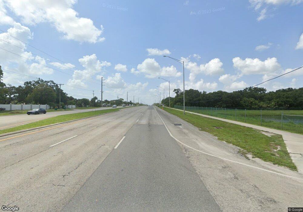
5590 N Highway 1 Palm Shores, FL 32940
Estimated Value: $578,709
--
Bed
--
Bath
1,578
Sq Ft
$367/Sq Ft
Est. Value
About This Home
This home is located at 5590 N Highway 1, Palm Shores, FL 32940 and is currently priced at $578,709, approximately $366 per square foot. 5590 N Highway 1 is a home located in Brevard County with nearby schools including Dr. W.J. Creel Elementary School, Satellite Senior High School, and DeLaura Middle School.
Ownership History
Date
Name
Owned For
Owner Type
Purchase Details
Closed on
Nov 3, 2021
Sold by
Williams Brent C
Bought by
Maher Mark J
Current Estimated Value
Purchase Details
Closed on
Nov 9, 2017
Sold by
Pineda Enterprises Of Brevard Llc
Bought by
Pineda Enterprises Of Brevard
Purchase Details
Closed on
Apr 5, 2010
Sold by
Priceco Trading Inc
Bought by
Pineda Condos L L C
Purchase Details
Closed on
May 21, 2003
Sold by
Elliott Walter H and Elliott Eileen O
Bought by
Priceco Trading Inc
Home Financials for this Owner
Home Financials are based on the most recent Mortgage that was taken out on this home.
Original Mortgage
$250,000
Interest Rate
7.5%
Mortgage Type
Purchase Money Mortgage
Create a Home Valuation Report for This Property
The Home Valuation Report is an in-depth analysis detailing your home's value as well as a comparison with similar homes in the area
Home Values in the Area
Average Home Value in this Area
Purchase History
| Date | Buyer | Sale Price | Title Company |
|---|---|---|---|
| Maher Mark J | $266,000 | Attorney | |
| Pineda Enterprises Of Brevard | -- | Supreme Title Closing Llc | |
| Pineda Condos L L C | $190,000 | Supreme Title Closings Llc | |
| Priceco Trading Inc | $300,000 | Alliance Title Brevard Llc |
Source: Public Records
Mortgage History
| Date | Status | Borrower | Loan Amount |
|---|---|---|---|
| Previous Owner | Priceco Trading Inc | $250,000 |
Source: Public Records
Tax History Compared to Growth
Tax History
| Year | Tax Paid | Tax Assessment Tax Assessment Total Assessment is a certain percentage of the fair market value that is determined by local assessors to be the total taxable value of land and additions on the property. | Land | Improvement |
|---|---|---|---|---|
| 2025 | $19,742 | $713,000 | -- | -- |
| 2024 | $9,465 | $1,590,310 | -- | -- |
| 2023 | $9,465 | $703,860 | $611,350 | $92,510 |
| 2022 | $9,090 | $705,740 | $0 | $0 |
| 2021 | $11,965 | $827,560 | $611,350 | $216,210 |
| 2020 | $12,124 | $836,630 | $611,350 | $225,280 |
| 2019 | $12,353 | $827,920 | $611,350 | $216,570 |
| 2018 | $4,038 | $234,660 | $209,520 | $25,140 |
| 2017 | $3,738 | $205,000 | $0 | $205,000 |
| 2016 | $3,791 | $200,000 | $0 | $0 |
| 2015 | $3,633 | $180,000 | $150,350 | $29,650 |
| 2014 | $3,606 | $175,000 | $150,350 | $24,650 |
Source: Public Records
Map
Nearby Homes
- 2440 Inga Way
- 2391 Okalani St
- 2451 Okalani St
- 4919 Erin Ln
- 4954 Erin Ln
- 4850 Erin Ln
- 4983 Erin Ln
- 6285 N Highway 1
- 4942 Rosewood Ln
- 3401 Deer Lakes Dr
- 6301 Portofino Ln
- 3220 Cappannelle Dr
- 6045 Annelo Dr
- 3240 Cappannelle Dr
- 3250 Cappannelle Dr
- 3260 Cappannelle Dr
- 2618 Aston Cir
- 5790 Sheffield Place
- 3320 Cappannelle Dr
- 3023 Casare Dr
- 5590 U S 1 Unit 801A
- 5590 U S 1 Unit 802
- 5590 U S 1
- 5590 N Highway 1
- 5600 N Us Highway 1
- 5565 U S 1
- 0 N Us Highway 1
- 5565 N Highway 1 N
- 5565 N Highway 1
- 5560 N Highway 1
- 5560 N Highway 1 N
- 2515 Roberts Rd
- 2525 Roberts Rd
- 5520 N Harbor City Blvd
- 5520 N Highway 1
- 5520 N US Highway 1
- 5555 N Highway 1
- 5480 N Highway 1
- 5480 N Highway 1
- 5700 N Highway 1 Unit 400
