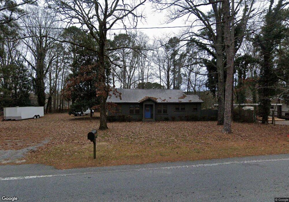
5591 Due West Rd Powder Springs, GA 30127
West Cobb NeighborhoodEstimated Value: $266,627 - $361,000
2
Beds
1
Bath
1,106
Sq Ft
$293/Sq Ft
Est. Value
About This Home
This home is located at 5591 Due West Rd, Powder Springs, GA 30127 and is currently estimated at $324,157, approximately $293 per square foot. 5591 Due West Rd is a home located in Cobb County with nearby schools including Vaughan Elementary School, Lost Mountain Middle School, and Harrison High School.
Ownership History
Date
Name
Owned For
Owner Type
Purchase Details
Closed on
Jul 3, 1997
Sold by
Armstrong Donald
Bought by
Mcdonald Thomas J
Current Estimated Value
Home Financials for this Owner
Home Financials are based on the most recent Mortgage that was taken out on this home.
Original Mortgage
$29,000
Outstanding Balance
$4,150
Interest Rate
7.98%
Estimated Equity
$320,007
Create a Home Valuation Report for This Property
The Home Valuation Report is an in-depth analysis detailing your home's value as well as a comparison with similar homes in the area
Home Values in the Area
Average Home Value in this Area
Purchase History
| Date | Buyer | Sale Price | Title Company |
|---|---|---|---|
| Mcdonald Thomas J | $41,000 | -- |
Source: Public Records
Mortgage History
| Date | Status | Borrower | Loan Amount |
|---|---|---|---|
| Open | Mcdonald Thomas J | $29,000 |
Source: Public Records
Tax History Compared to Growth
Tax History
| Year | Tax Paid | Tax Assessment Tax Assessment Total Assessment is a certain percentage of the fair market value that is determined by local assessors to be the total taxable value of land and additions on the property. | Land | Improvement |
|---|---|---|---|---|
| 2025 | $346 | $79,296 | $45,312 | $33,984 |
| 2024 | $348 | $79,296 | $45,312 | $33,984 |
| 2023 | $159 | $71,200 | $42,240 | $28,960 |
| 2022 | $286 | $58,576 | $33,792 | $24,784 |
| 2021 | $286 | $58,576 | $33,792 | $24,784 |
| 2020 | $258 | $49,260 | $27,648 | $21,612 |
| 2019 | $258 | $49,260 | $27,648 | $21,612 |
| 2018 | $247 | $45,624 | $25,344 | $20,280 |
| 2017 | $229 | $45,624 | $25,344 | $20,280 |
| 2016 | $216 | $40,248 | $19,968 | $20,280 |
| 2015 | $207 | $33,128 | $19,200 | $13,928 |
| 2014 | $211 | $33,128 | $0 | $0 |
Source: Public Records
Map
Nearby Homes
- 632 Owl Creek Dr
- 265 Holland Rd
- The Sadie Plan at Livingstone Park
- The Carie Plan at Livingstone Park
- The Cameron Plan at Livingstone Park
- The Melissa Plan at Livingstone Park
- The Whitney Plan at Livingstone Park
- 718 1st Cotton Dr
- 5567 Forest Edge Ln NW
- 776 Amos Ln
- 826 Omaha Place
- 403 Wild Iris Ln Unit 6
- 870 Fairwood Pointe NW
- 5570 Fords Crossing Ct NW
- 5882 Grandview Ct NW
- 5900 Pavillion Dr
- 6049 Braidwood Close NW Unit 5
- 390 Scott Farm Dr
- 5725 Fairwood Dr NW
- 5601 Due West Rd
- 5601 Due Rd W
- 766 Jackson Miller Cir
- 5510 Corn Mill Ln
- 5514 Corn Mill Ln
- 770 Jackson Miller Cir
- 5512 Corn Mill Ln Unit 1
- 673 Owl Creek Ct Unit 1
- 762 Jackson Miller Cir
- 774 Jackson Miller Cir
- 774 Jackson Miller Cir
- 5609 Due Rd W
- 5508 Corn Mill Ln Unit 1
- 5516 Corn Mill Ln
- 5516 Corn Mill Ln
- 5516 Corn Mill Ln Unit N/A
- 758 Jackson Miller Cir
- 671 Owl Creek Ct
- 778 Jackson Miller Cir
- 754 Jackson Miller Cir