5592 Butternut St Newaygo, MI 49337
Estimated Value: $203,000 - $267,000
2
Beds
1
Bath
936
Sq Ft
$238/Sq Ft
Est. Value
About This Home
This home is located at 5592 Butternut St, Newaygo, MI 49337 and is currently estimated at $222,980, approximately $238 per square foot. 5592 Butternut St is a home located in Newaygo County with nearby schools including Vera Wilsie Elementary School, Newaygo Elementary School, and Newaygo Middle School.
Ownership History
Date
Name
Owned For
Owner Type
Purchase Details
Closed on
Aug 27, 2018
Sold by
Newell Barbara T
Bought by
Gates Anthony E
Current Estimated Value
Home Financials for this Owner
Home Financials are based on the most recent Mortgage that was taken out on this home.
Original Mortgage
$80,000
Outstanding Balance
$47,034
Interest Rate
4.5%
Mortgage Type
Purchase Money Mortgage
Estimated Equity
$175,946
Purchase Details
Closed on
Dec 8, 2006
Sold by
Newell Barbara T
Bought by
Gates Anthony E
Create a Home Valuation Report for This Property
The Home Valuation Report is an in-depth analysis detailing your home's value as well as a comparison with similar homes in the area
Purchase History
| Date | Buyer | Sale Price | Title Company |
|---|---|---|---|
| Gates Anthony E | $117,000 | -- | |
| Gates Anthony E | -- | -- |
Source: Public Records
Mortgage History
| Date | Status | Borrower | Loan Amount |
|---|---|---|---|
| Open | Gates Anthony E | $80,000 |
Source: Public Records
Tax History
| Year | Tax Paid | Tax Assessment Tax Assessment Total Assessment is a certain percentage of the fair market value that is determined by local assessors to be the total taxable value of land and additions on the property. | Land | Improvement |
|---|---|---|---|---|
| 2025 | $929 | $101,300 | $0 | $0 |
| 2024 | $9 | $76,700 | $0 | $0 |
| 2023 | $864 | $73,700 | $0 | $0 |
| 2022 | $1,499 | $70,100 | $0 | $0 |
| 2021 | $1,459 | $67,200 | $0 | $0 |
| 2020 | $1,473 | $65,400 | $0 | $0 |
| 2019 | $1,477 | $57,100 | $0 | $0 |
| 2018 | $1,481 | $55,700 | $0 | $0 |
| 2017 | $1,453 | $56,000 | $0 | $0 |
| 2016 | $1,421 | $46,700 | $0 | $0 |
| 2015 | -- | $46,600 | $0 | $0 |
| 2014 | -- | $45,200 | $0 | $0 |
Source: Public Records
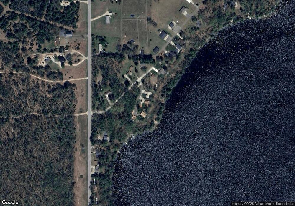
Map
Nearby Homes
- 5450 Pear Ave
- 5710 Pear Ave
- 5752 E 52nd St
- 6175 Lake Shore Dr
- 6306 E Carrigan Dr
- 5892 S Carrigan Dr
- 5557 Front St
- 4468 Teal Ln
- 5558 King St
- 4695 Miramar Ave
- 6716 Chapman Ave
- 6830 E Carrigan Dr
- 6185 E Dave St
- 4997 S Croton Hardy Dr
- 4987 E Manitou Way Unit 37
- 7901 S Potawatomi Unit 56
- 6771 E 4 Seasons Dr
- 3696 S Locust Ave
- 5900 E 36th St
- 5007 E Manitou Way Unit 36
- 5576 Butternut St
- 5576 Butternut St
- 5598 Butternut St
- 5608 Butternut St
- 5560 Butternut St
- 5612 Butternut St
- 5565 Butternut St
- 5556 Butternut St
- 5550 Butternut St
- 5583 Butternut St
- 5281 Woodside Dr
- 5634 Pear Ave
- 5330 Woodside Dr
- 5344 Woodside Dr
- 5362 Woodside Dr
- 5656 Pear Ave
- 5520 Pear Ave
- 5676 Pear Ave
- 3282 E 128th St
- 5694 Pear Ave
Your Personal Tour Guide
Ask me questions while you tour the home.