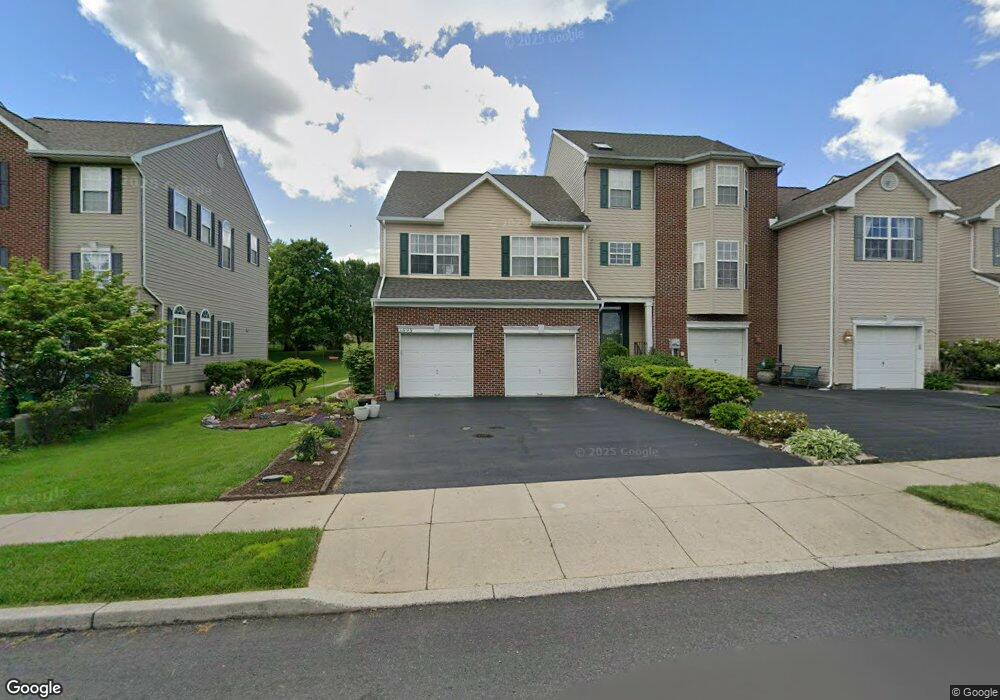
5595 Spring Ridge Dr W Macungie, PA 18062
Lower Macungie Township East NeighborhoodEstimated Value: $417,000 - $434,516
3
Beds
3
Baths
2,364
Sq Ft
$180/Sq Ft
Est. Value
About This Home
This home is located at 5595 Spring Ridge Dr W, Macungie, PA 18062 and is currently estimated at $425,879, approximately $180 per square foot. 5595 Spring Ridge Dr W is a home located in Lehigh County with nearby schools including Willow Lane Elementary School, Eyer Middle School, and Emmaus High School.
Ownership History
Date
Name
Owned For
Owner Type
Purchase Details
Closed on
Mar 25, 2005
Sold by
Spring Ridge Crossing Llc
Bought by
Fried Charles D and Fried Marietta A
Current Estimated Value
Home Financials for this Owner
Home Financials are based on the most recent Mortgage that was taken out on this home.
Original Mortgage
$200,900
Interest Rate
5.95%
Mortgage Type
Credit Line Revolving
Create a Home Valuation Report for This Property
The Home Valuation Report is an in-depth analysis detailing your home's value as well as a comparison with similar homes in the area
Home Values in the Area
Average Home Value in this Area
Purchase History
| Date | Buyer | Sale Price | Title Company |
|---|---|---|---|
| Fried Charles D | $212,358 | Commonwealth Land Title Ins |
Source: Public Records
Mortgage History
| Date | Status | Borrower | Loan Amount |
|---|---|---|---|
| Previous Owner | Fried Charles D | $200,900 |
Source: Public Records
Tax History Compared to Growth
Tax History
| Year | Tax Paid | Tax Assessment Tax Assessment Total Assessment is a certain percentage of the fair market value that is determined by local assessors to be the total taxable value of land and additions on the property. | Land | Improvement |
|---|---|---|---|---|
| 2025 | $5,816 | $227,800 | $21,600 | $206,200 |
| 2024 | $5,627 | $227,800 | $21,600 | $206,200 |
| 2023 | $5,514 | $227,800 | $21,600 | $206,200 |
| 2022 | $5,384 | $227,800 | $206,200 | $21,600 |
| 2021 | $5,269 | $227,800 | $21,600 | $206,200 |
| 2020 | $5,219 | $227,800 | $21,600 | $206,200 |
| 2019 | $5,130 | $227,800 | $21,600 | $206,200 |
| 2018 | $5,063 | $227,800 | $21,600 | $206,200 |
| 2017 | $4,974 | $227,800 | $21,600 | $206,200 |
| 2016 | -- | $227,800 | $21,600 | $206,200 |
| 2015 | -- | $227,800 | $21,600 | $206,200 |
| 2014 | -- | $227,800 | $21,600 | $206,200 |
Source: Public Records
Map
Nearby Homes
- 2691 Terrwood Dr W Unit 176
- 2173 Brookside Rd
- 4762 Steeplechase Dr Unit 13C
- 5706 Whitemarsh Dr
- 2560 Gracie Lone
- 5175 Meadowview Dr
- 2518 Stanford Cir
- 2969 Aronimink Place
- 4804 Parkview Dr S
- 2992 Aronimink Place
- 2570 Millbrook Dr
- 1991 Autumn Ridge Rd
- 2878 Whitemarsh Place
- 2056 Autumn Ridge Rd
- 6022 Eli Cir
- 2834 Sheffield Dr
- 2756 Springhaven Place
- 2796 Springhaven Place
- 2777 Springhaven Place
- 2041 Gregory Dr
- 5591 Spring Ridge Dr W
- 5599 Spring Ridge Dr W
- 5587 Spring Ridge Dr W
- 5603 Spring Ridge Dr W
- 5607 Spring Ridge Dr W
- 5583 Spring Ridge Dr W
- 5611 Spring Ridge Dr W
- 5615 Spring Ridge Dr W
- 5619 Spring Ridge Dr W
- 5575 Spring Ridge Dr W
- 5623 Spring Ridge Dr W
- 5571 Spring Ridge Dr W
- 5567 Spring Ridge Dr W
- 5277 Dartmouth Dr
- 5269 Dartmouth Dr
- 5563 Spring Ridge Dr W
- 5261 Dartmouth Dr
- 5293 Dartmouth Dr
- 5301 Dartmouth Dr Unit 53
- 5301 Dartmouth Dr