5597 Highway 52 E Dahlonega, GA 30533
Estimated Value: $419,403 - $457,000
--
Bed
1
Bath
1,380
Sq Ft
$314/Sq Ft
Est. Value
About This Home
This home is located at 5597 Highway 52 E, Dahlonega, GA 30533 and is currently estimated at $432,801, approximately $313 per square foot. 5597 Highway 52 E is a home located in Lumpkin County with nearby schools including Clay County Middle School and Lumpkin County High School.
Ownership History
Date
Name
Owned For
Owner Type
Purchase Details
Closed on
Aug 30, 2021
Sold by
Gunter Bobby R
Bought by
Hayman James and Mcgarity Elizabeth Paige
Current Estimated Value
Purchase Details
Closed on
Jan 13, 2016
Sold by
White Gail
Bought by
White Courtney
Purchase Details
Closed on
Sep 28, 2005
Sold by
Carder Jo D
Bought by
White Gail
Purchase Details
Closed on
Sep 1, 1980
Bought by
Carder Jo D
Create a Home Valuation Report for This Property
The Home Valuation Report is an in-depth analysis detailing your home's value as well as a comparison with similar homes in the area
Home Values in the Area
Average Home Value in this Area
Purchase History
| Date | Buyer | Sale Price | Title Company |
|---|---|---|---|
| Hayman James | $581,990 | -- | |
| White Courtney | -- | -- | |
| White Gail | -- | -- | |
| Carder Jo D | -- | -- |
Source: Public Records
Tax History Compared to Growth
Tax History
| Year | Tax Paid | Tax Assessment Tax Assessment Total Assessment is a certain percentage of the fair market value that is determined by local assessors to be the total taxable value of land and additions on the property. | Land | Improvement |
|---|---|---|---|---|
| 2024 | $2,800 | $175,783 | $63,446 | $112,337 |
| 2023 | $2,240 | $159,007 | $53,481 | $105,526 |
| 2022 | $2,401 | $135,230 | $44,569 | $90,661 |
| 2021 | $2,102 | $120,489 | $44,569 | $75,920 |
| 2020 | $2,113 | $116,883 | $42,707 | $74,176 |
| 2019 | $2,129 | $116,883 | $42,707 | $74,176 |
| 2018 | $2,083 | $110,418 | $42,707 | $67,711 |
| 2017 | $2,019 | $106,907 | $42,707 | $64,200 |
| 2016 | $527 | $52,858 | $42,707 | $10,151 |
| 2015 | $367 | $52,859 | $42,708 | $10,151 |
| 2014 | $367 | $53,073 | $42,708 | $10,366 |
| 2013 | -- | $53,502 | $42,707 | $10,794 |
Source: Public Records
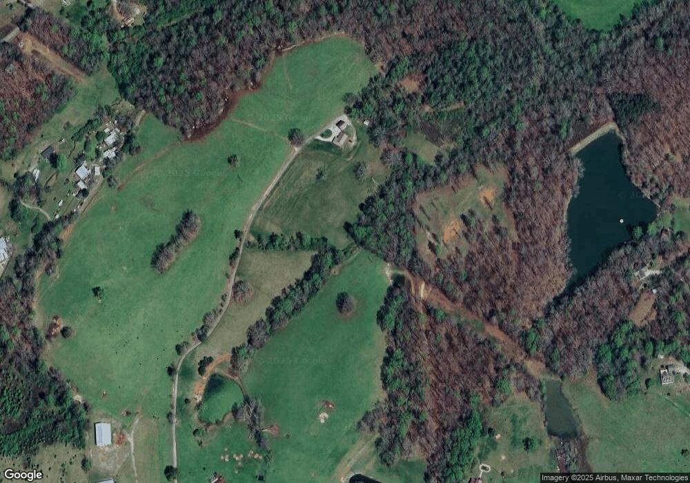
Map
Nearby Homes
- 87 Tolleffs Trail
- 260 Holly Ln
- 128 Young Deer Dr
- 6480 Highway 52 W
- 94 King Arthur Ct
- 380 Copper Mill Rd
- 202 Indian Trail
- 238 Sunrise Trail
- 100 Rocky Branch Dr
- 600 Chapman Ridge Ln
- 500 Chapman Ridge Ln
- 27.68 Chapman Ridge Ln
- 1228 Winters Mountain Rd
- 0 Arborwood Dr Unit 10645890
- 0 Bearden Rd Unit 10598024
- 0 Bearden Rd Unit 7642996
- 5575 Highway 52 E
- 5641 Highway 52 E
- 5525 Highway 52 E
- 9 Etula
- 0 Old Dahlonega Hwy
- 0 Old Dahlonega Hwy Unit 7268726
- 0 Old Dahlonega Hwy Unit 8989444
- 0 Old Dahlonega Hwy Unit 8102304
- 0 Old Dahlonega Hwy Unit 8789190
- 0 Old Dahlonega Hwy Unit 8289564
- 0 Old Dahlonega Hwy Unit 8332184
- 0 Old Dahlonega Hwy Unit 8466966
- 0 Old Dahlonega Hwy Unit 8796162
- 0 Old Dahlonega Hwy Unit 8870646
- 0 Old Dahlonega Hwy Unit 3094203
- 0 Old Dahlonega Hwy Unit 7243662
- 0 Old Dahlonega Hwy Unit 7470943
- 0 Old Dahlonega Hwy Unit 7524699
- 0 Old Dahlonega Hwy Unit 8113781
- 0 Old Dahlonega Hwy Unit 8373588