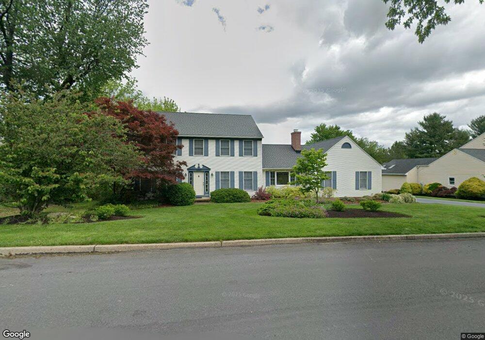
5597 Princeton Rd Macungie, PA 18062
Lower Macungie Township East NeighborhoodEstimated Value: $548,000 - $639,000
4
Beds
3
Baths
2,820
Sq Ft
$209/Sq Ft
Est. Value
About This Home
This home is located at 5597 Princeton Rd, Macungie, PA 18062 and is currently estimated at $589,264, approximately $208 per square foot. 5597 Princeton Rd is a home located in Lehigh County with nearby schools including Willow Lane Elementary School, Eyer Middle School, and Emmaus High School.
Ownership History
Date
Name
Owned For
Owner Type
Purchase Details
Closed on
Dec 14, 1987
Sold by
Ferguson & Flynn Enterprises Inc
Bought by
Haney Terrence J and Haney Jean M
Current Estimated Value
Purchase Details
Closed on
Jul 2, 1986
Sold by
Oxford Financial Corporation
Bought by
Ferguson & Flynn Enterprises Inc
Purchase Details
Closed on
Mar 9, 1984
Bought by
Oxford Financial Corporation
Create a Home Valuation Report for This Property
The Home Valuation Report is an in-depth analysis detailing your home's value as well as a comparison with similar homes in the area
Home Values in the Area
Average Home Value in this Area
Purchase History
| Date | Buyer | Sale Price | Title Company |
|---|---|---|---|
| Haney Terrence J | $212,500 | -- | |
| Ferguson & Flynn Enterprises Inc | $1,105,000 | -- | |
| Oxford Financial Corporation | $200,000 | -- |
Source: Public Records
Tax History Compared to Growth
Tax History
| Year | Tax Paid | Tax Assessment Tax Assessment Total Assessment is a certain percentage of the fair market value that is determined by local assessors to be the total taxable value of land and additions on the property. | Land | Improvement |
|---|---|---|---|---|
| 2025 | $7,958 | $311,700 | $55,800 | $255,900 |
| 2024 | $7,699 | $311,700 | $55,800 | $255,900 |
| 2023 | $7,545 | $311,700 | $55,800 | $255,900 |
| 2022 | $7,367 | $311,700 | $255,900 | $55,800 |
| 2021 | $7,210 | $311,700 | $55,800 | $255,900 |
| 2020 | $7,141 | $311,700 | $55,800 | $255,900 |
| 2019 | $7,020 | $311,700 | $55,800 | $255,900 |
| 2018 | $6,590 | $296,500 | $55,800 | $240,700 |
| 2017 | $6,475 | $296,500 | $55,800 | $240,700 |
| 2016 | -- | $296,500 | $55,800 | $240,700 |
| 2015 | -- | $296,500 | $55,800 | $240,700 |
| 2014 | -- | $296,500 | $55,800 | $240,700 |
Source: Public Records
Map
Nearby Homes
- 1991 Autumn Ridge Rd
- 2056 Autumn Ridge Rd
- 2173 Brookside Rd
- 5175 Meadowview Dr
- 6022 Eli Cir
- 1675 Hamlet Dr
- 5280 Townsquare Dr
- 6007 Timberknoll Dr
- 5706 Whitemarsh Dr
- 5133 Meadow Ln
- 2691 Terrwood Dr W Unit 176
- 1385 Brookside Rd
- 4762 Steeplechase Dr Unit 13C
- 2878 Whitemarsh Place
- 2969 Aronimink Place
- 5736 Greens Dr
- 2756 Springhaven Place
- 2796 Springhaven Place
- 2777 Springhaven Place
- 2154 Gorton Rd
- 5583 Princeton Rd
- 5613 Princeton Rd
- 2034 Brook Cir
- 2050 Brook Cir
- 5600 Princeton Rd
- 5569 Princeton Rd
- 1983 Autumn Ridge Rd
- 1987 Autumn Ridge Rd
- 5629 Princeton Rd
- 5574 Princeton Rd
- 2022 Brook Cir
- 2073 Cross Creek Rd
- 2076 Brook Cir
- 2124 Stonewall Dr
- 5549 Princeton Rd
- 2111 Stonewall Dr
- 5643 Princeton Rd
- 2091 Cross Creek Rd
- 1984 Autumn Ridge Rd
- 2039 Brook Cir