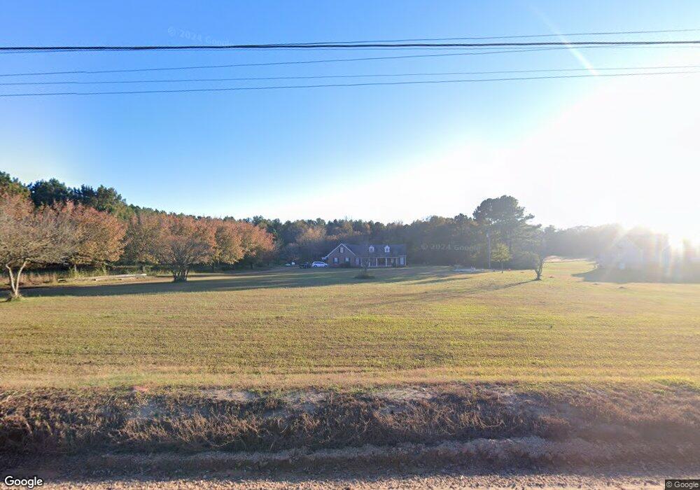
56 Apple Rd Locust Grove, GA 30248
Spalding County NeighborhoodEstimated Value: $370,268 - $399,000
3
Beds
2
Baths
2,190
Sq Ft
$176/Sq Ft
Est. Value
About This Home
This home is located at 56 Apple Rd, Locust Grove, GA 30248 and is currently estimated at $384,634, approximately $175 per square foot. 56 Apple Rd is a home located in Spalding County with nearby schools including Jordan Hill Road Elementary School, Kennedy Road Middle School, and Spalding High School.
Ownership History
Date
Name
Owned For
Owner Type
Purchase Details
Closed on
Nov 15, 2004
Sold by
Fnma
Bought by
Byrom James N
Current Estimated Value
Home Financials for this Owner
Home Financials are based on the most recent Mortgage that was taken out on this home.
Original Mortgage
$160,000
Outstanding Balance
$78,602
Interest Rate
5.65%
Mortgage Type
New Conventional
Estimated Equity
$306,032
Purchase Details
Closed on
Oct 5, 2004
Sold by
Byrom James N
Bought by
Byrom James N and Byrom Dorothy
Home Financials for this Owner
Home Financials are based on the most recent Mortgage that was taken out on this home.
Original Mortgage
$160,000
Outstanding Balance
$78,602
Interest Rate
5.65%
Mortgage Type
New Conventional
Estimated Equity
$306,032
Purchase Details
Closed on
Jul 6, 2004
Sold by
Brown Joyce and Brown Richard B
Bought by
Principal Resdntl Mtg Inc
Create a Home Valuation Report for This Property
The Home Valuation Report is an in-depth analysis detailing your home's value as well as a comparison with similar homes in the area
Home Values in the Area
Average Home Value in this Area
Purchase History
| Date | Buyer | Sale Price | Title Company |
|---|---|---|---|
| Byrom James N | -- | -- | |
| Byrom James N | -- | -- | |
| Principal Resdntl Mtg Inc | $219,947 | -- |
Source: Public Records
Mortgage History
| Date | Status | Borrower | Loan Amount |
|---|---|---|---|
| Open | Byrom James N | $160,000 |
Source: Public Records
Tax History Compared to Growth
Tax History
| Year | Tax Paid | Tax Assessment Tax Assessment Total Assessment is a certain percentage of the fair market value that is determined by local assessors to be the total taxable value of land and additions on the property. | Land | Improvement |
|---|---|---|---|---|
| 2024 | $3,071 | $121,409 | $20,534 | $100,875 |
| 2023 | $2,739 | $112,239 | $20,534 | $91,705 |
| 2022 | $2,587 | $97,609 | $17,112 | $80,497 |
| 2021 | $2,149 | $69,194 | $17,112 | $52,082 |
| 2020 | $2,158 | $69,194 | $17,112 | $52,082 |
| 2019 | $2,201 | $69,194 | $17,112 | $52,082 |
| 2018 | $2,091 | $65,056 | $17,112 | $47,944 |
| 2017 | $2,206 | $65,056 | $17,112 | $47,944 |
| 2016 | $2,245 | $65,056 | $17,112 | $47,944 |
| 2015 | $2,313 | $65,056 | $17,112 | $47,944 |
| 2014 | $2,353 | $65,056 | $17,112 | $47,944 |
Source: Public Records
Map
Nearby Homes
- 172 Sam Solomon Rd
- 949 Amelia Rd
- 2321 N Walkers Mill Rd
- 715 Frog Rd
- 2103 River Walk Ct
- 640 Howell Dr
- 1930 Locust Grove Rd
- 633 Jervis Way
- 115 N Chesapeake Bay Dr
- 121 Gainer Rd
- 1220 Nottley Dr
- 0 Chuli Rd Unit 10629381
- 109 Gainer Rd
- 2736 Lester Mill Rd
- 119 Bantry Way
- 512 Vickers Ln
- 214 Georgian Way
- 21 Wildwood Cir
- 274 Linford Dr
- 279 Linford Dr
- 50 Apple Rd
- 42 Apple Rd
- 68 Apple Rd
- 30 Apple Rd
- 62 Apple Rd
- 121 Sam Solomon Rd
- 74 Apple Rd
- 131 Sam Solomon Rd
- 20 Apple Rd
- 51 Apple Rd
- 141 Sam Solomon Rd
- 37 Apple Rd
- 1010 Amelia Rd
- 136 Sam Solomon Rd
- 0 Sam Solomon Rd Unit 10125424
- 0 Sam Solomon Rd Unit 8071120
- 0 Sam Solomon Rd Unit 8898323
- 0 Sam Solomon Rd Unit 8882860
- 0 Sam Solomon Rd Unit 8873447
- 0 Sam Solomon Rd Unit 8813512