56 Bartletts Island Way Marshfield, MA 02050
Estimated Value: $1,358,000 - $1,411,679
3
Beds
3
Baths
2,978
Sq Ft
$469/Sq Ft
Est. Value
About This Home
This home is located at 56 Bartletts Island Way, Marshfield, MA 02050 and is currently estimated at $1,395,920, approximately $468 per square foot. 56 Bartletts Island Way is a home located in Plymouth County with nearby schools including Eames Way School, Furnace Brook Middle School, and Marshfield High School.
Ownership History
Date
Name
Owned For
Owner Type
Purchase Details
Closed on
Dec 1, 1993
Sold by
Gale Vincent J and Gale Ella
Bought by
Pomerantz David W and Pomerantz Cindy R
Current Estimated Value
Home Financials for this Owner
Home Financials are based on the most recent Mortgage that was taken out on this home.
Original Mortgage
$165,000
Interest Rate
6.69%
Mortgage Type
Purchase Money Mortgage
Create a Home Valuation Report for This Property
The Home Valuation Report is an in-depth analysis detailing your home's value as well as a comparison with similar homes in the area
Home Values in the Area
Average Home Value in this Area
Purchase History
| Date | Buyer | Sale Price | Title Company |
|---|---|---|---|
| Pomerantz David W | $323,149 | -- |
Source: Public Records
Mortgage History
| Date | Status | Borrower | Loan Amount |
|---|---|---|---|
| Open | Pomerantz David W | $151,000 | |
| Closed | Pomerantz David W | $165,000 |
Source: Public Records
Tax History Compared to Growth
Tax History
| Year | Tax Paid | Tax Assessment Tax Assessment Total Assessment is a certain percentage of the fair market value that is determined by local assessors to be the total taxable value of land and additions on the property. | Land | Improvement |
|---|---|---|---|---|
| 2025 | $12,913 | $1,304,300 | $687,200 | $617,100 |
| 2024 | $12,990 | $1,250,200 | $687,200 | $563,000 |
| 2023 | $12,182 | $1,096,100 | $610,800 | $485,300 |
| 2022 | $12,182 | $940,700 | $523,700 | $417,000 |
| 2021 | $12,057 | $914,100 | $523,700 | $390,400 |
| 2020 | $12,185 | $914,100 | $523,700 | $390,400 |
| 2019 | $11,491 | $858,800 | $480,200 | $378,600 |
| 2018 | $10,899 | $815,200 | $436,600 | $378,600 |
| 2017 | $9,891 | $720,900 | $436,600 | $284,300 |
| 2016 | $9,622 | $693,200 | $436,600 | $256,600 |
| 2015 | $8,988 | $676,300 | $436,600 | $239,700 |
| 2014 | $8,460 | $636,600 | $391,400 | $245,200 |
Source: Public Records
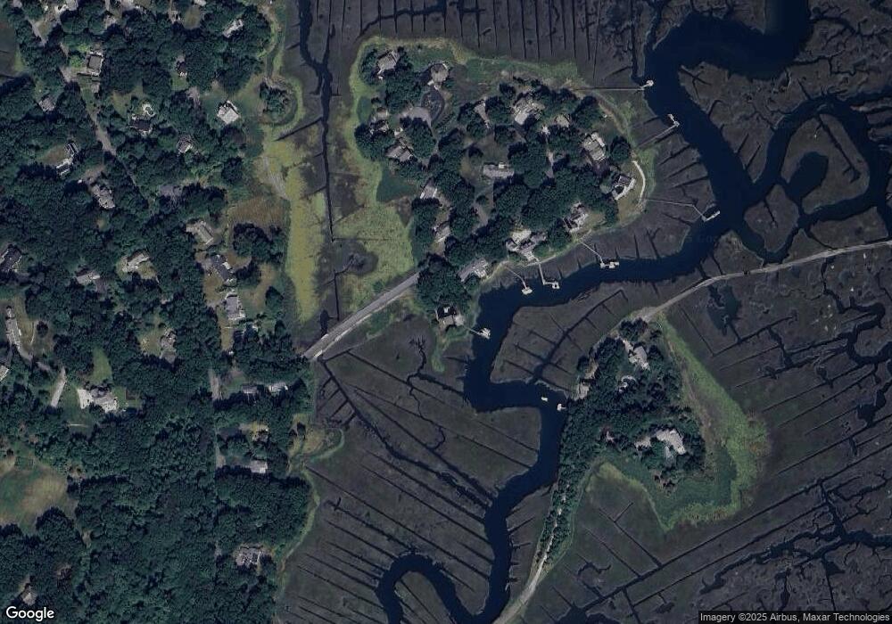
Map
Nearby Homes
- 110 Damons Point Rd
- 55 Macombers Way
- 26 Damons Point Cir
- 1 Trouants Island
- 2167 Main St
- 480 Pleasant St
- 287 Summer St
- 37 Moorland Rd
- 28 Riverside Cir
- 48 Neal Gate St
- 3 Cottage Ln
- 2 Collier Rd
- 9 Cushing Park Rd
- 248 Highland St
- 105 Cedar Acres Rd
- 46 Oakman Way
- 29 Ladds Way Unit 29
- 16 Salt Meadow Ln
- 3 Summer St
- 4 Summer St
- 70 Bartletts Island Way
- 69 Bartletts Island Way
- 84 Bartletts Island Way
- 11 Nathaniel Way
- 169 Macombers Way
- 85 Bartletts Island Way
- 27 Nathaniel Way
- 94 Bartletts Island Way
- 188 Macombers Way
- 150 Damons Point Rd
- 162 Damons Point Rd
- 35 Nathaniel Way
- 22 Nathaniel Way
- 102 Bartletts Island Way
- 172 Damons Point Rd
- 140 Damons Point Rd
- 110 Bartletts Island Way
- 99 Bartletts Island Way
- 105 Bartletts Island Way
- 180 Damons Point Rd