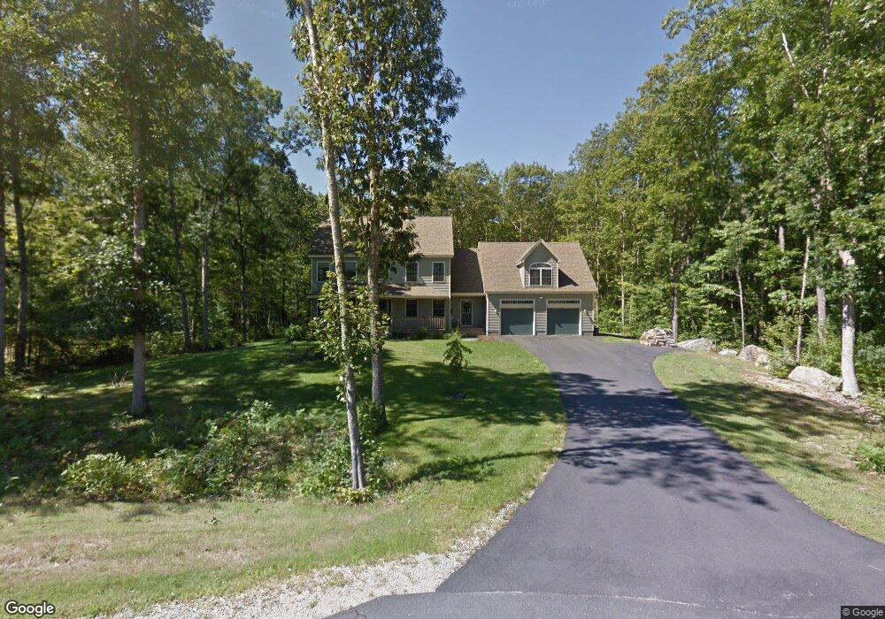
56 Bernice Ave Sanford, ME 04073
South Sanford NeighborhoodEstimated Value: $701,000 - $777,000
4
Beds
3
Baths
2,874
Sq Ft
$263/Sq Ft
Est. Value
About This Home
This home is located at 56 Bernice Ave, Sanford, ME 04073 and is currently estimated at $756,563, approximately $263 per square foot. 56 Bernice Ave is a home located in York County.
Ownership History
Date
Name
Owned For
Owner Type
Purchase Details
Closed on
Aug 2, 2006
Sold by
Zuk Const Inc
Bought by
Gendreau Sharon L and Gendreau Matthew
Current Estimated Value
Home Financials for this Owner
Home Financials are based on the most recent Mortgage that was taken out on this home.
Original Mortgage
$43,500
Outstanding Balance
$25,760
Interest Rate
6.7%
Mortgage Type
Purchase Money Mortgage
Estimated Equity
$730,803
Create a Home Valuation Report for This Property
The Home Valuation Report is an in-depth analysis detailing your home's value as well as a comparison with similar homes in the area
Home Values in the Area
Average Home Value in this Area
Purchase History
| Date | Buyer | Sale Price | Title Company |
|---|---|---|---|
| Gendreau Sharon L | -- | -- |
Source: Public Records
Mortgage History
| Date | Status | Borrower | Loan Amount |
|---|---|---|---|
| Open | Gendreau Sharon L | $43,500 |
Source: Public Records
Tax History Compared to Growth
Tax History
| Year | Tax Paid | Tax Assessment Tax Assessment Total Assessment is a certain percentage of the fair market value that is determined by local assessors to be the total taxable value of land and additions on the property. | Land | Improvement |
|---|---|---|---|---|
| 2025 | $10,652 | $622,900 | $66,700 | $556,200 |
| 2024 | $10,054 | $622,900 | $66,700 | $556,200 |
| 2023 | $9,357 | $618,000 | $66,700 | $551,300 |
| 2022 | $9,146 | $618,000 | $66,700 | $551,300 |
| 2021 | $8,761 | $481,900 | $66,700 | $415,200 |
| 2020 | $8,215 | $407,500 | $66,700 | $340,800 |
| 2019 | $7,322 | $353,700 | $66,700 | $287,000 |
| 2018 | $6,404 | $312,400 | $62,000 | $250,400 |
| 2017 | $6,129 | $295,500 | $62,000 | $233,500 |
| 2016 | $6,219 | $273,500 | $61,800 | $211,700 |
| 2015 | $5,975 | $271,100 | $62,800 | $208,300 |
| 2014 | $6,015 | $273,700 | $65,400 | $208,300 |
| 2013 | -- | $278,200 | $65,400 | $212,800 |
Source: Public Records
Map
Nearby Homes
- 42 Bernice Ave
- 22 Lentago Ln
- Lot 4 Tbd Lentago Ln Unit Lot 4
- 122 Country Club 3 Rd
- 41 Sunny Ln
- 45 Grace Ln
- 247 Sam Allen Rd
- 43 Michaels Rd
- 99 Channel Ln
- 761 Quarry Rd
- 56 Sam Allen Rd
- Lot 8E Country Club Rd
- 86 Moose Bog Ln
- 49 Willow Dr
- 469 High St
- Lot 11 Laney Ln
- Lot 13 Laney Ln
- 99 Westhaven Ln
- 85 Westhaven Ln
- Lot 13 Rolling Woods Ln
- 123 Bernice Ave Unit Lot4
- 123 Bernice Ave Unit Lot3
- 55 Bernice Ave
- 52 Bernice Ave
- 53 Bernice Ave
- 46 Bernice Ave
- 49 Bernice Ave
- Lot #8 Bernice Ave
- 37 Lavery Ln
- 45 Bernice Ave
- 37 Bernice Ave
- 112 Payeur Cir
- 0 Bernice Ave
- 24 Bernice Ave
- 6 Bernice Ave
- 2 Bernice Ave
- 115 Payeur Cir
- 29 Lavery Ln
- 88 Payeur Cir
- 15 Bernice Ave