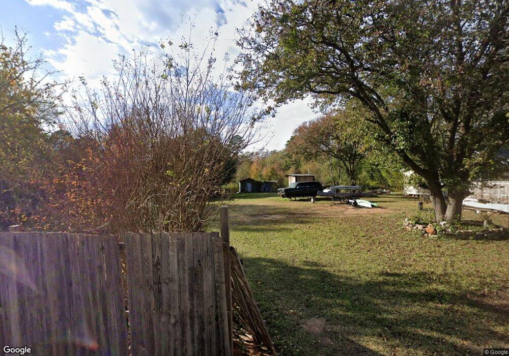
56 Bobby White Rd Lagrange, GA 30241
Estimated Value: $77,206 - $123,000
2
Beds
1
Bath
1,102
Sq Ft
$100/Sq Ft
Est. Value
About This Home
This home is located at 56 Bobby White Rd, Lagrange, GA 30241 and is currently estimated at $110,052, approximately $99 per square foot. 56 Bobby White Rd is a home located in Troup County with nearby schools including Whitesville Road Elementary School, Rosemont Elementary School, and Berta Weathersbee Elementary School.
Ownership History
Date
Name
Owned For
Owner Type
Purchase Details
Closed on
Feb 10, 2025
Sold by
Jennings Robert
Bought by
Jennings Tiffany
Current Estimated Value
Purchase Details
Closed on
Feb 7, 2025
Sold by
Brt Investments
Bought by
Jennings Robert
Purchase Details
Closed on
Jul 25, 2019
Sold by
Wilmington Savings Fund Society Fsb
Bought by
Brt Investments Llc
Purchase Details
Closed on
Jun 13, 1989
Sold by
Bob D White
Bought by
Holloway Faye White
Purchase Details
Closed on
Oct 1, 1988
Sold by
Lois Alma White
Bought by
Bob D White
Purchase Details
Closed on
Jan 1, 1970
Sold by
Bobby D White
Bought by
Lois Alma White
Create a Home Valuation Report for This Property
The Home Valuation Report is an in-depth analysis detailing your home's value as well as a comparison with similar homes in the area
Purchase History
| Date | Buyer | Sale Price | Title Company |
|---|---|---|---|
| Jennings Tiffany | -- | -- | |
| Jennings Robert | -- | -- | |
| Brt Investments Llc | $20,214 | -- | |
| Holloway Faye White | -- | -- | |
| Bob D White | -- | -- | |
| Lois Alma White | -- | -- |
Source: Public Records
Tax History
| Year | Tax Paid | Tax Assessment Tax Assessment Total Assessment is a certain percentage of the fair market value that is determined by local assessors to be the total taxable value of land and additions on the property. | Land | Improvement |
|---|---|---|---|---|
| 2025 | $1,016 | $37,240 | $8,000 | $29,240 |
| 2024 | $324 | $11,880 | $4,000 | $7,880 |
| 2023 | $324 | $11,880 | $4,000 | $7,880 |
| 2022 | $282 | $11,880 | $4,000 | $7,880 |
| 2021 | $331 | $10,960 | $2,800 | $8,160 |
| 2020 | $244 | $10,960 | $2,800 | $8,160 |
| 2019 | $323 | $10,720 | $2,800 | $7,920 |
| 2018 | $302 | $10,000 | $2,800 | $7,200 |
| 2017 | $302 | $10,000 | $2,800 | $7,200 |
| 2016 | $302 | $9,999 | $2,832 | $7,167 |
| 2015 | $302 | $9,999 | $2,832 | $7,167 |
| 2014 | $297 | $9,804 | $2,832 | $6,972 |
| 2013 | -- | $10,152 | $2,832 | $7,320 |
Source: Public Records
Map
Nearby Homes
- 50 Bobby White Rd
- 61 Bobby White Rd
- 41 Bobby White Rd
- 31 Bobby White Rd
- 2704 Hamilton Rd
- 132 Bobby White Rd
- 26 Bobby White Rd
- 48 Pine Hill Rd
- 34 Pine Rd
- 8 Pine Hill Rd
- 2726 Hamilton Rd
- 2690 Hamilton Rd
- 0 Bobby White Rd Unit 7414601
- 0 Bobby White Rd Unit 7141326
- 0 Bobby White Rd Unit 7300806
- 0 Bobby White Rd Unit 3166862
- 0 Pine Rd
- 2684 Hamilton Rd
- 49 Pine Hill Rd
- 2723 Hamilton Rd
Your Personal Tour Guide
Ask me questions while you tour the home.