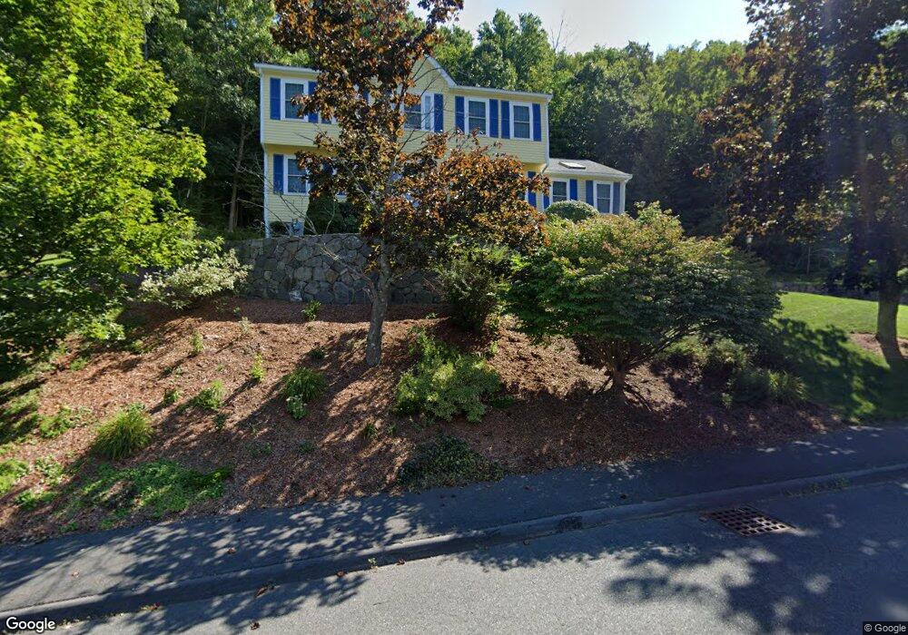
56 Bracken Dr Marlborough, MA 01752
Estimated Value: $731,000 - $879,000
4
Beds
3
Baths
2,300
Sq Ft
$346/Sq Ft
Est. Value
About This Home
This home is located at 56 Bracken Dr, Marlborough, MA 01752 and is currently estimated at $796,337, approximately $346 per square foot. 56 Bracken Dr is a home located in Middlesex County with nearby schools including Marlborough High School, Advanced Math & Science Academy, and New Covenant Christian School.
Ownership History
Date
Name
Owned For
Owner Type
Purchase Details
Closed on
Dec 14, 2018
Sold by
Leblanc Rene M and Leblanc Donna L
Bought by
Leblanc Ft
Current Estimated Value
Purchase Details
Closed on
Nov 24, 1992
Sold by
Cerqueira Antonio S
Bought by
Leblanc Rene M and Leblanc Donna L
Home Financials for this Owner
Home Financials are based on the most recent Mortgage that was taken out on this home.
Original Mortgage
$172,000
Interest Rate
7.95%
Mortgage Type
Purchase Money Mortgage
Create a Home Valuation Report for This Property
The Home Valuation Report is an in-depth analysis detailing your home's value as well as a comparison with similar homes in the area
Home Values in the Area
Average Home Value in this Area
Purchase History
| Date | Buyer | Sale Price | Title Company |
|---|---|---|---|
| Leblanc Ft | -- | -- | |
| Leblanc Rene M | $194,400 | -- |
Source: Public Records
Mortgage History
| Date | Status | Borrower | Loan Amount |
|---|---|---|---|
| Previous Owner | Leblanc Rene M | $100,000 | |
| Previous Owner | Leblanc Rene M | $155,000 | |
| Previous Owner | Leblanc Rene M | $172,000 |
Source: Public Records
Tax History Compared to Growth
Tax History
| Year | Tax Paid | Tax Assessment Tax Assessment Total Assessment is a certain percentage of the fair market value that is determined by local assessors to be the total taxable value of land and additions on the property. | Land | Improvement |
|---|---|---|---|---|
| 2025 | $6,725 | $682,000 | $261,700 | $420,300 |
| 2024 | $6,480 | $632,800 | $237,900 | $394,900 |
| 2023 | $6,975 | $604,400 | $200,300 | $404,100 |
| 2022 | $6,787 | $517,300 | $190,700 | $326,600 |
| 2021 | $6,616 | $479,400 | $161,900 | $317,500 |
| 2020 | $6,418 | $452,600 | $148,700 | $303,900 |
| 2019 | $5,055 | $440,600 | $145,800 | $294,800 |
| 2018 | $4,903 | $418,000 | $129,100 | $288,900 |
| 2017 | $6,297 | $411,000 | $129,100 | $281,900 |
| 2016 | $5,749 | $374,800 | $129,100 | $245,700 |
| 2015 | $5,830 | $369,900 | $133,900 | $236,000 |
Source: Public Records
Map
Nearby Homes
- 39 Desimone Dr
- 273 W Main St Unit B12
- 30 Broad St Unit 104
- 102 Liberty St
- 30A Winter Ave
- 76 Broad St
- 11 Paris St
- 2 Adams St
- 115 W Main St
- 11 Whispering Brook Rd Unit 55
- 61 Fairmount St Unit 11
- 32 Water St
- 87 Neil St
- 3 Madison St
- 111 Howe St
- 156 Chestnut St
- 110 Pleasant St Unit 401
- 72 Chestnut St
- 146 Framingham Rd
- 53 Mechanic St