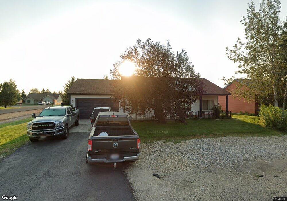
56 Buckskin Rd Donnelly, ID 83615
Estimated Value: $400,000 - $438,000
3
Beds
2
Baths
1,232
Sq Ft
$336/Sq Ft
Est. Value
About This Home
This home is located at 56 Buckskin Rd, Donnelly, ID 83615 and is currently estimated at $414,045, approximately $336 per square foot. 56 Buckskin Rd is a home located in Valley County with nearby schools including Donnelly Elementary School and McCall-Donnelly High School.
Ownership History
Date
Name
Owned For
Owner Type
Purchase Details
Closed on
Jul 1, 2019
Sold by
Nelson Richard R and Nelson Sandra L
Bought by
Huebert Troy
Current Estimated Value
Home Financials for this Owner
Home Financials are based on the most recent Mortgage that was taken out on this home.
Original Mortgage
$174,503
Outstanding Balance
$153,441
Interest Rate
4%
Mortgage Type
New Conventional
Estimated Equity
$260,604
Purchase Details
Closed on
Sep 30, 2005
Sold by
Timberline Development Llc
Bought by
Nelson Richard R and Nelson Sandra L
Create a Home Valuation Report for This Property
The Home Valuation Report is an in-depth analysis detailing your home's value as well as a comparison with similar homes in the area
Home Values in the Area
Average Home Value in this Area
Purchase History
| Date | Buyer | Sale Price | Title Company |
|---|---|---|---|
| Huebert Troy | -- | First American Title Mccall | |
| Nelson Richard R | -- | -- |
Source: Public Records
Mortgage History
| Date | Status | Borrower | Loan Amount |
|---|---|---|---|
| Open | Huebert Troy | $174,503 |
Source: Public Records
Tax History Compared to Growth
Tax History
| Year | Tax Paid | Tax Assessment Tax Assessment Total Assessment is a certain percentage of the fair market value that is determined by local assessors to be the total taxable value of land and additions on the property. | Land | Improvement |
|---|---|---|---|---|
| 2025 | $684 | $381,716 | $27,239 | $354,477 |
| 2023 | $684 | $430,120 | $28,104 | $402,016 |
| 2022 | $823 | $380,488 | $28,104 | $352,384 |
| 2021 | $599 | $225,577 | $21,618 | $203,959 |
| 2020 | $588 | $184,677 | $27,481 | $157,196 |
| 2019 | $920 | $145,718 | $26,172 | $119,546 |
| 2018 | $910 | $136,586 | $25,320 | $111,266 |
| 2017 | $980 | $134,729 | $28,571 | $106,158 |
| 2016 | $893 | $120,183 | $25,000 | $95,183 |
| 2015 | $789 | $100,021 | $0 | $0 |
| 2013 | -- | $97,420 | $0 | $0 |
Source: Public Records
Map
Nearby Homes
- Lot 4 Hideout Dr Unit 4
- Lot 6 Hideout Dr Unit 6
- 24 Mangum Dr Unit # 1 Unit 1
- 24 Mangum Cir Unit 1
- 20 #5 W Mangum Cir Unit 5
- 20 Mangum Cir Unit 8
- 13111 Cameron Dr
- 35 1 Mangum Cir
- 32 Mangum Cir Unit 3
- 32 Mangum Cir
- 35 Mangum Cir Unit 1
- 22 Charters Dr
- 34 Mangum Cir Unit 8
- 16 Buckskin Dr
- 1816 Schultz
- 1816 Schultz Unit 15
- 13098 Hill House Loop
- 13091 Hill House Loop
- 13078 Hill House Loop
- 13076 Hill House Loop