56 Burnt Branch Overlook Marble, NC 28905
Estimated Value: $215,233 - $385,000
2
Beds
2
Baths
1,482
Sq Ft
$207/Sq Ft
Est. Value
About This Home
This home is located at 56 Burnt Branch Overlook, Marble, NC 28905 and is currently estimated at $306,058, approximately $206 per square foot. 56 Burnt Branch Overlook is a home located in Cherokee County with nearby schools including Marble Elementary, Andrews Middle School, and Andrews High School.
Ownership History
Date
Name
Owned For
Owner Type
Purchase Details
Closed on
Apr 4, 2024
Sold by
Dahl-Ashcraft Ute G
Bought by
Ute Dahl-Ashcraft Living Trust and Dahl-Ashcraft
Current Estimated Value
Purchase Details
Closed on
Aug 20, 2019
Sold by
Jimenez Rachel L
Bought by
Dahl Ashcraft Ute G
Purchase Details
Closed on
Oct 2, 2018
Sold by
Ricciardelli William T and Ricciardelli Joyce H
Bought by
Jimenez Rachel L
Purchase Details
Closed on
Jul 1, 2003
Bought by
Ricciardelli William T and Ricciardelli W
Create a Home Valuation Report for This Property
The Home Valuation Report is an in-depth analysis detailing your home's value as well as a comparison with similar homes in the area
Home Values in the Area
Average Home Value in this Area
Purchase History
| Date | Buyer | Sale Price | Title Company |
|---|---|---|---|
| Ute Dahl-Ashcraft Living Trust | -- | None Listed On Document | |
| Dahl Ashcraft Ute G | $108,000 | None Available | |
| Jimenez Rachel L | $78,000 | None Available | |
| Ricciardelli William T | $84,500 | -- |
Source: Public Records
Tax History
| Year | Tax Paid | Tax Assessment Tax Assessment Total Assessment is a certain percentage of the fair market value that is determined by local assessors to be the total taxable value of land and additions on the property. | Land | Improvement |
|---|---|---|---|---|
| 2025 | $765 | $102,460 | $0 | $0 |
| 2024 | $755 | $102,460 | $0 | $0 |
| 2023 | $755 | $102,460 | $0 | $0 |
| 2022 | $0 | $102,460 | $0 | $0 |
| 2021 | $0 | $102,460 | $4,440 | $98,020 |
| 2020 | $552 | $102,460 | $0 | $0 |
| 2019 | $552 | $82,310 | $0 | $0 |
| 2018 | $552 | $82,310 | $0 | $0 |
| 2017 | $552 | $82,310 | $0 | $0 |
| 2016 | $552 | $82,310 | $0 | $0 |
| 2015 | $552 | $82,310 | $18,000 | $64,310 |
| 2012 | -- | $82,310 | $18,000 | $64,310 |
Source: Public Records
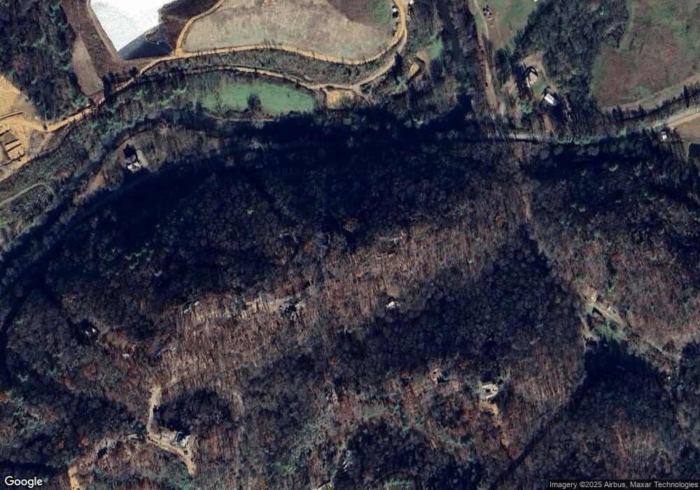
Map
Nearby Homes
- 00 N Carolina 141
- 6 Black Rock Trail
- 5 Black Rock Trail
- 3 Black Rock Trail
- 4 Black Rock Trail
- 00 Rd
- 3480 Airport Rd
- 4357 Fairview Rd
- 850 Bluff Rd
- 0 Smokey Mountain Ridge
- 38 Smokey Mountain Ridge
- 44 & 45 Silo View Rd
- Lot 42 Silo View Rd
- 221 Hunter Ln
- 294 Sunnyside Ln
- 0 Summit Ridge Trail Unit 154160
- 172 Gardenia Ct
- Lot 9 Paradise Mountain
- 1600 Long Branch Rd
- 00 Jasmine Dr
- 54 Burnt Branch Overlook Dr
- 253 River Landing Estates Dr
- 50 Burnt Branch Overlook Dr
- 85 Burnt Branch Overlook Dr
- 253 River Landing Estates Dr
- 251 Ridge Cliff Rd
- 98 Burnt Branch Overlook Dr
- 11 River Landing Estates Dr
- 316 Ridge Cliff Rd
- 178 Burnt Branch Overlook
- 315 Ridge Cliff Rd
- 377 Ridge Cliff Rd
- 173 Burnt Branch Overlook Dr
- 5830 Fairview Rd
- 384 River Landing Est Dr
- 419 Ridge Cliff Rd
- 419 Ridge Cliff Rd
- 419 River Landing Estates Dr
- 419 River Landing Estate
- 205 Ridge Cliff Rd