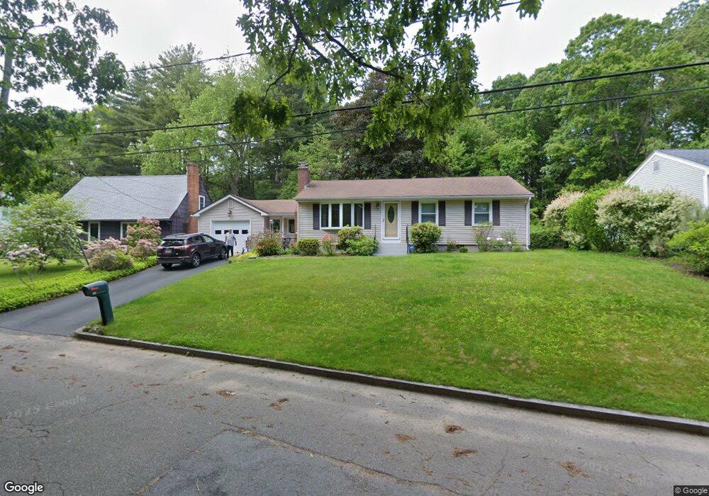
56 Burt Rd Springfield, MA 01118
East Forest Park NeighborhoodEstimated Value: $302,000 - $328,000
2
Beds
1
Bath
1,080
Sq Ft
$292/Sq Ft
Est. Value
About This Home
This home is located at 56 Burt Rd, Springfield, MA 01118 and is currently estimated at $315,050, approximately $291 per square foot. 56 Burt Rd is a home located in Hampden County with nearby schools including Arthur T Talmadge Elementary School, M Marcus Kiley Middle, and Springfield High School of Science and Technology.
Ownership History
Date
Name
Owned For
Owner Type
Purchase Details
Closed on
Aug 29, 1990
Sold by
Albanese Anna I
Bought by
Walker Lamont
Current Estimated Value
Home Financials for this Owner
Home Financials are based on the most recent Mortgage that was taken out on this home.
Original Mortgage
$91,800
Interest Rate
9.85%
Mortgage Type
Purchase Money Mortgage
Create a Home Valuation Report for This Property
The Home Valuation Report is an in-depth analysis detailing your home's value as well as a comparison with similar homes in the area
Home Values in the Area
Average Home Value in this Area
Purchase History
| Date | Buyer | Sale Price | Title Company |
|---|---|---|---|
| Walker Lamont | $102,000 | -- |
Source: Public Records
Mortgage History
| Date | Status | Borrower | Loan Amount |
|---|---|---|---|
| Open | Walker Lamont | $6,000 | |
| Closed | Walker Lamont | $90,000 | |
| Closed | Walker Lamont | $91,800 |
Source: Public Records
Tax History
| Year | Tax Paid | Tax Assessment Tax Assessment Total Assessment is a certain percentage of the fair market value that is determined by local assessors to be the total taxable value of land and additions on the property. | Land | Improvement |
|---|---|---|---|---|
| 2025 | $4,502 | $287,100 | $55,500 | $231,600 |
| 2024 | $4,410 | $274,600 | $55,500 | $219,100 |
| 2023 | $4,152 | $243,500 | $52,900 | $190,600 |
| 2022 | $3,890 | $206,700 | $52,900 | $153,800 |
| 2021 | $3,818 | $202,000 | $48,100 | $153,900 |
| 2020 | $3,666 | $187,700 | $48,100 | $139,600 |
| 2019 | $3,670 | $186,500 | $48,100 | $138,400 |
| 2018 | $3,515 | $178,600 | $48,100 | $130,500 |
| 2017 | $3,336 | $169,700 | $48,100 | $121,600 |
| 2016 | $3,216 | $163,600 | $48,100 | $115,500 |
| 2015 | $3,128 | $159,000 | $48,100 | $110,900 |
Source: Public Records
Map
Nearby Homes
- 290 Newton Rd
- 27 Regal St
- 101 Regal St
- 55 Allen St
- 231 Dayton St
- 42 Talmadge Dr
- 81 W Crystal Brook Dr
- 86 Talmadge Dr
- 56 Pennsylvania Ave
- 85 Talmadge Dr
- 5 Manor Ct Unit 5
- 19 Manor Ct Unit 19
- 865 S Branch Pkwy
- 17 Pebble Mill Rd
- 138 Abbott St
- 125 Manor Ct Unit 125
- 100 Abbott St
- 82 Louis Rd
- 11 Cheyenne Rd
- 384 Abbott St