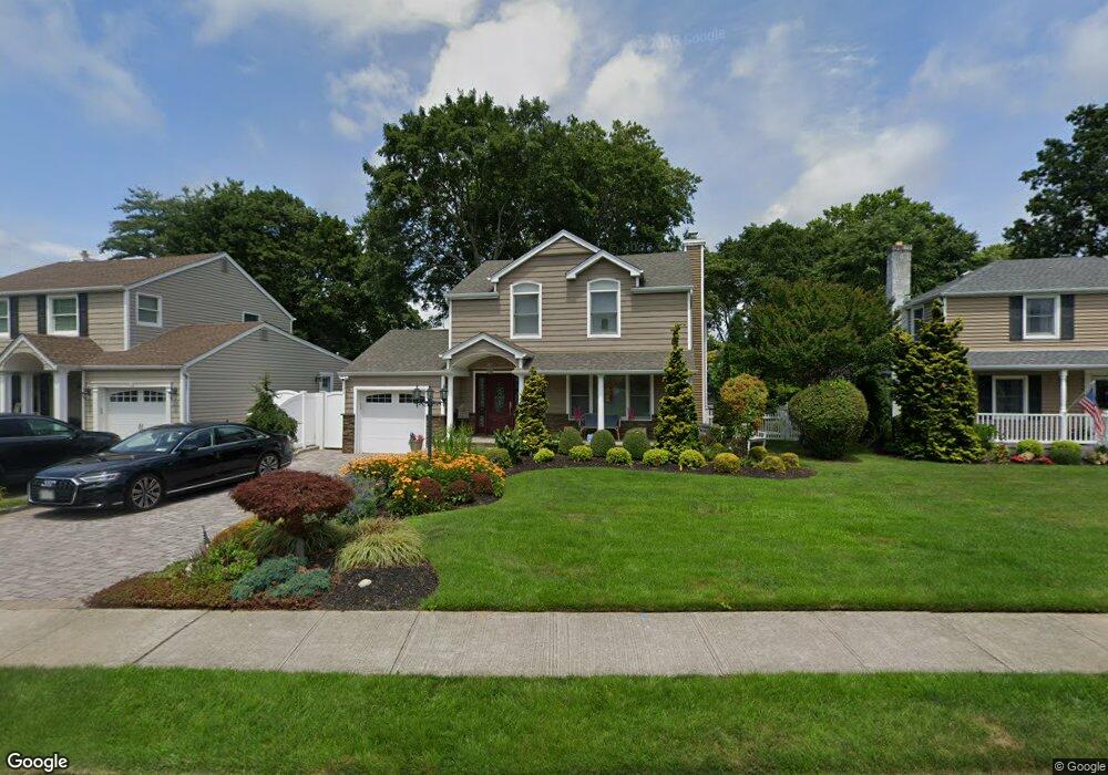
56 Crest Rd E Merrick, NY 11566
Estimated Value: $999,316 - $1,039,000
Studio
2
Baths
2,260
Sq Ft
$451/Sq Ft
Est. Value
About This Home
This home is located at 56 Crest Rd E, Merrick, NY 11566 and is currently estimated at $1,019,158, approximately $450 per square foot. 56 Crest Rd E is a home located in Nassau County with nearby schools including Grand Avenue Middle School, Wellington C Mepham High School, and Sacred Heart School.
Ownership History
Date
Name
Owned For
Owner Type
Purchase Details
Closed on
Nov 16, 2009
Sold by
Cohen Ellen J and Cohen Ellen J
Bought by
Eng Julie and Eng Alexander
Current Estimated Value
Home Financials for this Owner
Home Financials are based on the most recent Mortgage that was taken out on this home.
Original Mortgage
$195,000
Outstanding Balance
$126,805
Interest Rate
4.92%
Mortgage Type
Purchase Money Mortgage
Estimated Equity
$892,353
Purchase Details
Closed on
Nov 21, 2005
Sold by
Cohen Ellen
Create a Home Valuation Report for This Property
The Home Valuation Report is an in-depth analysis detailing your home's value as well as a comparison with similar homes in the area
Home Values in the Area
Average Home Value in this Area
Purchase History
| Date | Buyer | Sale Price | Title Company |
|---|---|---|---|
| Eng Julie | $445,000 | -- | |
| -- | -- | -- |
Source: Public Records
Mortgage History
| Date | Status | Borrower | Loan Amount |
|---|---|---|---|
| Open | Eng Julie | $195,000 |
Source: Public Records
Tax History
| Year | Tax Paid | Tax Assessment Tax Assessment Total Assessment is a certain percentage of the fair market value that is determined by local assessors to be the total taxable value of land and additions on the property. | Land | Improvement |
|---|---|---|---|---|
| 2025 | $20,323 | $709 | $210 | $499 |
| 2024 | $5,044 | $669 | $210 | $459 |
| 2023 | $15,629 | $632 | $184 | $448 |
| 2022 | $15,629 | $723 | $210 | $513 |
| 2021 | $25,664 | $693 | $201 | $492 |
| 2020 | $19,359 | $1,122 | $734 | $388 |
| 2019 | $19,343 | $1,122 | $734 | $388 |
| 2018 | $18,181 | $772 | $0 | $0 |
| 2017 | $7,030 | $772 | $734 | $38 |
| 2016 | $10,614 | $772 | $589 | $183 |
| 2015 | $3,336 | $772 | $589 | $183 |
| 2014 | $3,336 | $772 | $589 | $183 |
| 2013 | $3,872 | $962 | $734 | $228 |
Source: Public Records
Map
Nearby Homes
- 1974 Monroe Ave
- 2046 Hancock Ave
- 840 Jerusalem Ave
- 20 Iris Ave
- 2360 Hamilton Rd
- 526 Park Ave
- 25 Old Mill Rd
- 37 Orchard St
- 1026 Barbara Ct
- 116 Winifred Dr
- 1346 Bellmore Ave
- 922 Leeds Dr
- 2001 N Jerusalem Rd
- 1399 Bellmore Ave
- 1543 William St
- 1762 Esposito Ct
- 1046 Little Neck Ave
- 614 Bond Ct
- 1817 Gardenia Ave
- 1425 Jerusalem Ave Unit 7
Your Personal Tour Guide
Ask me questions while you tour the home.