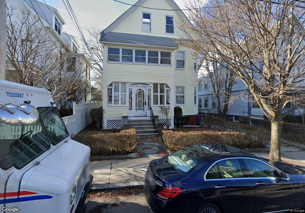
56 Curtis St Somerville, MA 02144
Teele Square NeighborhoodEstimated Value: $1,576,000 - $1,817,000
5
Beds
3
Baths
3,745
Sq Ft
$447/Sq Ft
Est. Value
About This Home
This home is located at 56 Curtis St, Somerville, MA 02144 and is currently estimated at $1,673,667, approximately $446 per square foot. 56 Curtis St is a home located in Middlesex County with nearby schools including Somerville High School, St. Clement Elementary School, and International School of Boston.
Ownership History
Date
Name
Owned For
Owner Type
Purchase Details
Closed on
Sep 3, 2009
Sold by
Nissenbaum Alexis Z and Nissenbaum Wyckoff Z
Bought by
Nissenbaum Alan Jay and Nissenbaum Ellen Zarrow
Current Estimated Value
Create a Home Valuation Report for This Property
The Home Valuation Report is an in-depth analysis detailing your home's value as well as a comparison with similar homes in the area
Home Values in the Area
Average Home Value in this Area
Purchase History
| Date | Buyer | Sale Price | Title Company |
|---|---|---|---|
| Nissenbaum Alan Jay | -- | -- |
Source: Public Records
Property History
| Date | Event | Price | List to Sale | Price per Sq Ft |
|---|---|---|---|---|
| 10/08/2024 10/08/24 | Off Market | $2,800 | -- | -- |
| 08/06/2024 08/06/24 | For Rent | $2,800 | -- | -- |
Tax History
| Year | Tax Paid | Tax Assessment Tax Assessment Total Assessment is a certain percentage of the fair market value that is determined by local assessors to be the total taxable value of land and additions on the property. | Land | Improvement |
|---|---|---|---|---|
| 2025 | $16,627 | $1,524,000 | $742,600 | $781,400 |
| 2024 | $15,677 | $1,490,200 | $742,600 | $747,600 |
| 2023 | $15,748 | $1,523,000 | $742,600 | $780,400 |
| 2022 | $14,999 | $1,473,400 | $707,200 | $766,200 |
| 2021 | $14,200 | $1,393,500 | $702,000 | $691,500 |
| 2020 | $13,599 | $1,347,800 | $702,500 | $645,300 |
| 2019 | $12,868 | $1,195,900 | $639,500 | $556,400 |
| 2018 | $11,864 | $1,049,000 | $581,400 | $467,600 |
| 2017 | $3,086 | $1,001,900 | $548,500 | $453,400 |
| 2016 | $11,500 | $917,800 | $489,800 | $428,000 |
| 2015 | $10,967 | $869,700 | $452,400 | $417,300 |
Source: Public Records
Map
Nearby Homes
- 69 Electric Ave Unit 3
- 69 Electric Ave Unit 1
- 55 Packard Ave Unit 1
- 202 Powder House Blvd Unit 1
- 202 Powder House Blvd Unit 2
- 30 Clarendon Ave
- 233 Powder House Blvd
- 69 Clarendon Ave Unit A
- 5 Glendale Ave Unit 5
- 142 North St
- 32 Cameron Ave
- 327 Alewife Brook Pkwy Unit A
- 327 Alewife Brook Pkwy Unit B
- 50 Howard St Unit 5
- 97 Elmwood St Unit 313
- 97 Elmwood St Unit 110
- 97 Elmwood St Unit 310
- 17 Holland St Unit 301
- 45 Teel St
- 9-11 Edmunds St
- 56 Curtis St
- 58 Curtis St
- 58 Curtis St
- 56 Curtis St Unit 3
- 56 Curtis St Unit 2
- 58 Curtis St Unit 1
- 54 Curtis St
- 62 Curtis St Unit 2
- 62 Curtis St Unit 1
- 62 Curtis St
- 62 Curtis St Unit 1,62
- 168 Powder House Blvd
- 170 Powder House Blvd
- 7 Ware St
- 7 Ware St Unit 2
- 7 Ware St
- 7 Ware St Unit 1
- 7 Ware St Unit 2
- 7 Ware St
- 7 Ware St Unit 1
Your Personal Tour Guide
Ask me questions while you tour the home.