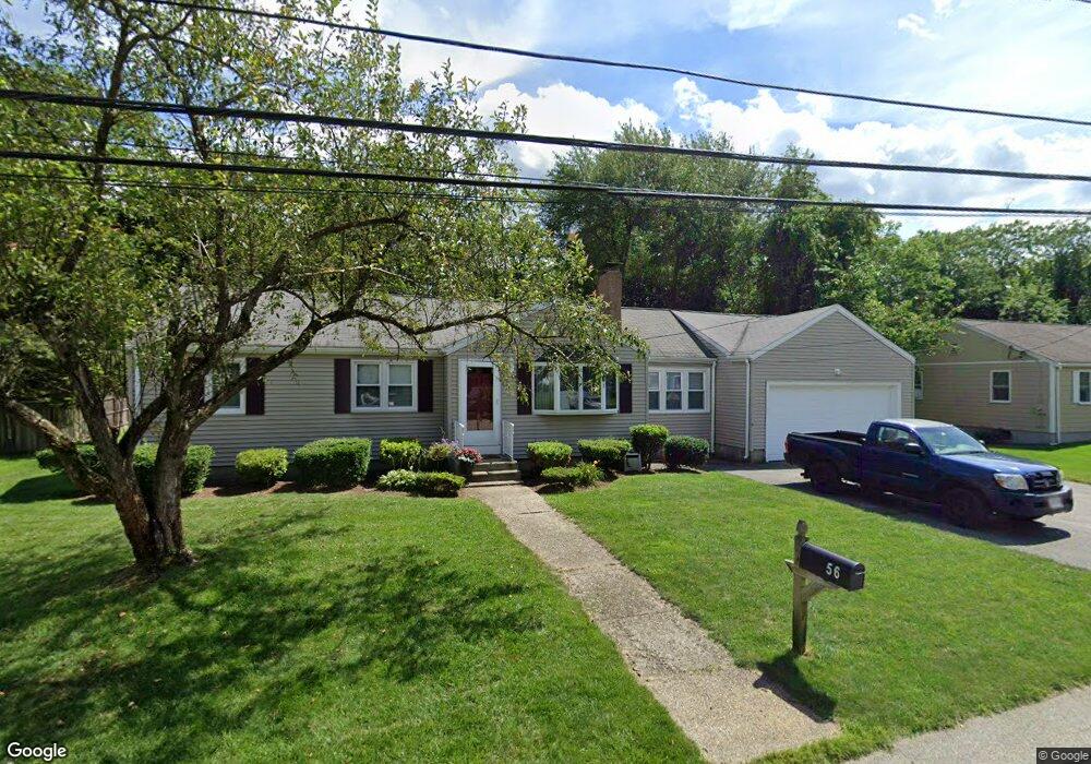
56 Day Cir Woburn, MA 01801
Shakerhill NeighborhoodEstimated Value: $703,193 - $758,000
3
Beds
2
Baths
1,229
Sq Ft
$592/Sq Ft
Est. Value
About This Home
This home is located at 56 Day Cir, Woburn, MA 01801 and is currently estimated at $727,048, approximately $591 per square foot. 56 Day Cir is a home located in Middlesex County with nearby schools including Reeves Elementary School, Daniel L. Joyce Middle School, and Woburn High School.
Ownership History
Date
Name
Owned For
Owner Type
Purchase Details
Closed on
Nov 6, 2019
Sold by
Sullivan Thomas J and Sullivan Patricia E
Bought by
Sullivan
Current Estimated Value
Purchase Details
Closed on
Jul 10, 1991
Sold by
White Francis J and White Bette
Bought by
Sullivan Thomas J and Sullivan Patricia
Create a Home Valuation Report for This Property
The Home Valuation Report is an in-depth analysis detailing your home's value as well as a comparison with similar homes in the area
Home Values in the Area
Average Home Value in this Area
Purchase History
| Date | Buyer | Sale Price | Title Company |
|---|---|---|---|
| Sullivan | -- | -- | |
| T & P Sullivan Ret | -- | -- | |
| Sullivan Thomas J | $162,500 | -- | |
| Sullivan Thomas J | $162,500 | -- |
Source: Public Records
Mortgage History
| Date | Status | Borrower | Loan Amount |
|---|---|---|---|
| Previous Owner | Sullivan Thomas J | $100,000 | |
| Previous Owner | Sullivan Thomas J | $168,000 | |
| Previous Owner | Sullivan Thomas J | $155,400 |
Source: Public Records
Tax History
| Year | Tax Paid | Tax Assessment Tax Assessment Total Assessment is a certain percentage of the fair market value that is determined by local assessors to be the total taxable value of land and additions on the property. | Land | Improvement |
|---|---|---|---|---|
| 2025 | $5,266 | $616,600 | $361,500 | $255,100 |
| 2024 | $4,831 | $599,400 | $344,300 | $255,100 |
| 2023 | $4,868 | $559,500 | $313,000 | $246,500 |
| 2022 | $4,861 | $520,500 | $272,200 | $248,300 |
| 2021 | $4,588 | $491,800 | $259,300 | $232,500 |
| 2020 | $4,328 | $464,400 | $259,300 | $205,100 |
| 2019 | $4,145 | $436,300 | $246,900 | $189,400 |
| 2018 | $3,949 | $399,300 | $226,500 | $172,800 |
| 2017 | $3,810 | $383,300 | $215,700 | $167,600 |
| 2016 | $3,632 | $361,400 | $201,600 | $159,800 |
| 2015 | $3,533 | $347,400 | $188,400 | $159,000 |
| 2014 | $3,332 | $319,200 | $188,400 | $130,800 |
Source: Public Records
Map
Nearby Homes
- 212 Cambridge Rd
- 19 Indian Hill Rd
- 7 Wainwright Rd Unit 15
- 15 Crescent Rd
- 299 Lexington St Unit 51
- 16 Battlemarch Way
- 8 Buckman Dr
- 36 Cambridge Rd Unit 24
- 36 Cambridge Rd Unit 40
- 20 Amberwood Dr
- 5 Squire Rd
- 136 Bedford Rd
- 31 Arlington Rd Unit 1-6
- 10 Hawthorne Rd
- 27 Arlington Rd Unit 2
- 14 Liana St
- 54 Johnson Rd
- 15 Sturgis St
- 454 Lexington St
- 76 Woodside Rd
Your Personal Tour Guide
Ask me questions while you tour the home.