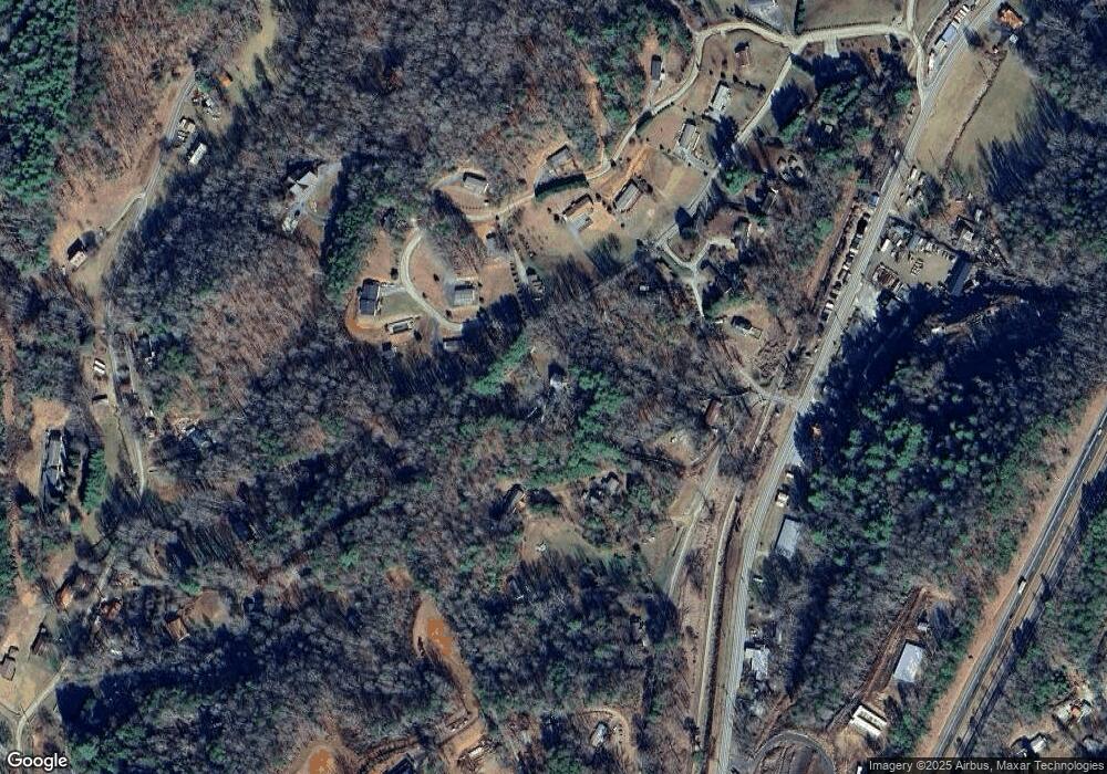
56 Dehart Cemetery Rd Bryson City, NC 28713
Estimated Value: $417,000 - $591,000
5
Beds
3
Baths
4,364
Sq Ft
$115/Sq Ft
Est. Value
About This Home
This home is located at 56 Dehart Cemetery Rd, Bryson City, NC 28713 and is currently estimated at $502,968, approximately $115 per square foot. 56 Dehart Cemetery Rd is a home located in Swain County with nearby schools including Swain County Middle School, Swain County West Elementary School, and Swain County High School.
Ownership History
Date
Name
Owned For
Owner Type
Purchase Details
Closed on
Jul 13, 2009
Sold by
Woodruff Grant M and Woodruff Dawn
Bought by
Woodruff Wilbur J and Woodruff Sybil M
Current Estimated Value
Purchase Details
Closed on
Dec 1, 2006
Sold by
Woodruff Grant M and Woodruff Wilbur J
Bought by
Woodruff Grant M and Woodruff Wilbur J
Purchase Details
Closed on
Nov 10, 2006
Sold by
Woodruff Jill N
Bought by
Woodruff Grant M
Create a Home Valuation Report for This Property
The Home Valuation Report is an in-depth analysis detailing your home's value as well as a comparison with similar homes in the area
Home Values in the Area
Average Home Value in this Area
Purchase History
| Date | Buyer | Sale Price | Title Company |
|---|---|---|---|
| Woodruff Wilbur J | -- | -- | |
| Woodruff Grant M | -- | -- | |
| Woodruff Grant M | -- | -- |
Source: Public Records
Tax History Compared to Growth
Tax History
| Year | Tax Paid | Tax Assessment Tax Assessment Total Assessment is a certain percentage of the fair market value that is determined by local assessors to be the total taxable value of land and additions on the property. | Land | Improvement |
|---|---|---|---|---|
| 2025 | $1,440 | $323,190 | $54,970 | $268,220 |
| 2024 | $1,440 | $323,190 | $54,970 | $268,220 |
| 2023 | $1,278 | $323,190 | $54,970 | $268,220 |
| 2022 | $1,278 | $323,190 | $54,970 | $268,220 |
| 2021 | $1,278 | $323,190 | $0 | $0 |
| 2020 | $1,000 | $256,860 | $50,190 | $206,670 |
| 2019 | $1,000 | $256,860 | $50,190 | $206,670 |
| 2018 | $1,000 | $256,860 | $50,190 | $206,670 |
| 2017 | $1,000 | $256,860 | $50,190 | $206,670 |
| 2016 | $1,000 | $256,860 | $50,190 | $206,670 |
| 2015 | -- | $256,860 | $50,190 | $206,670 |
| 2014 | -- | $256,860 | $50,190 | $206,670 |
Source: Public Records
Map
Nearby Homes
- Lot 6 Biltmore Cir
- Lot 6 Biltmore Cir Unit 6
- Lot 16 Bryson Gap Preserve
- Lot 15 Bryson Gap Preserve
- Lot 14 Bryson Gap Preserve
- 67 Trent Field Rd
- 210 Oak Hill Dr
- 213 Pine Meadows Rd
- 73 Robinson Gap Ln
- 280 Bear Cove Rd
- 0 Bear Cove Cir Unit 10081397
- 0 Bear Cove Unit NCSW2000014
- 110 Gadsden Ridge
- 50 Wilson Dr
- 1955 Sam Davis Rd
- 315 Big Rockys Rd
- 4160 U S 19
- 365 Ed Jenkins Rd
- 91 Friendship Walk
- Lot 3 Miners Ridge
- 56 Dehart Cemetary Rd
- Lot 4F Biltmore Cir
- lot36/37 the Falls 0 East Alarka
- Lot 41 Brush Creek Properties
- 0 Rosetta Dr
- 90 Monkey Face Dr
- Lot 22 Long Creek Preserve
- 26 Dehart Cove Rd
- 270 Dehart Cove
- 110 Dehart Cemetary Rd
- 26 Dehart Cemetery Rd
- 466 Dehart Cemetery Rd
- 464 Dehart Cemetery Rd
- 1371 Robinson Gap Rd
- 20 Dehart Cove Rd
- 228 Dehart Cove Rd
- 357 Dehart Cove Rd
- Lot 12 Bryson Gap Preserve
- Lot 8 Bryson Gap Preserve
- 00 Rusty's Ridge
