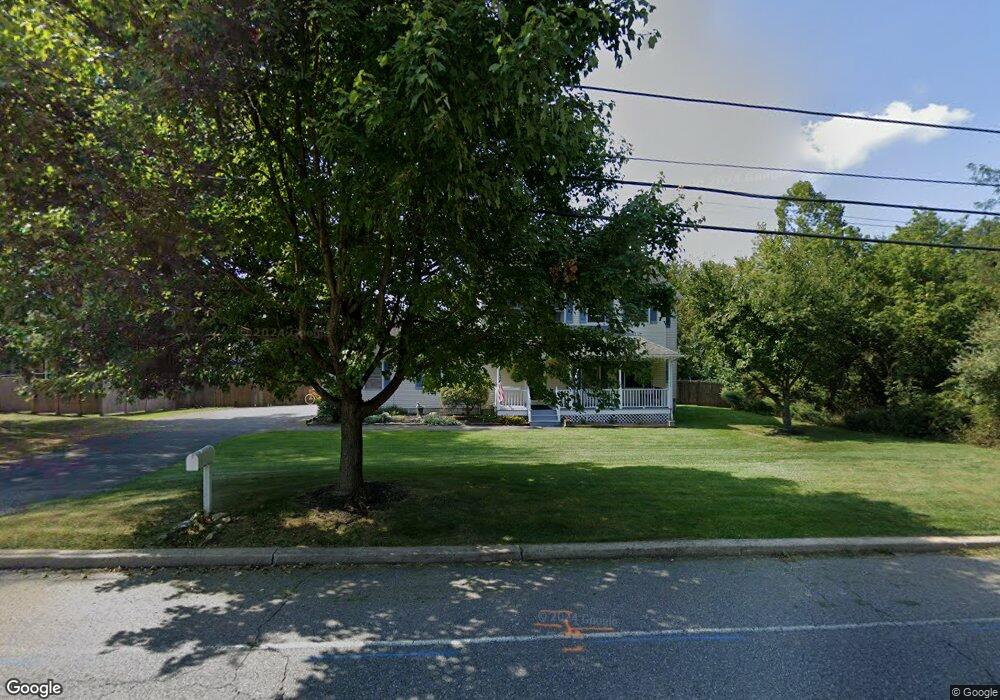
56 Dewey Ave High Bridge, NJ 08829
Estimated Value: $494,000 - $573,279
--
Bed
--
Bath
1,904
Sq Ft
$288/Sq Ft
Est. Value
About This Home
This home is located at 56 Dewey Ave, High Bridge, NJ 08829 and is currently estimated at $548,070, approximately $287 per square foot. 56 Dewey Ave is a home located in Hunterdon County with nearby schools including High Bridge Elementary School, High Bridge Middle School, and Voorhees High School.
Ownership History
Date
Name
Owned For
Owner Type
Purchase Details
Closed on
May 4, 2001
Sold by
Russell Holding Llc
Bought by
Larkins Kevin and Larkins Bridgett
Current Estimated Value
Home Financials for this Owner
Home Financials are based on the most recent Mortgage that was taken out on this home.
Original Mortgage
$164,430
Outstanding Balance
$61,398
Interest Rate
7.03%
Mortgage Type
FHA
Estimated Equity
$486,672
Purchase Details
Closed on
Jan 11, 2000
Sold by
Masonic Charity Foundation/Nj
Bought by
Russell Holding Llc
Create a Home Valuation Report for This Property
The Home Valuation Report is an in-depth analysis detailing your home's value as well as a comparison with similar homes in the area
Home Values in the Area
Average Home Value in this Area
Purchase History
| Date | Buyer | Sale Price | Title Company |
|---|---|---|---|
| Larkins Kevin | $192,000 | -- | |
| Russell Holding Llc | $30,000 | -- |
Source: Public Records
Mortgage History
| Date | Status | Borrower | Loan Amount |
|---|---|---|---|
| Open | Larkins Kevin | $164,430 |
Source: Public Records
Tax History Compared to Growth
Tax History
| Year | Tax Paid | Tax Assessment Tax Assessment Total Assessment is a certain percentage of the fair market value that is determined by local assessors to be the total taxable value of land and additions on the property. | Land | Improvement |
|---|---|---|---|---|
| 2025 | $13,457 | $434,400 | $190,900 | $243,500 |
| 2024 | $12,937 | $412,300 | $142,600 | $269,700 |
| 2023 | $12,937 | $327,200 | $139,100 | $188,100 |
| 2022 | $13,386 | $314,600 | $125,400 | $189,200 |
| 2021 | $13,151 | $315,000 | $125,400 | $189,600 |
| 2020 | $12,944 | $315,700 | $125,000 | $190,700 |
| 2019 | $13,083 | $316,700 | $125,000 | $191,700 |
| 2018 | $12,575 | $317,300 | $124,500 | $192,800 |
| 2017 | $11,616 | $301,400 | $105,500 | $195,900 |
| 2016 | $11,480 | $301,400 | $105,500 | $195,900 |
| 2015 | $11,170 | $301,400 | $105,500 | $195,900 |
| 2014 | $12,084 | $352,400 | $139,400 | $213,000 |
Source: Public Records
Map
Nearby Homes
- 58 Dewey Ave
- 1 Berrywood Ln
- 3 Berrywood Ln
- 55 Dewey Ave
- 59 Dewey Ave
- 2 Patton St
- 5 Berrywood Ln
- 1 Mac Arthur St
- 2 Berrywood Ln
- 42 Indian Spring Ln
- 41 Indian Spring Ln
- 5 Patton St
- 40 Indian Spring Ln
- 1 Indian Spring Ln
- 4 Patton St
- 39 Indian Spring Ln
- 2 Indian Spring Ln
- 3 Indian Spring Ln
- 3 Mac Arthur St
- 4 Indian Spring Ln