56 Dirt Ln Wapwallopen, PA 18660
Estimated Value: $228,000 - $363,000
--
Bed
--
Bath
1,897
Sq Ft
$152/Sq Ft
Est. Value
About This Home
This home is located at 56 Dirt Ln, Wapwallopen, PA 18660 and is currently estimated at $288,799, approximately $152 per square foot. 56 Dirt Ln is a home located in Luzerne County with nearby schools including Crestwood Secondary Campus (Crestwood High School).
Ownership History
Date
Name
Owned For
Owner Type
Purchase Details
Closed on
May 8, 2019
Sold by
Gallagher Jamie T and Gallagher Lori J
Bought by
Zapotosky Michael J
Current Estimated Value
Purchase Details
Closed on
Sep 27, 2005
Sold by
Sobolewski David Matthew and Sobolewski Jennifer E
Bought by
Gallagher Jamie T and Gallagher Lori J
Home Financials for this Owner
Home Financials are based on the most recent Mortgage that was taken out on this home.
Original Mortgage
$116,000
Interest Rate
5.78%
Mortgage Type
New Conventional
Create a Home Valuation Report for This Property
The Home Valuation Report is an in-depth analysis detailing your home's value as well as a comparison with similar homes in the area
Home Values in the Area
Average Home Value in this Area
Purchase History
| Date | Buyer | Sale Price | Title Company |
|---|---|---|---|
| Zapotosky Michael J | $94,800 | None Available | |
| Gallagher Jamie T | $145,000 | None Available |
Source: Public Records
Mortgage History
| Date | Status | Borrower | Loan Amount |
|---|---|---|---|
| Previous Owner | Gallagher Jamie T | $116,000 |
Source: Public Records
Tax History Compared to Growth
Tax History
| Year | Tax Paid | Tax Assessment Tax Assessment Total Assessment is a certain percentage of the fair market value that is determined by local assessors to be the total taxable value of land and additions on the property. | Land | Improvement |
|---|---|---|---|---|
| 2025 | $3,667 | $185,700 | $44,500 | $141,200 |
| 2024 | $3,620 | $185,700 | $44,500 | $141,200 |
| 2023 | $3,501 | $185,700 | $44,500 | $141,200 |
| 2022 | $3,467 | $185,700 | $44,500 | $141,200 |
| 2021 | $3,389 | $185,700 | $44,500 | $141,200 |
| 2020 | $3,338 | $185,700 | $44,500 | $141,200 |
| 2019 | $3,178 | $185,700 | $44,500 | $141,200 |
| 2018 | $3,078 | $185,700 | $44,500 | $141,200 |
| 2017 | $3,078 | $185,700 | $44,500 | $141,200 |
| 2016 | -- | $185,700 | $44,500 | $141,200 |
| 2015 | -- | $185,700 | $44,500 | $141,200 |
| 2014 | -- | $185,700 | $44,500 | $141,200 |
Source: Public Records
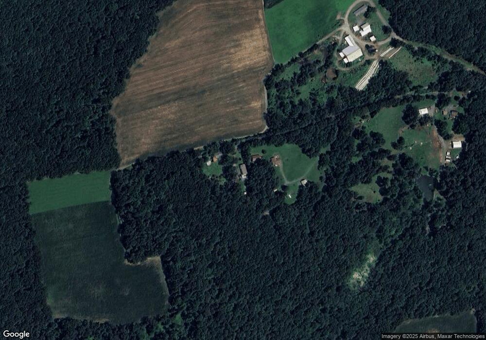
Map
Nearby Homes
- 7840 Blue Ridge Trail
- 2.19 acres Saint Marys Rd
- 18 Shady Oak Ln
- 1001 Blue Ridge Trail
- 308 Small Mountain Rd
- 8 Eight Iron Dr
- 141 Estates Drive (Lot 16)
- 180 Estates Drive (Lot 6)
- 206 Estates Drive (Lot 8)
- 207 Estates Drive (Lot 19)
- 168 Estates Drive (Lot 4)
- 75 Starview Ln
- 7294 Blue Ridge Trail
- 122 Valley Stream Park
- 15 Morio Dr
- 4 Circle Ave
- 18 Circle Ave
- 0 Pond Hill Mountain Rd Unit 25-171
- 2 Gay Ave
- 300 Estates Drive (Lot 14)