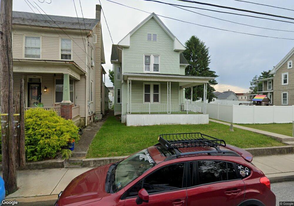
56 E Maple St Dallastown, PA 17313
Estimated Value: $212,000 - $232,000
3
Beds
1
Bath
2,004
Sq Ft
$109/Sq Ft
Est. Value
About This Home
This home is located at 56 E Maple St, Dallastown, PA 17313 and is currently estimated at $218,818, approximately $109 per square foot. 56 E Maple St is a home located in York County with nearby schools including Dallastown Elementary School, Dallastown Area Middle School, and Dallastown Area High School.
Ownership History
Date
Name
Owned For
Owner Type
Purchase Details
Closed on
Aug 29, 2012
Sold by
Anderson Matthew D and Anderson Janelle R
Bought by
Anderson Matthew D and Anderson Janelle R
Current Estimated Value
Home Financials for this Owner
Home Financials are based on the most recent Mortgage that was taken out on this home.
Original Mortgage
$85,500
Outstanding Balance
$59,302
Interest Rate
3.62%
Mortgage Type
New Conventional
Estimated Equity
$159,516
Purchase Details
Closed on
Apr 22, 2005
Sold by
Moyer Kim E
Bought by
Anderson Matthew D and Boyd Janelle R
Home Financials for this Owner
Home Financials are based on the most recent Mortgage that was taken out on this home.
Original Mortgage
$16,500
Interest Rate
5.38%
Mortgage Type
Unknown
Purchase Details
Closed on
Jul 22, 2004
Sold by
Bankenstein Bruce C
Bought by
Moyer Kim E
Create a Home Valuation Report for This Property
The Home Valuation Report is an in-depth analysis detailing your home's value as well as a comparison with similar homes in the area
Home Values in the Area
Average Home Value in this Area
Purchase History
| Date | Buyer | Sale Price | Title Company |
|---|---|---|---|
| Anderson Matthew D | -- | Title Source Inc | |
| Anderson Matthew D | $110,000 | -- | |
| Moyer Kim E | $81,000 | -- |
Source: Public Records
Mortgage History
| Date | Status | Borrower | Loan Amount |
|---|---|---|---|
| Open | Anderson Matthew D | $85,500 | |
| Closed | Anderson Matthew D | $16,500 | |
| Closed | Anderson Matthew D | $88,000 |
Source: Public Records
Tax History
| Year | Tax Paid | Tax Assessment Tax Assessment Total Assessment is a certain percentage of the fair market value that is determined by local assessors to be the total taxable value of land and additions on the property. | Land | Improvement |
|---|---|---|---|---|
| 2025 | $3,489 | $100,430 | $20,820 | $79,610 |
| 2024 | $3,489 | $100,430 | $20,820 | $79,610 |
| 2023 | $3,489 | $100,430 | $20,820 | $79,610 |
| 2022 | $3,377 | $100,430 | $20,820 | $79,610 |
| 2021 | $3,185 | $100,430 | $20,820 | $79,610 |
| 2020 | $3,185 | $100,430 | $20,820 | $79,610 |
| 2019 | $3,175 | $100,430 | $20,820 | $79,610 |
| 2018 | $3,175 | $100,430 | $20,820 | $79,610 |
| 2017 | $3,051 | $100,430 | $20,820 | $79,610 |
| 2016 | $0 | $100,430 | $20,820 | $79,610 |
| 2015 | -- | $100,430 | $20,820 | $79,610 |
| 2014 | -- | $100,430 | $20,820 | $79,610 |
Source: Public Records
Map
Nearby Homes
- 226 E Maple St
- 356 E Main St
- 314 S Pleasant Ave
- 205 Teila Dr
- 197 S Main St
- 695 Oak Rd
- 39 W George St
- 100 Clover Hill Rd
- 479 Frederick Dr
- 150 Yoe Dr
- 129 Heather Glen Dr Unit 78
- 127 Heather Glen Dr Unit 80
- 113 Brant Dr
- 240 Palomino Way
- 510 Katonah Dr Unit 6
- 169 Jonathan Way N
- 2881 Sunset Dr
- 110 Valley Dr Unit 110
- 414 S Park St
- 400 Carriage Ln Unit 400
Your Personal Tour Guide
Ask me questions while you tour the home.