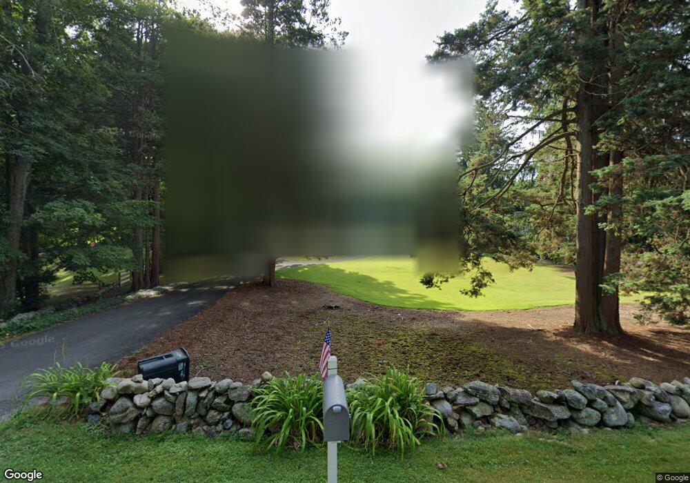
56 E Rocks Rd Norwalk, CT 06851
Woods Pond NeighborhoodEstimated Value: $791,000 - $933,000
4
Beds
3
Baths
2,541
Sq Ft
$348/Sq Ft
Est. Value
About This Home
This home is located at 56 E Rocks Rd, Norwalk, CT 06851 and is currently estimated at $883,717, approximately $347 per square foot. 56 E Rocks Rd is a home located in Fairfield County with nearby schools including Cranbury Elementary School, West Rocks Middle School, and Norwalk High School.
Ownership History
Date
Name
Owned For
Owner Type
Purchase Details
Closed on
Apr 12, 2001
Sold by
Wittstock Christopher and Wittstock Cynthia S
Bought by
Larchevesque Lee G and Larchevesque Adriana M
Current Estimated Value
Purchase Details
Closed on
Mar 25, 1998
Sold by
Coscia Stephen and Coscia Beverly
Bought by
Wittstock Christopher and Wittstock Cynthia S
Create a Home Valuation Report for This Property
The Home Valuation Report is an in-depth analysis detailing your home's value as well as a comparison with similar homes in the area
Home Values in the Area
Average Home Value in this Area
Purchase History
| Date | Buyer | Sale Price | Title Company |
|---|---|---|---|
| Larchevesque Lee G | $550,000 | -- | |
| Larchevesque Lee G | $550,000 | -- | |
| Wittstock Christopher | $368,000 | -- | |
| Wittstock Christopher | $368,000 | -- |
Source: Public Records
Mortgage History
| Date | Status | Borrower | Loan Amount |
|---|---|---|---|
| Open | Wittstock Christopher | $100,000 | |
| Open | Wittstock Christopher | $341,000 | |
| Closed | Wittstock Christopher | $349,803 |
Source: Public Records
Tax History
| Year | Tax Paid | Tax Assessment Tax Assessment Total Assessment is a certain percentage of the fair market value that is determined by local assessors to be the total taxable value of land and additions on the property. | Land | Improvement |
|---|---|---|---|---|
| 2025 | $13,128 | $548,250 | $235,750 | $312,500 |
| 2024 | $12,934 | $548,250 | $235,750 | $312,500 |
| 2023 | $10,236 | $406,830 | $180,080 | $226,750 |
| 2022 | $10,045 | $406,830 | $180,080 | $226,750 |
| 2021 | $9,784 | $406,830 | $180,080 | $226,750 |
| 2020 | $9,779 | $406,830 | $180,080 | $226,750 |
| 2019 | $9,505 | $406,830 | $180,080 | $226,750 |
| 2018 | $9,854 | $369,600 | $186,740 | $182,860 |
| 2017 | $8,135 | $369,600 | $186,740 | $182,860 |
| 2016 | $9,425 | $369,600 | $186,740 | $182,860 |
| 2015 | $9,399 | $369,600 | $186,740 | $182,860 |
| 2014 | $9,277 | $369,600 | $186,740 | $182,860 |
Source: Public Records
Map
Nearby Homes
- 75 Newtown Ave
- 6 Clara Dr
- 11 Margaret St
- 71 Saddle Rd
- 10 Merrill Rd
- 3 Stonybrook Rd
- 37 Murray St
- 34 Sunrise Hill Rd
- 206 Sunrise Hill Rd Unit 206
- 226 Sunrise Hill Rd Unit 226
- 152 E Rocks Rd
- 4 Union Ave Unit 24
- 9 Trailside Dr
- 81 Wolfpit Ave Unit B3
- 50 Aiken St Unit 253
- 71 Aiken St Unit M1
- 71 Aiken St Unit C8
- 3 Woodley Ln
- 2 Woodley Ln
- 5 Tod Rd
- 0 97 St Unit Suite 2
- 0 97 St
- 0 Private St Unit 170620426
- 62 E Rocks Rd
- 54 1/2 E Rocks Rd
- 54 E Rocks Rd
- 59 E Rocks Rd
- 59 1/2 E Rocks Rd
- 64 E Rocks Rd
- 52 E Rocks Rd
- 22C Blake St
- 26 Blake St
- 66 E Rocks Rd
- 51 E Rocks Rd
- 41 Blue Mountain Rd
- 50 E Rocks Rd
- 61 E Rocks Rd
- 63 E Rocks Rd
- 24 Blake St
- 37 Blue Mountain Rd
Your Personal Tour Guide
Ask me questions while you tour the home.