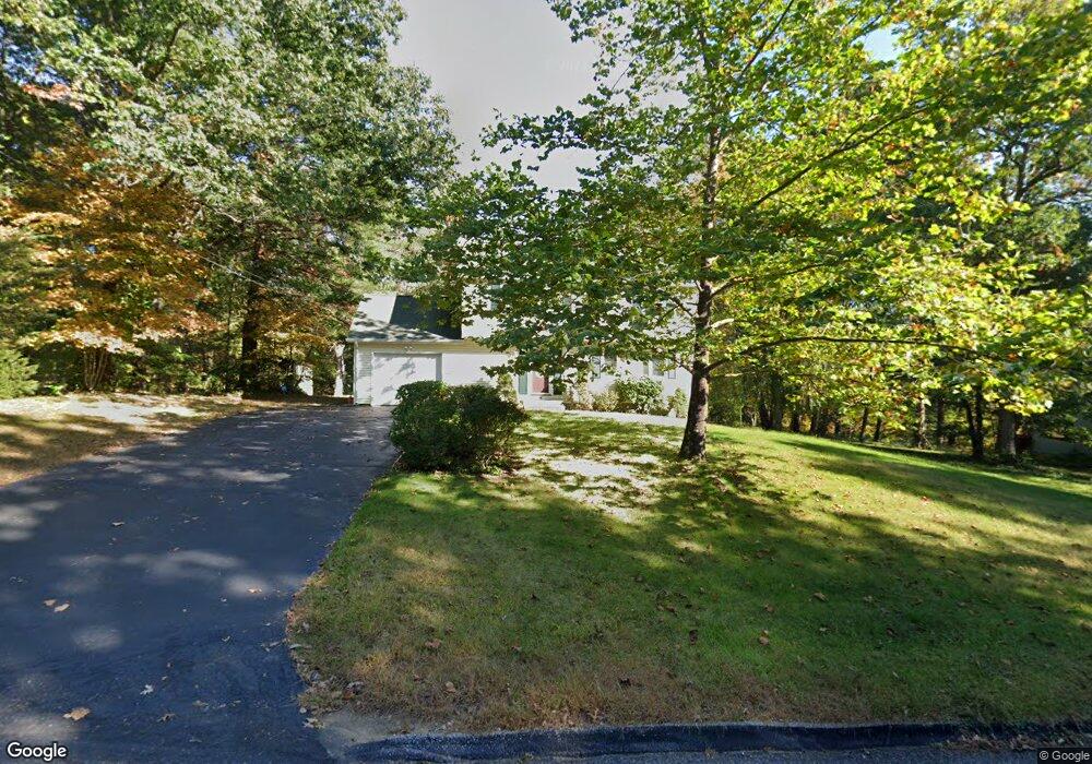
56 Fermier Rd Willington, CT 06279
Estimated Value: $372,081 - $397,000
4
Beds
2
Baths
1,650
Sq Ft
$233/Sq Ft
Est. Value
About This Home
This home is located at 56 Fermier Rd, Willington, CT 06279 and is currently estimated at $384,270, approximately $232 per square foot. 56 Fermier Rd is a home located in Tolland County with nearby schools including Center Elementary School, Hall Memorial School, and E.O. Smith High School.
Ownership History
Date
Name
Owned For
Owner Type
Purchase Details
Closed on
May 13, 2002
Sold by
Pawlak Steven and Pawlak Tina
Bought by
Britschock Eric and Britschock Catherine
Current Estimated Value
Purchase Details
Closed on
May 22, 1996
Sold by
Messenger Eugene
Bought by
Pawlak Steven and Pawlak Tina
Create a Home Valuation Report for This Property
The Home Valuation Report is an in-depth analysis detailing your home's value as well as a comparison with similar homes in the area
Home Values in the Area
Average Home Value in this Area
Purchase History
| Date | Buyer | Sale Price | Title Company |
|---|---|---|---|
| Britschock Eric | $180,000 | -- | |
| Britschock Eric | $180,000 | -- | |
| Pawlak Steven | $130,500 | -- | |
| Pawlak Steven | $130,500 | -- |
Source: Public Records
Mortgage History
| Date | Status | Borrower | Loan Amount |
|---|---|---|---|
| Open | Pawlak Steven | $144,500 | |
| Closed | Pawlak Steven | $59,800 | |
| Closed | Pawlak Steven | $181,000 |
Source: Public Records
Tax History
| Year | Tax Paid | Tax Assessment Tax Assessment Total Assessment is a certain percentage of the fair market value that is determined by local assessors to be the total taxable value of land and additions on the property. | Land | Improvement |
|---|---|---|---|---|
| 2025 | $5,189 | $204,130 | $57,710 | $146,420 |
| 2024 | $4,954 | $146,190 | $35,300 | $110,890 |
| 2023 | $4,701 | $146,190 | $35,300 | $110,890 |
| 2022 | $4,571 | $146,190 | $35,300 | $110,890 |
| 2021 | $4,384 | $146,190 | $35,300 | $110,890 |
| 2020 | $4,384 | $146,190 | $35,300 | $110,890 |
| 2019 | $4,399 | $146,190 | $35,300 | $110,890 |
| 2018 | $4,532 | $150,630 | $47,160 | $103,470 |
| 2017 | $4,532 | $150,630 | $47,160 | $103,470 |
| 2015 | $4,118 | $150,630 | $47,160 | $103,470 |
| 2014 | $4,118 | $150,630 | $47,160 | $103,470 |
Source: Public Records
Map
Nearby Homes
- 21 Fermier Rd
- 167 Armitage Rd
- 0 Lohse Rd Unit map 42 block 21
- 228 Ruby Rd
- 44 Michalec Rd
- 0 Jared Sparks Rd
- 113 Michelec Rd
- 21 Ashley Ln
- 144 Hnath Rd
- 0 River Rd Unit 24120753
- 28 Cemetery Rd
- 292 Tolland Turnpike
- 280 Village Hill Rd
- 102 Krapf Rd
- 3 Valery Rd
- 2 Old Barrows Rd
- 35 Stafford St
- 37 Willington Ave
- 483 North Rd
- 88 Stafford St
Your Personal Tour Guide
Ask me questions while you tour the home.