56 Fireside River Trace E Dahlonega, GA 30533
Estimated Value: $484,579 - $580,000
4
Beds
3
Baths
2,755
Sq Ft
$190/Sq Ft
Est. Value
About This Home
This home is located at 56 Fireside River Trace E, Dahlonega, GA 30533 and is currently estimated at $524,395, approximately $190 per square foot. 56 Fireside River Trace E is a home located in Lumpkin County with nearby schools including Clay County Middle School and Lumpkin County High School.
Ownership History
Date
Name
Owned For
Owner Type
Purchase Details
Closed on
Jun 12, 2019
Sold by
Azcan Us Residential Real Estate Corp
Bought by
Blankinship Troy
Current Estimated Value
Purchase Details
Closed on
Sep 5, 2017
Bought by
Azcan Us Residential Real Esta
Purchase Details
Closed on
Aug 6, 2013
Sold by
Lumpkin County Tax Commiss
Bought by
Solid Rock Equities Llc
Purchase Details
Closed on
Oct 9, 2003
Sold by
Dodd Danny and Dodd Sherry
Bought by
Dodd Sherry
Purchase Details
Closed on
May 22, 2002
Sold by
Clemons Corbin Lee
Bought by
Dodd Danny and Dodd Sherry
Purchase Details
Closed on
Jul 14, 1998
Sold by
Mary Ann
Bought by
Clemons Corbin Lee
Create a Home Valuation Report for This Property
The Home Valuation Report is an in-depth analysis detailing your home's value as well as a comparison with similar homes in the area
Home Values in the Area
Average Home Value in this Area
Purchase History
| Date | Buyer | Sale Price | Title Company |
|---|---|---|---|
| Blankinship Troy | $65,000 | -- | |
| Azcan Us Residential Real Esta | $27,000 | -- | |
| Solid Rock Equities Llc | $7,569 | -- | |
| Dodd Sherry | -- | -- | |
| Dodd Danny | $19,500 | -- | |
| Clemons Corbin Lee | $35,000 | -- |
Source: Public Records
Tax History Compared to Growth
Tax History
| Year | Tax Paid | Tax Assessment Tax Assessment Total Assessment is a certain percentage of the fair market value that is determined by local assessors to be the total taxable value of land and additions on the property. | Land | Improvement |
|---|---|---|---|---|
| 2024 | $4,472 | $188,798 | $21,504 | $167,294 |
| 2023 | $4,506 | $191,557 | $17,920 | $173,637 |
| 2022 | $3,831 | $154,729 | $14,336 | $140,393 |
| 2021 | $959 | $37,456 | $14,336 | $23,120 |
| 2020 | $686 | $36,772 | $14,336 | $22,436 |
| 2019 | $979 | $36,772 | $14,336 | $22,436 |
| 2018 | $964 | $33,995 | $14,336 | $19,659 |
| 2017 | $1,682 | $58,133 | $14,336 | $43,797 |
| 2016 | $1,616 | $54,026 | $14,336 | $39,690 |
| 2015 | $1,386 | $54,026 | $14,336 | $39,690 |
| 2014 | $1,386 | $54,578 | $14,336 | $40,242 |
| 2013 | -- | $55,128 | $14,336 | $40,792 |
Source: Public Records
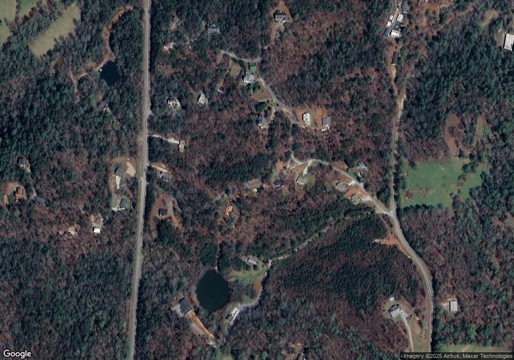
Map
Nearby Homes
- 412 Fireside Ridge Dr
- 133 Elkmont Dr
- 748 Damascus Church Rd
- 134 Elkmont Dr
- 2717 Damascus Church Rd
- 124 Candy Man Ln
- 180 Alonzo Cain Rd
- 0 Damascus Church Rd Unit 21674636
- 925 Horseshoe Bend Rd
- 0 Horseshoe Bend Rd Unit 10571975
- 0 Horseshoe Bend Rd Unit 7620338
- 0 Stancil Dyer Rd Unit 10656125
- 11161 Highway 19 N
- 31 Pine Rd
- 129 Pine Rd
- 529 Eden Cir
- 265 Hound Dog Ln
- 0 Ts Jarrard Rd Unit Tract 3
- 0 Paradise Valley Rd Unit 10468779
- 971 Mountain Cove Rd
- 57 Fireside River Trace W
- 93 Fireside River Trace W
- 0 Fireside River Trace W Unit 6837293
- 0 Fireside River Trace W Unit 8800983
- 0 Fireside River Trace W Unit 6717891
- 0 Fireside River Trace W Unit 6710785
- 0 Fireside River Trace W Unit 3270025
- 0 Fireside River Trace W Unit 8545869
- A7-A Fireside River Trace W
- Tract1 Fireside River Trace W
- 177 Fireside River Trace E
- 75 Fireside River Trace W
- 30 Fireside River Trace W
- Lot A4 Fireside River Trace W
- 2410 Frogtown Rd
- 145 Fireside River Trace W
- 67 Fireside River Trace E
- 2379 Frogtown Rd
- 142 Fireside River Trace W
- 0 Turning Point Unit F5-F6 7303607